Rancho Estela High Road
Total Kilometers
10.1
Technical Rating
Best Time
Spring, Summer, Fall, Winter
Trail Type
Full-Width Road
Accessible By
Trail Overview
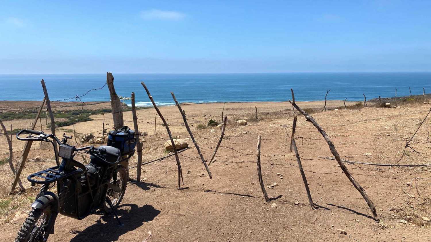
The High Road to Rancho Estela begins as a well-maintained route, offering some of the most expansive and breathtaking views in Mexico. As you ascend, the road quickly gains elevation, providing panoramic vistas that stretch beyond the city of Ensenada. Along the way, you'll notice several forks leading to nearby towns, but the main trail continues upward until you reach the summit. From there, the descent begins with a series of steep and sharp switchbacks, demanding careful navigation. As you wind your way down, the view opens up to reveal the vast Pacific Ocean, with sightlines extending almost to La Bocana. Upon reaching the Estella Ranch area, you'll encounter a closed gate; however, by speaking with someone at the ranch, you can arrange to continue your journey.
Photos of Rancho Estela High Road
Difficulty
While the trail is generally not challenging, the final mile or two after the ascent is less maintained and infrequently traveled. Deep ruts and loose rocks are common in this section, requiring careful attention due to the constant exposure. The road was mapped under ideal, dry conditions, but after a major storm or in wet weather, it could easily become impassable.
Status Reports
Popular Trails

Bahia Soledad

El Marmol

Monte Ceniza Nature Reserve

Volcano Kenton Summit NE Route
The onX Offroad Difference
onX Offroad combines trail photos, descriptions, difficulty ratings, width restrictions, seasonality, and more in a user-friendly interface. Available on all devices, with offline access and full compatibility with CarPlay and Android Auto. Discover what you’re missing today!


