Road to San Carlos Hot Springs
Total Kilometers
17.7
Technical Rating
Best Time
Spring, Fall, Winter, Summer
Trail Type
Full-Width Road
Accessible By
Trail Overview
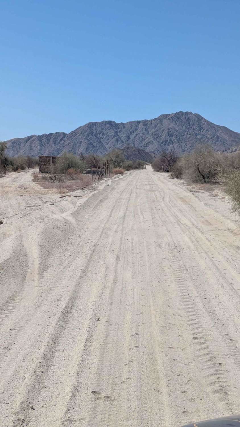
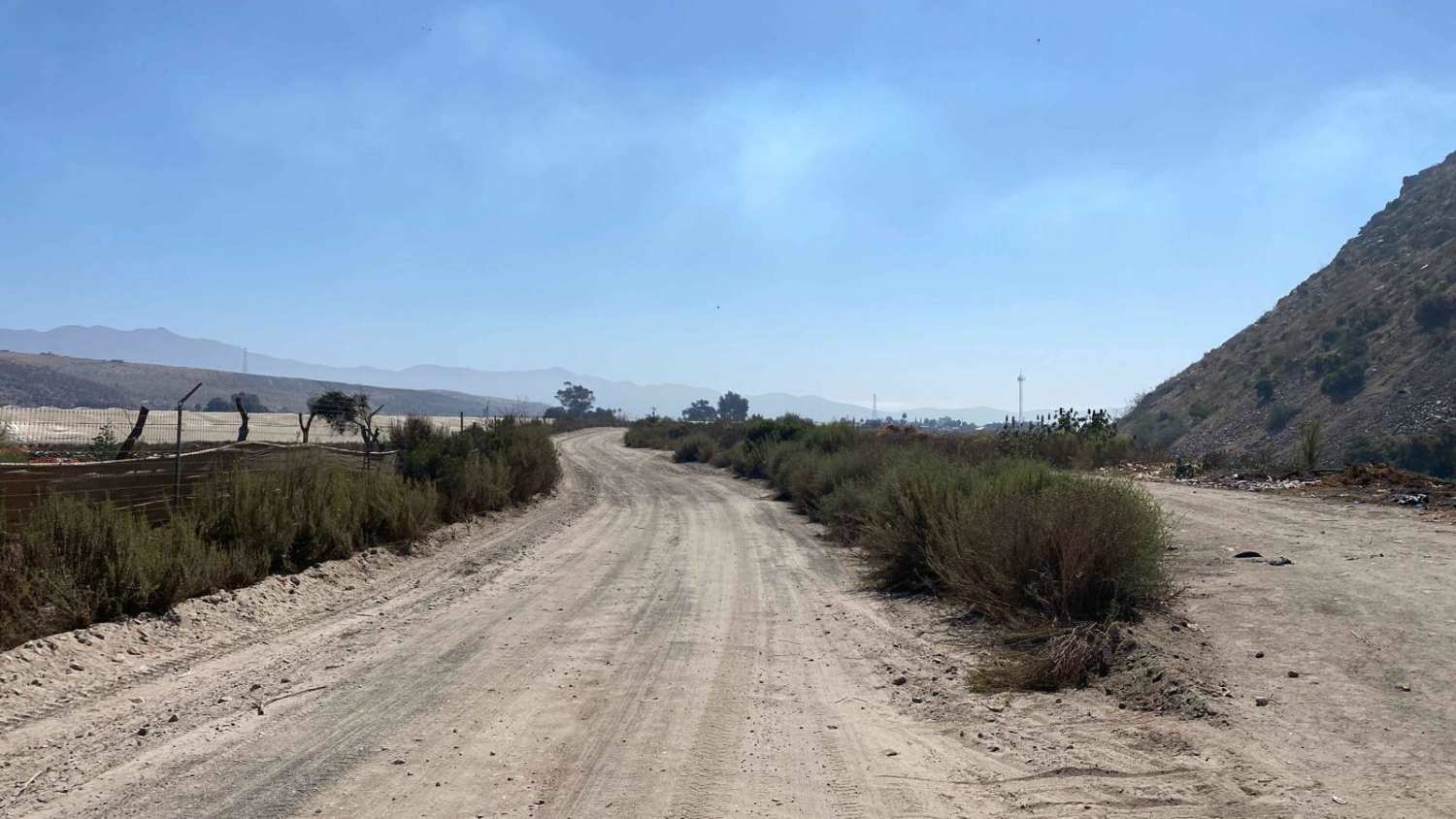
To begin this off-road adventure, you'll need to exit the main road just before crossing the bridge; the dirt road you're seeking begins beneath it. As you start your journey, you might initially feel like you've taken a wrong turn. The first few miles resemble a road leading to a landfill, and at one point, it may even seem as though you've arrived at one. But don't be discouraged; the landscape soon begins to transform. The dusty, dry terrain gradually gives way to a valley bursting with greenery, a sight you wouldn't have expected from the outset. As you venture deeper into the canyon, the scenery becomes more vibrant, with lush vegetation and a thriving wildlife population. Along the way, you'll pass by several ranches that offer camping opportunities and access to the nearby stream. The further you travel, the denser the greenery becomes, and you'll encounter a variety of interesting plants, trees, and wildlife. There are sections where the road leads you through tunnels of oak trees and rows of palm trees, making you question where this path is truly leading. Throughout the journey, you'll come across multiple stream crossings--navigable during the dry season, but likely more challenging and spectacular during the wet season. In wetter months, the large, smooth rocks hint at deeper river crossings, making the route all the more adventurous. At the end of the canyon, you'll reach the Hot Springs, where several pools of varying temperatures await, offering a relaxing and rewarding conclusion to your journey.
Photos of Road to San Carlos Hot Springs
Difficulty
This trail is suitable for any high-clearance 2WD vehicle. The road begins with a rough washboard surface, so if you can easily air down your tires, it's highly recommended for a smoother ride. While there are always a few water crossings, expect more challenging and deeper river crossings during the wet months, along with areas of standing water.
Road to San Carlos Hot Springs can be accessed by the following ride types:
- High-Clearance 4x4
- SUV
- SxS (60")
- ATV (50")
- Dirt Bike
Road to San Carlos Hot Springs Map
Popular Trails

Mision Santo Domingo Canyon

Que Comience la Carrera

Control Tower Trail

Pine Forest Trail to Laguna Hanson Cerro San Pedro
The onX Offroad Difference
onX Offroad combines trail photos, descriptions, difficulty ratings, width restrictions, seasonality, and more in a user-friendly interface. Available on all devices, with offline access and full compatibility with CarPlay and Android Auto. Discover what you’re missing today!

