2055 Single Track
Total Miles
3.1
Technical Rating
Best Time
Spring, Winter, Fall
Trail Type
Single Track
Accessible By
Trail Overview
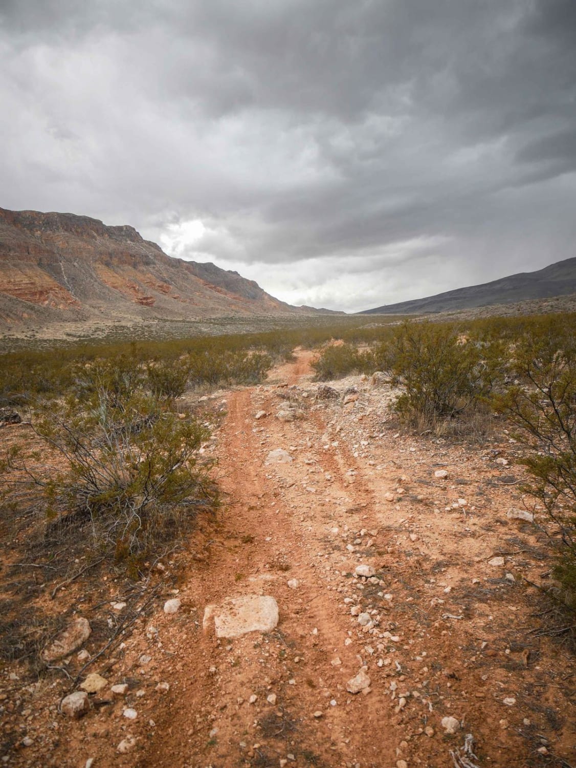
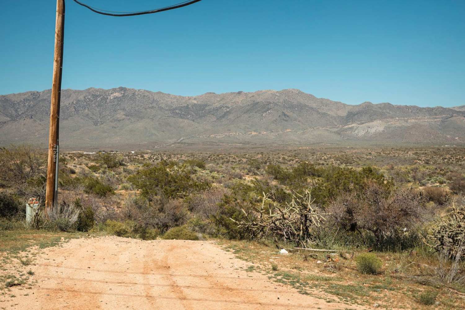
2055 is a 3-mile-long dirt bike trail in northern Arizona just below the border of Utah. It goes through desert terrain on a mix of sand and dirt, through bushes and cacti and rocks. You get great views of the colorful surrounding mesas regardless of which direction you ride. It dips in and out of several rocky ravines, has lots of whoops, and crosses a dirt road. It's easy to follow because it's signed at the entrance and halfway through. It has lots of little ups and downs over small hills and sudden big dips, so watch out for big G-outs. Some sections are quite a bit rockier with loose chunks of rock and gravel that make for a bumpy ride, but other sections are smooth. This type of terrain can change drastically with storms and moisture, so watch out for washouts across the trail.
Photos of 2055 Single Track
Difficulty
This is an easy desert single track with features such as rocky sections, sudden dips into ravines, washouts, and whoops.
Status Reports
2055 Single Track can be accessed by the following ride types:
- Dirt Bike
2055 Single Track Map
Popular Trails
Strawberry to Pine
Loop Road N. / 108
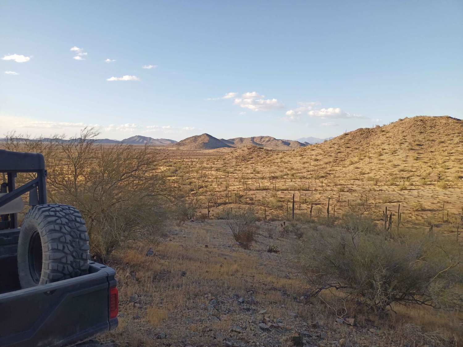
Hawk Hills Northern Hilltop
The onX Offroad Difference
onX Offroad combines trail photos, descriptions, difficulty ratings, width restrictions, seasonality, and more in a user-friendly interface. Available on all devices, with offline access and full compatibility with CarPlay and Android Auto. Discover what you’re missing today!

