553
Total Miles
1.8
Technical Rating
Best Time
Spring, Summer, Fall
Trail Type
Full-Width Road
Accessible By
Trail Overview
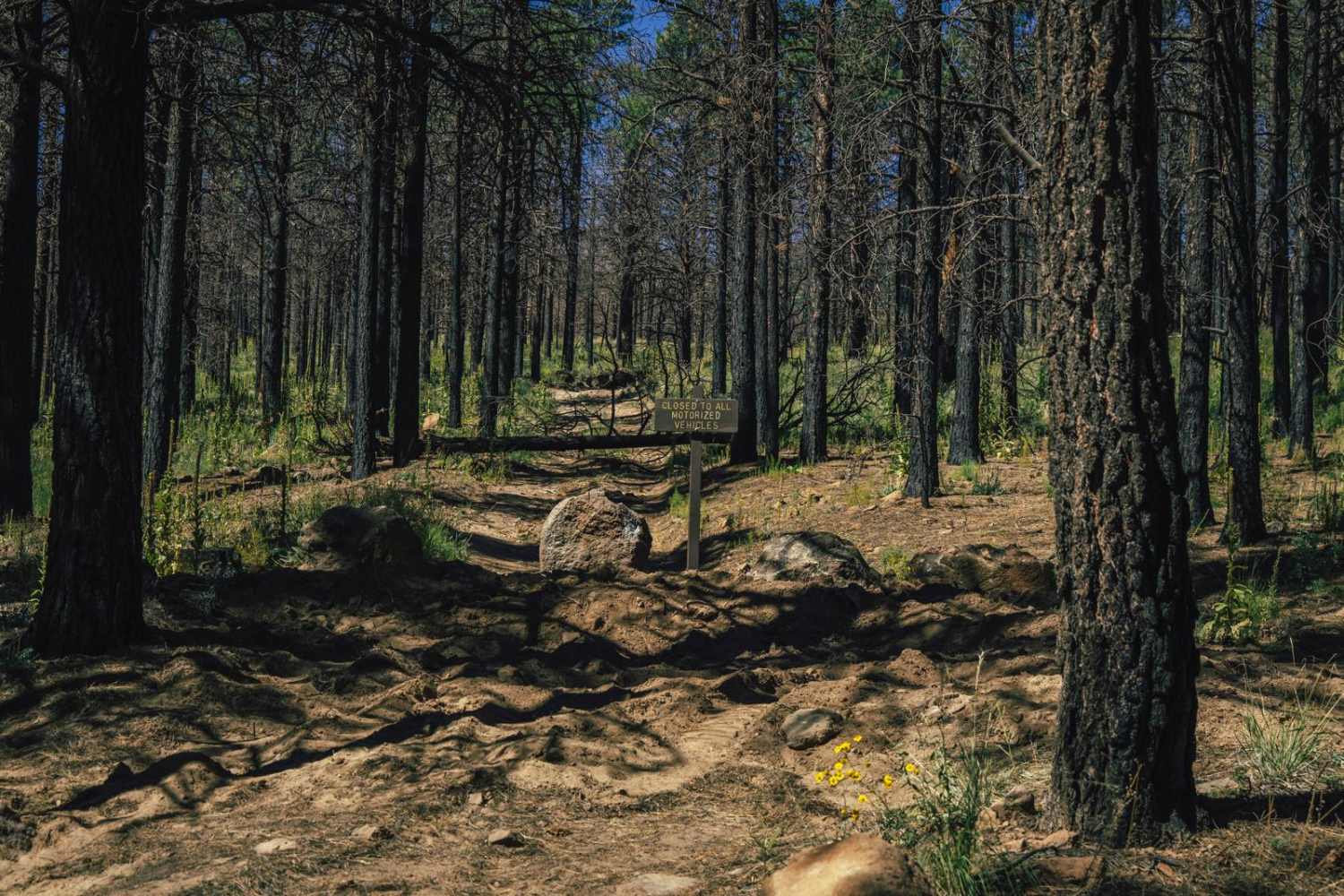
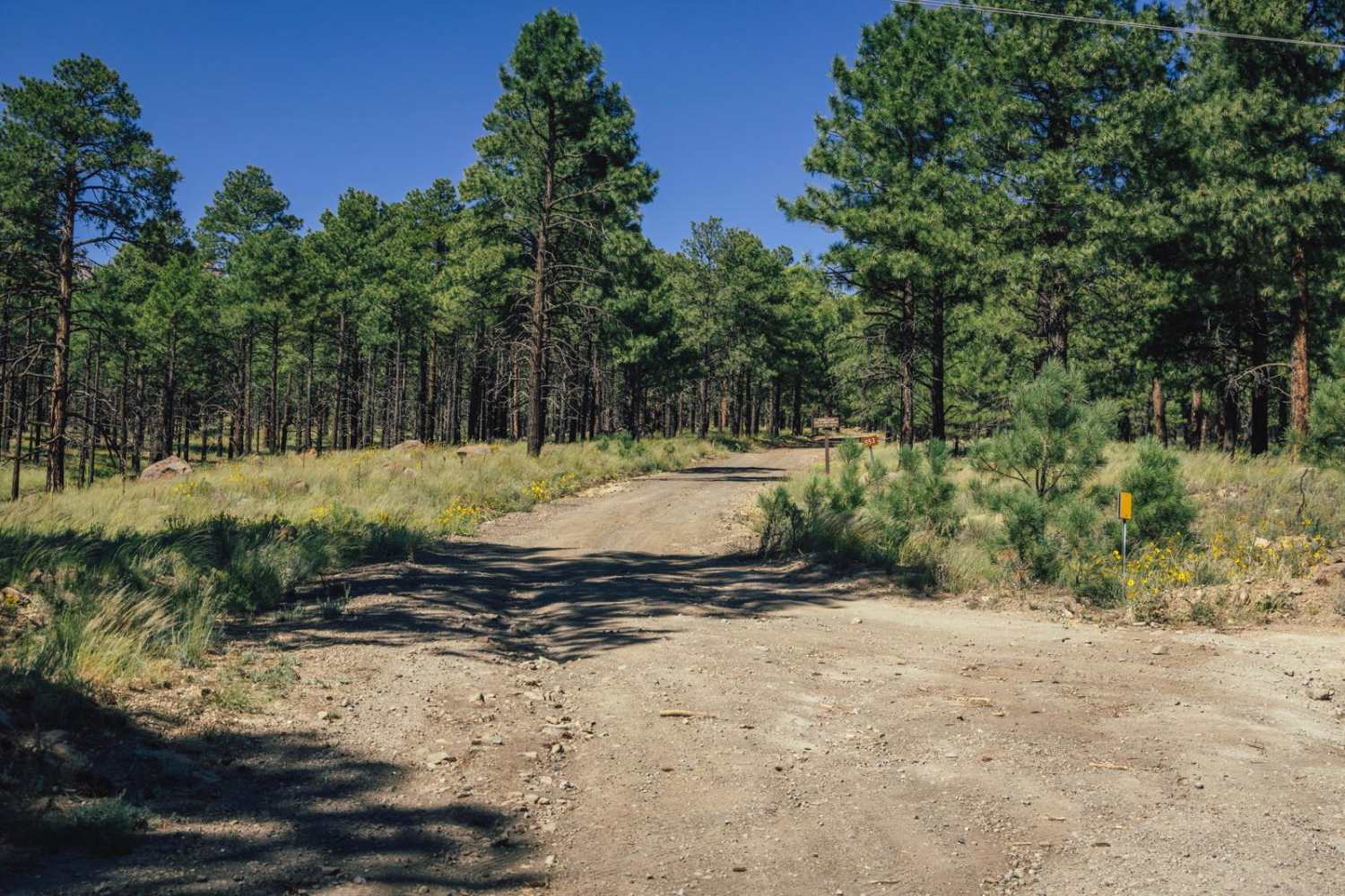
The 553 Trail starts as a wide dirt road that is mellow, with some erosion and water damage. NOTE* This trail is BLOCKED 2 miles in, and does not connect as it usually would with the Lockett Meadow Campground. As you come up into the beautiful Ponderosa Pines, you'll see sporadic campsites and pullouts. The trail narrows and becomes gnarlier the further you get into the burn scar, with charred trees and scattered damage present. After the fire, the Forest Service and fire crews saw fit to block this tail about 2 miles in, on an uphill slope, with trees and large boulders across the trail. This area is still popular with hunters, so don't be surprised to see people camped, or hiking out and about in the distance. In this area, you might see elk, deer, coyote, and various bird species. There is little cell service in this area, so offline maps are recommended.
Photos of 553
Difficulty
This is an unmaintained trail that has been blocked 2 miles in and does not connect to the campground. The trail does have campsites along it, but the further you get up the hill into the burn scar, the more rough the trail becomes with wash crossings, erosion, and water damage.
Status Reports
553 can be accessed by the following ride types:
- High-Clearance 4x4
- SUV
- SxS (60")
- ATV (50")
- Dirt Bike
553 Map
Popular Trails
RV Oasis Bypass West
Sunflower Mine

Flat Rock Point
The onX Offroad Difference
onX Offroad combines trail photos, descriptions, difficulty ratings, width restrictions, seasonality, and more in a user-friendly interface. Available on all devices, with offline access and full compatibility with CarPlay and Android Auto. Discover what you’re missing today!
