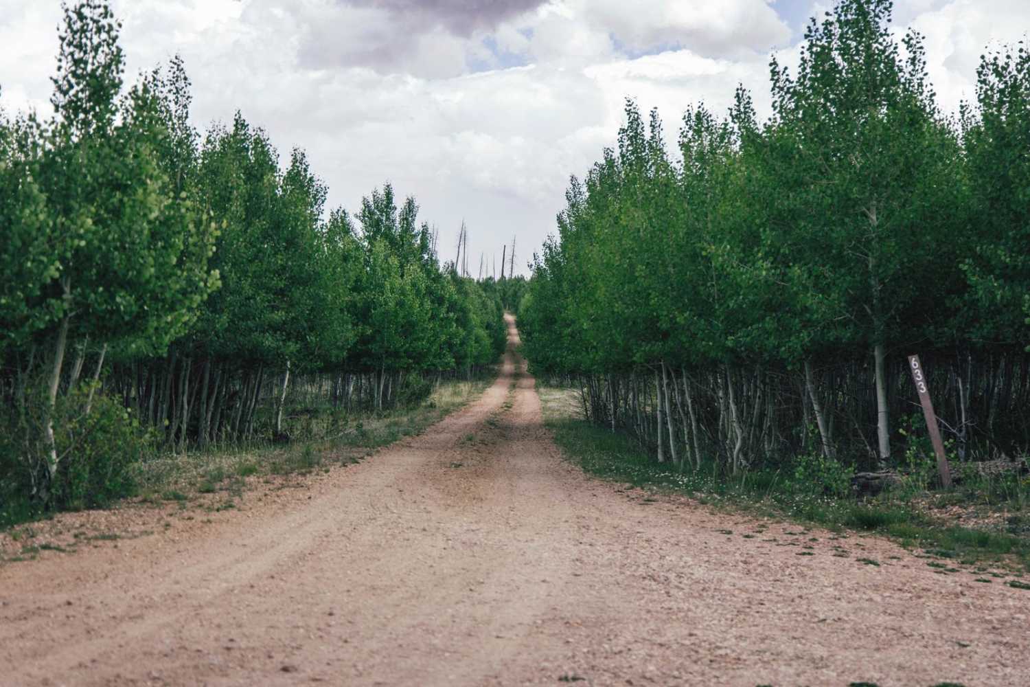
633
Total Miles
4.7
Elevation
2,702.98 ft
Duration
0.5 Hours
Technical Rating
Best Time
Spring, Summer, Fall
Trail Overview
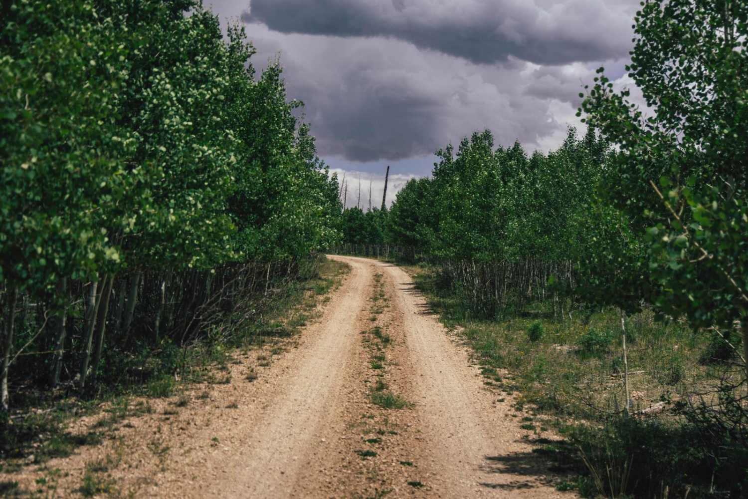
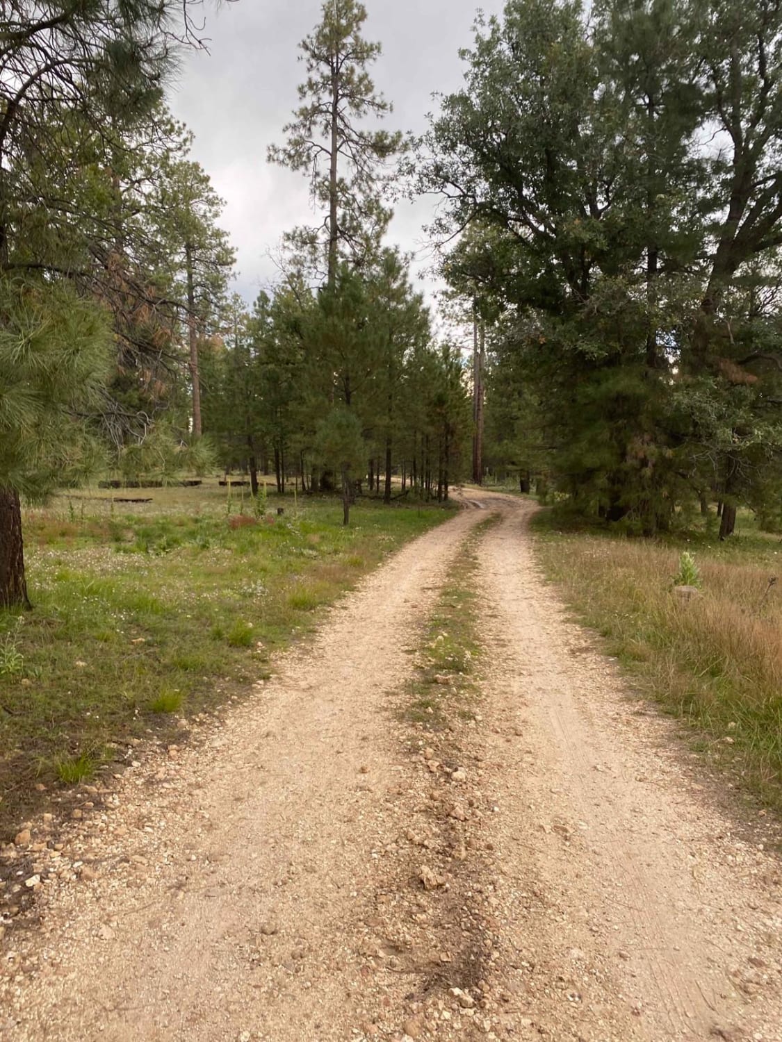
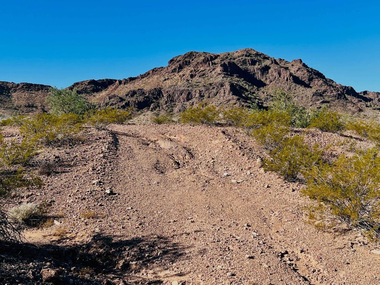
633 is one of the most cool and interesting trails in the area. This one-lane trail follows a ridgeline through a massive wildfire burn scar. As you can see on the road, the views from the trail are nothing short of beautiful, even for an area marred by disaster. Built (presumably) as a fire road, this trail has no obstacles on it. There is only one bar of cell service on this road, at best, so it's wise to have downloaded offline maps for the area.
Photos of 633
Difficulty
This is an unmaintained road of mostly dirt and gravel. There are aspen groves, but for the most part, it is on an exposed ridgeline. It's one lane with some places to turn around, but this trail goes through a wildfire burn scar and is now a fragile environment, trying to regrow. Tread lightly.
Status Reports
Popular Trails
West Buzzard Ridge
Ocotillo Adjacent Run
Henderson Flat
The onX Offroad Difference
onX Offroad combines trail photos, descriptions, difficulty ratings, width restrictions, seasonality, and more in a user-friendly interface. Available on all devices, with offline access and full compatibility with CarPlay and Android Auto. Discover what you’re missing today!