Agway Road-BLM1018
Total Miles
18.3
Technical Rating
Best Time
Spring, Summer, Fall, Winter
Trail Type
Full-Width Road
Accessible By
Trail Overview
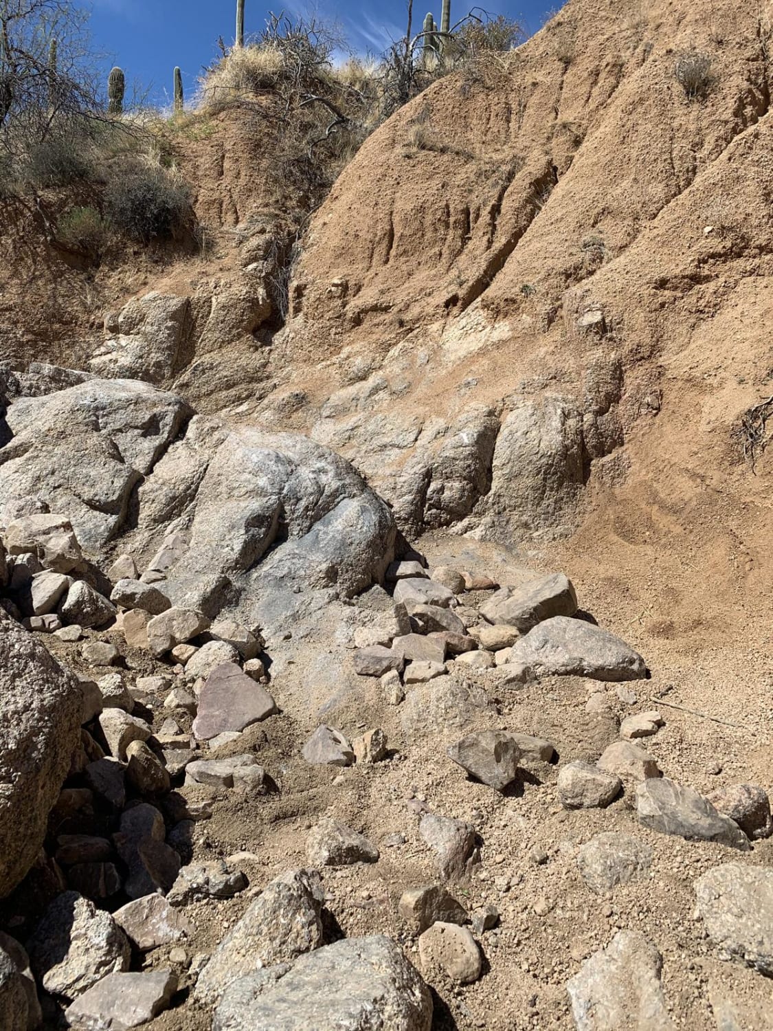
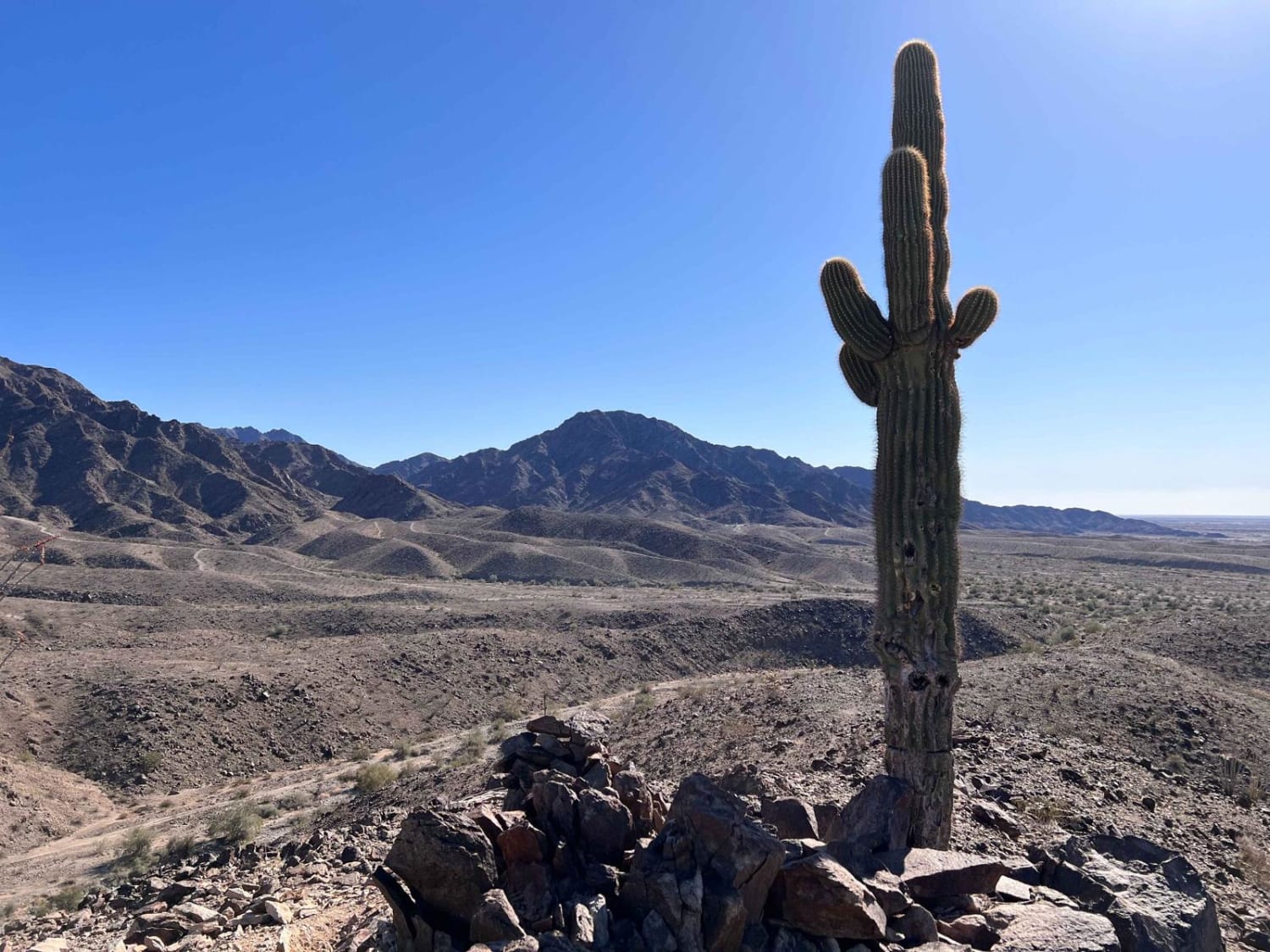
Agway Road-BLM1018 is an 18.3-mile point-to-point trail rated 2 of 10 located within the Grand Canyon Parashant National Monument. The trail is single track with plenty of places to pass oncoming traffic. Agway Road runs east-west, with the western end connecting to Mohave County Road 103 and the eastern end being the Trumbull Schoolhouse on Mohave County Road 5. Agway Road transits the south side of Poverty Mountain. At the intersection of Agway Road and County 103, there is a large OHV parking area for vehicles and trailers. The western half of the trail runs through pinyon pines and scrub and the trail is rocky and narrow in places. Continuing east, the trail drops into a large high desert plain, much of which is leased out by the BLM for cattle grazing. Here, the trail smooths out some and will parallel cattle fences separating the various grazing lots. Agway Road is one of the major access routes from Interstate 15 to the north rim of the Grand Canyon overlooks of Twin Point, Kelly Point, Whitmore Camp, and Toroweap. This area of the National Monument is very remote. There are no services of any type and a vehicle recovery can cost upwards of $3,000.
Photos of Agway Road-BLM1018

Difficulty
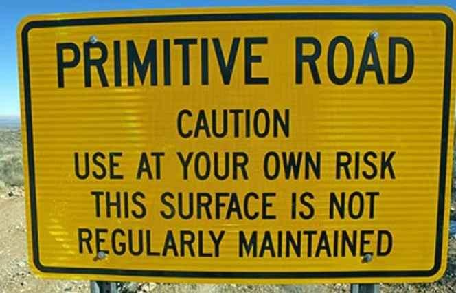
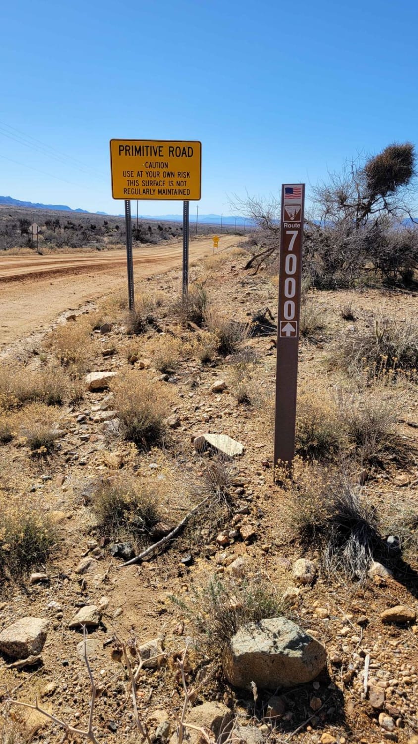
This is a county dirt road with infrequent or light maintenance after rain or snow. High-clearance, light-duty 4WD may be required.
Status Reports
Agway Road-BLM1018 can be accessed by the following ride types:
- High-Clearance 4x4
- SUV
- SxS (60")
- ATV (50")
- Dirt Bike
Agway Road-BLM1018 Map
Popular Trails
Rocker panel pass

Levee Road
The Saguaro that Watches Over Yuma
Spur Loop to Chloride AZPT Connector (Northeast)
The onX Offroad Difference
onX Offroad combines trail photos, descriptions, difficulty ratings, width restrictions, seasonality, and more in a user-friendly interface. Available on all devices, with offline access and full compatibility with CarPlay and Android Auto. Discover what you’re missing today!