Spur Loop to Chloride AZPT Connector (Northeast)
Total Miles
6.7
Elevation
1,224.96 ft
Duration
0.75 Hours
Technical Rating
Best Time
Spring, Summer, Fall, Winter
Trail Overview
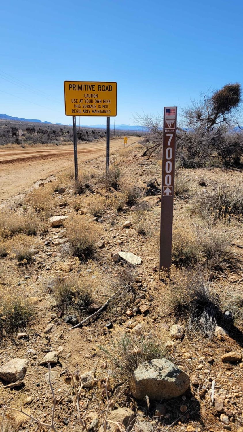
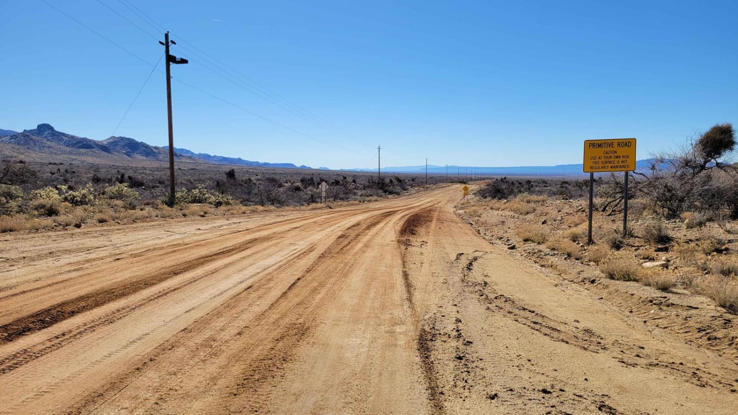
This is a connector section of the Arizona Peace Trail system from the town of Chloride. The trail begins and ends with pavement, but the middle section is a wide, routinely-trafficked dirt road. Warning signs of "Primitive Road" and "Flash Flood Area" are posted. In wet/rainy conditions, the road may become challenging or impassable. In dry conditions, it should be smooth sailing. There are many offshoot trails to explore, including one up to the Emerald Isle Mine. Be sure to glance over at the massive Turquoise Mountain Mine to the east. Also, keep an eye on the telephone poles and you might catch some beautiful hawks perched up top.
Photos of Spur Loop to Chloride AZPT Connector (Northeast)
Difficulty
The trail begins and ends with pavement, but the middle section is a wide, routinely-trafficked dirt road. Warning signs of "Primitive Road" and "Flash Flood Area" are posted. In wet/rainy conditions, the road may become challenging or impassable. In dry conditions, it should be smooth sailing.
History
The Arizona Peace Trail is a nearly 700-mile off-highway vehicle trail loop system in Mohave, La Paz, and Yuma counties in western Arizona. The AZPT was first initiated by the Bureau of Land Management (BLM) and the Arizona Game and Fish Department (AZGFD) in July 2013. It is one of the longest signed and mapped OHV trail systems in the United States. The Turquoise Mountain Mine in the Mineral Park Mining District near Kingman, Arizona, is one of the largest domestic turquoise mines in operation. Turquoise from this mine remains highly collectible. This stone exhibits a beautiful range of colors from pale blue to lime green in one piece, making it a sought-after turquoise.
Status Reports
Popular Trails

Nacho's Bar Cutover Tight Squeeze
AZPT The Fields To The Abandoned Bus Stop
The onX Offroad Difference
onX Offroad combines trail photos, descriptions, difficulty ratings, width restrictions, seasonality, and more in a user-friendly interface. Available on all devices, with offline access and full compatibility with CarPlay and Android Auto. Discover what you’re missing today!
