Alliance Mine
Total Miles
1.4
Elevation
820.11 ft
Duration
0.5 Hours
Technical Rating
Best Time
Spring, Fall, Winter
Trail Overview
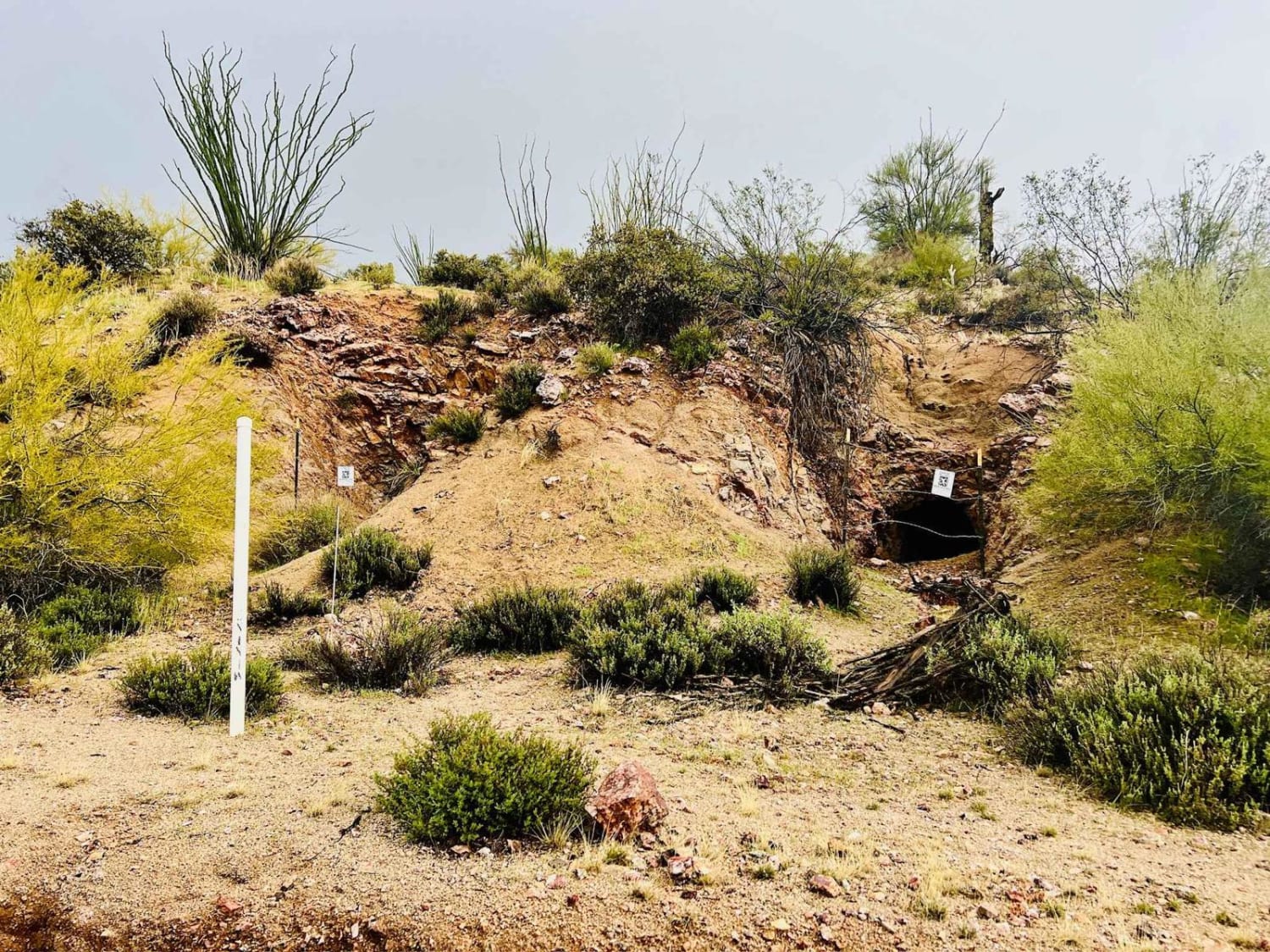
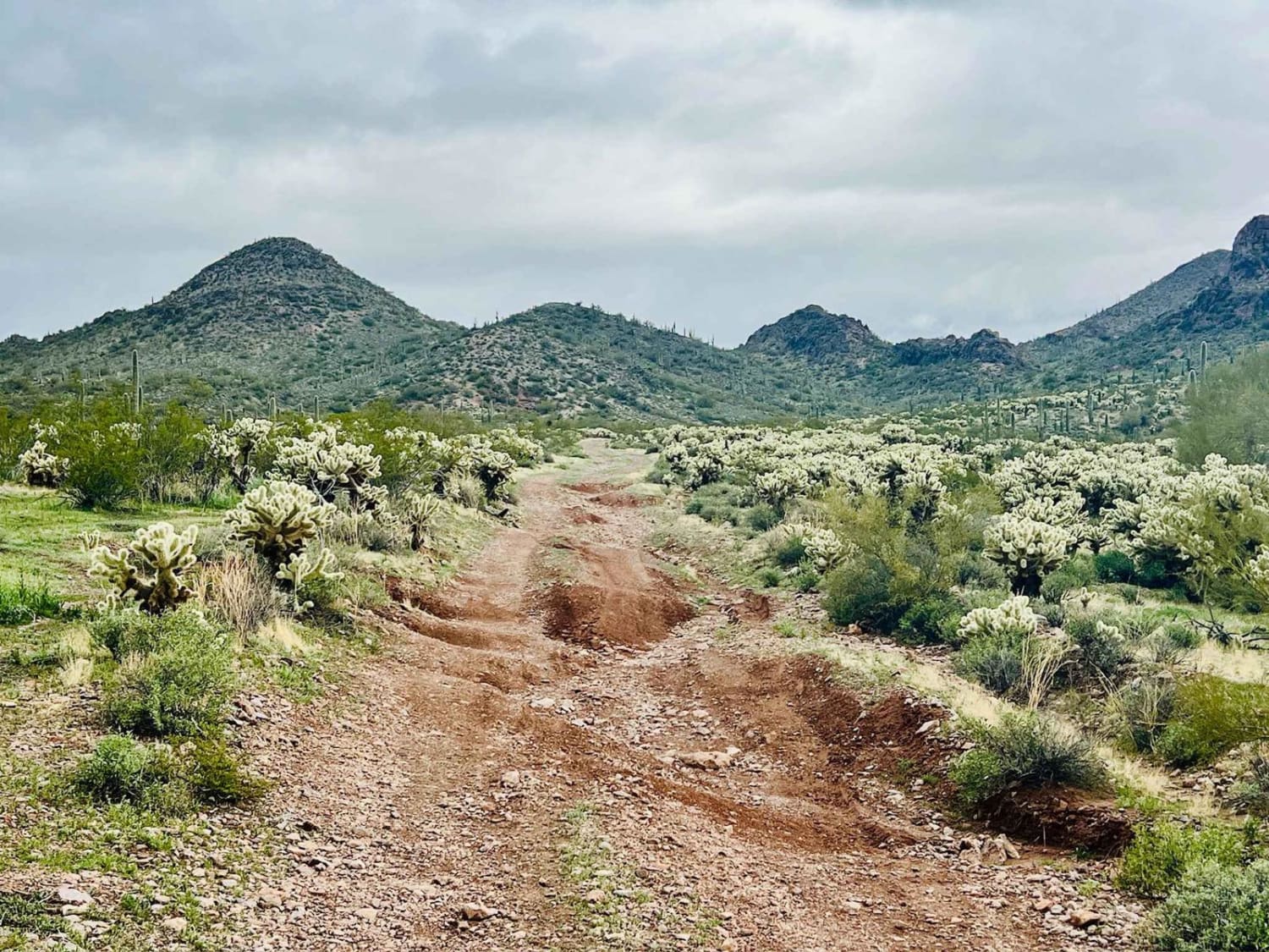
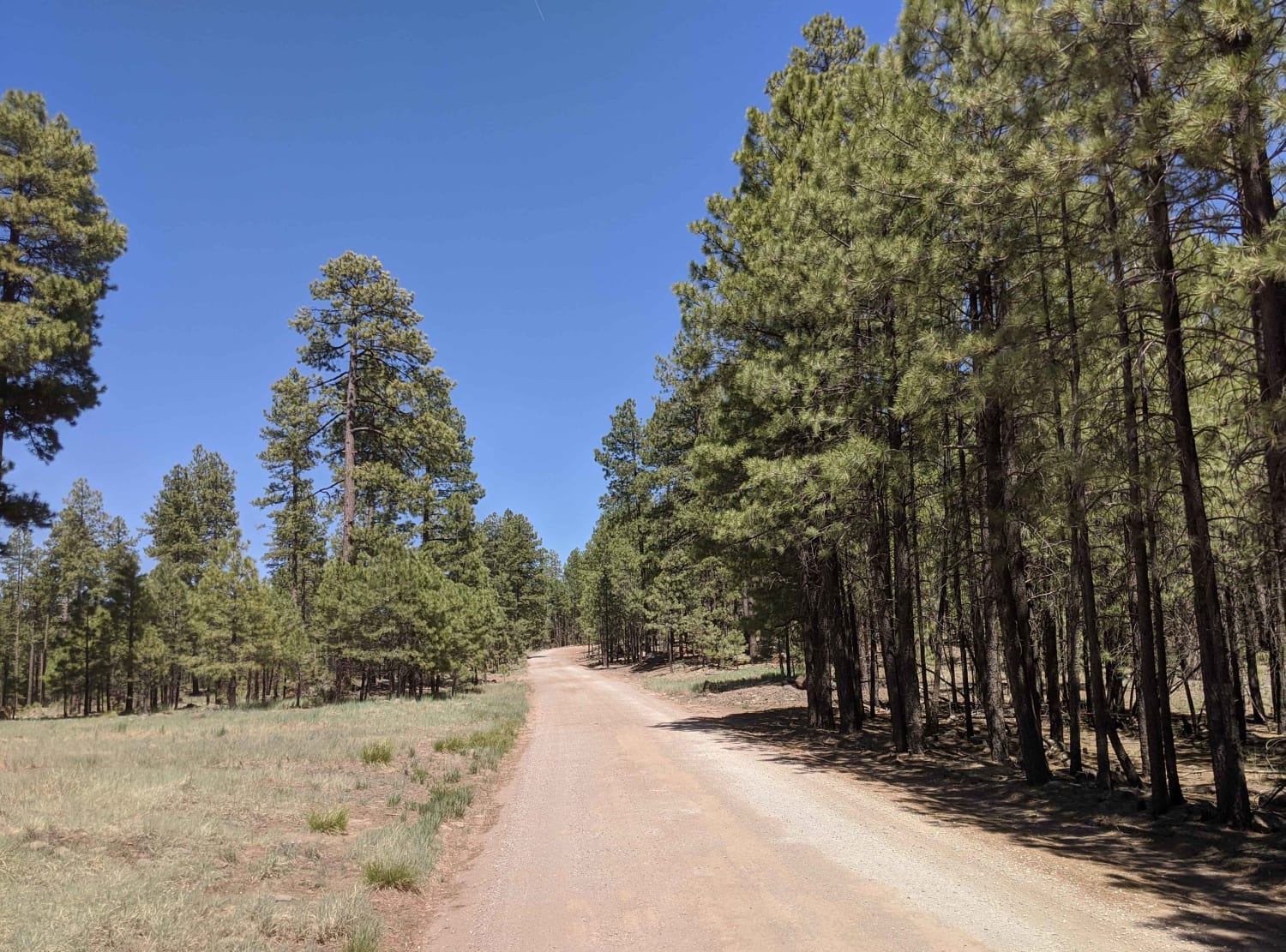
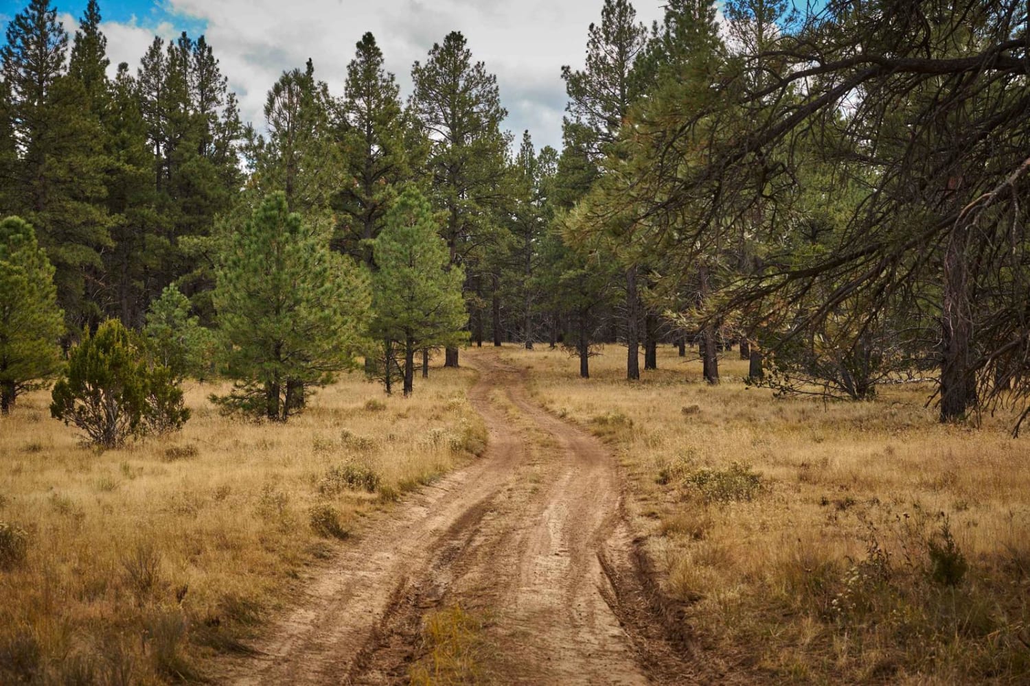
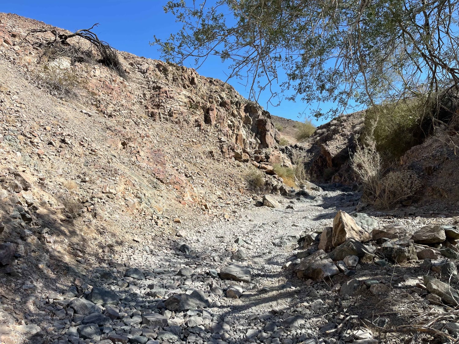
This trail is now an out-and-back trail. It used to be a loop; however, a new paved road has blocked one end of the loop. A wire fence along the paved road blocks the old trail. This is a shorter trail to get to the Alliance Mine. The entrance to this trail off of Vulture Mine Road is a downhill transition across a wash and up a steep hill. Some alternate routes to the mine might be fun to explore. The trail runs along a hilltop for a bit until it gets to an open area with some old mine tailings. There is a nice dispersed campsite at this first mining area on the edge of a canyon. The trail narrows into a forest of yellow jumping cactus. There are a few loose, rocky downhill sections leading into a wash. The bottom of these hills is very off-camber and has some washouts that simultaneously make for a fun, flexy section. The central part of the Alliance Mine is in the wash. Parking is tight, but as this trail is no longer a loop, there is unlikely to be any oncoming traffic beyond the mine. Park and walk up the hill to get a closer look. There are several old mining holes. It is recommended that you turn around just after the mine and head back. The wash is tight and narrow. Otherwise, it continues to the newly paved road with the fence across. Vehicles will still have to turn around and head back as there is no gate. There is one bar of intermittent cell service at the beginning of the trail and the dispersed campsite. There is no AT&T cellular service at the Alliance Mine. This area gets extremely hot in the summertime. Bring lots of extra water and supplies if traveling in the summer months.
Photos of Alliance Mine
Difficulty
The rating is for the steep, loose hill climbs at the beginning of the trail and the steep drop to get down into the wash at the mine. There is a very off-camber section close to the mine with deep ruts. The wash is loose, soft, and narrow, with some rocks to navigate around or over.
Status Reports
Popular Trails

Buckhorn Canyon
AZPT Main Canal to Martinez Lake Southern Section
The onX Offroad Difference
onX Offroad combines trail photos, descriptions, difficulty ratings, width restrictions, seasonality, and more in a user-friendly interface. Available on all devices, with offline access and full compatibility with CarPlay and Android Auto. Discover what you’re missing today!
