ASTL Bisector
Total Miles
3.9
Technical Rating
Best Time
Spring, Summer, Fall
Trail Type
Full-Width Road
Accessible By
Trail Overview
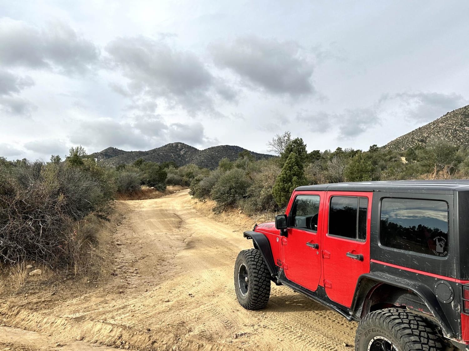
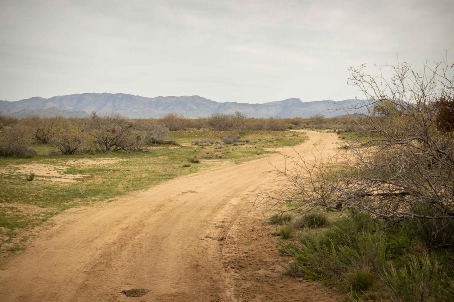
The ASTL Bisector is a mellow trail, wide and easy. It appears to have been graded recently as of March 2024, as most of the trouble spots are only remnants of what used to be mud ruts and steep sandy wash crossings. With minimal erosion on this trail, there are no obstacles to be wary of. It's lined with creosote and gives the feeling of almost driving through a creosote orchard. There are 2 bars of service (Verizon) along this road, but that sometimes drops off. This route is on Arizona State Trust Land. This land requires a yearly permit that can be purchased and printed online. The permits allow certain recreational activities, including camping, bicycling, bird watching, GPS-based recreational activities (geocaching), hiking, horseback riding, off-highway vehicle (OHV) usage, photography, picnicking, and sightseeing.
Photos of ASTL Bisector
Difficulty
This road is an unmaintained road, and while easy, it is one lane wide at some points (mostly in the wash crossings). These also might prove challenging after a rain event.
Status Reports
Popular Trails

Central FS 214

Antelope Wash Road

Wolf Creek to Senator Highway
The onX Offroad Difference
onX Offroad combines trail photos, descriptions, difficulty ratings, width restrictions, seasonality, and more in a user-friendly interface. Available on all devices, with offline access and full compatibility with CarPlay and Android Auto. Discover what you’re missing today!


