Babbits Checkers
Total Miles
12.4
Elevation
1,999.33 ft
Duration
0.75 Hours
Technical Rating
Best Time
Spring, Summer, Fall
Trail Overview
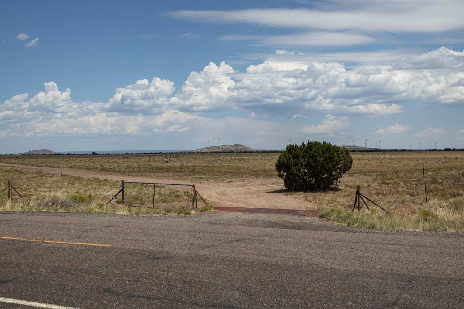
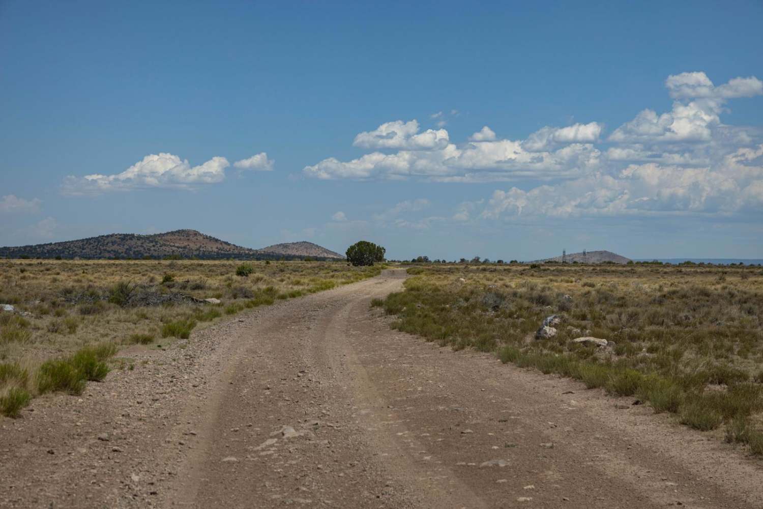
Babbits Checkers is a wide, beautiful, easy trail that cuts across the expansive pastures from Hwy 180 to the Kaibab National Forest. There are no obstacles on this trail, as well as no cell service, so offline maps are recommended. There are sections of rock and mild erosion, so this isn't necessarily a speed run, but the views are pretty amazing. Along this trail, you might see elk, deer, antelope, jackrabbits, and prairie dogs. There are cattle that graze here as well, so keep an eye out.
Photos of Babbits Checkers
Difficulty
This is an unmaintained road that is roughly 1.5 lanes wide. There is slight erosion and some areas of rocks, but nothing that would qualify as an obstacle.
Status Reports
Popular Trails

Buffalo Crossing - Lost Cienega Rd
Mount Union Overlook
FR 211G-Camping
Rockin' Ram Trail - Southern Section
The onX Offroad Difference
onX Offroad combines trail photos, descriptions, difficulty ratings, width restrictions, seasonality, and more in a user-friendly interface. Available on all devices, with offline access and full compatibility with CarPlay and Android Auto. Discover what you’re missing today!
