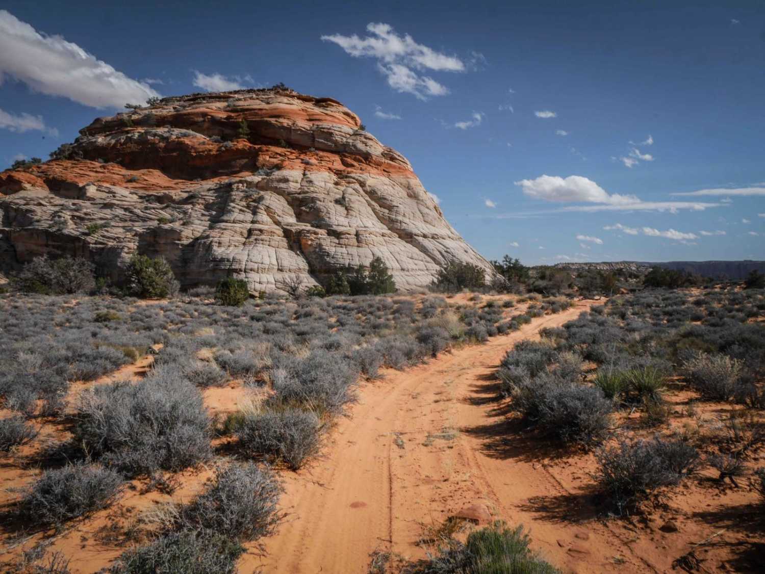
Beehive Rock
Total Miles
2.2
Technical Rating
Best Time
Winter, Fall, Spring
Trail Type
Full-Width Road
Accessible By
Trail Overview
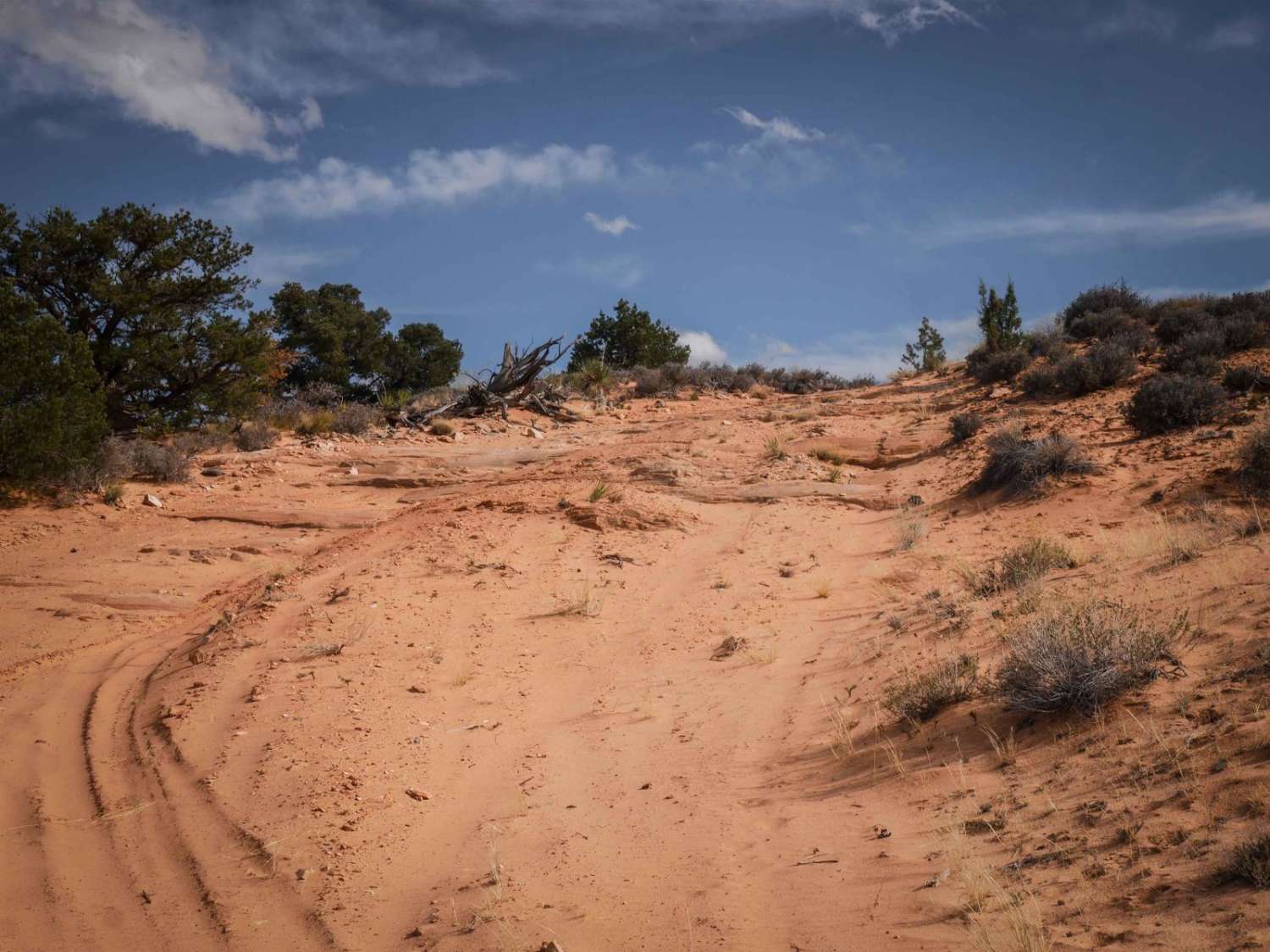
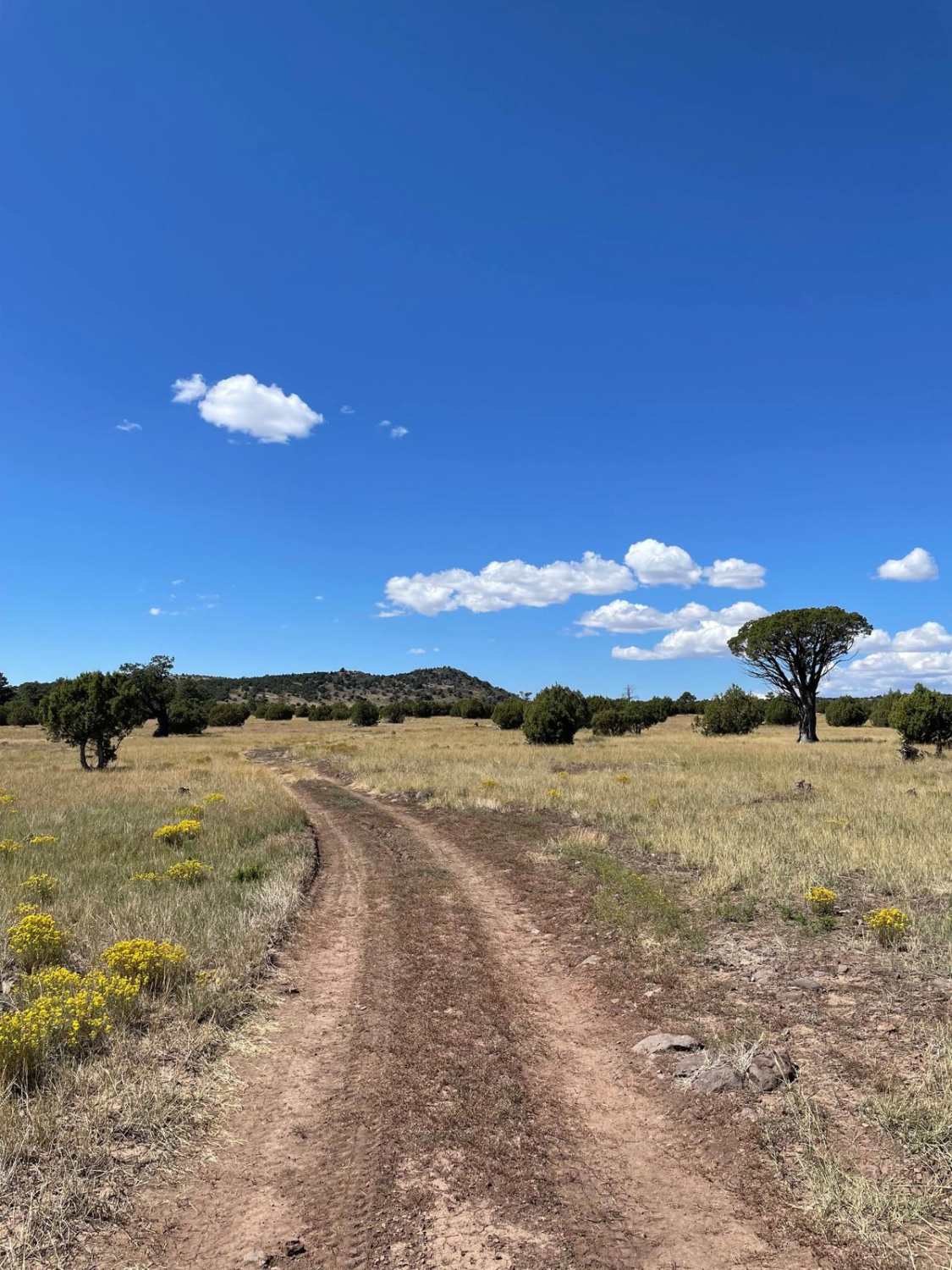
This is a 2.3-mile-long trail that starts on the north end on BLM land and then enters the Vermillion Cliffs National Monument about halfway through. The road is a mix of sand and dirt, and it's not very wide, as it gets narrow between bushes lining the road. The northern half is curvier than the southern portion and goes under powerlines. It dips through washes, with a bit of slab rock in the trail, creating tiny ledges. The southern half is more straight and passes by some scenic cliffs. There are some loose rocks in the road, but no notable obstacles, and it's flat for most of it. It ends on the south end at a big beehive-shaped rock. There's a sign for no vehicles beyond this point, as it is against a wilderness boundary. There's nothing difficult on this trail; it's just another road to explore, but does have pretty neat views.
Photos of Beehive Rock
Difficulty
This is a 2 difficulty due to lots of sections of sand and flat slab rock.
Status Reports

Popular Trails
1621C Ruts and Junipers

Battleground Ridge
The onX Offroad Difference
onX Offroad combines trail photos, descriptions, difficulty ratings, width restrictions, seasonality, and more in a user-friendly interface. Available on all devices, with offline access and full compatibility with CarPlay and Android Auto. Discover what you’re missing today!