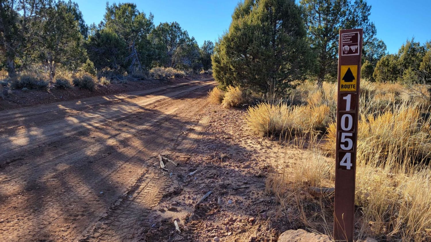
BLM 1054
Total Miles
4.0
Technical Rating
Best Time
Spring, Fall, Winter
Trail Type
High-Clearance 4x4 Trail
Accessible By
Trail Overview
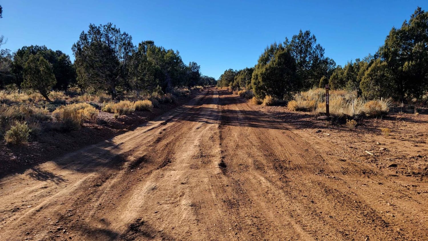
This section of BLM 1054 connects Rattlesnake Canyon Road (BLM 1054) and County Highway 103, in addition to several other trails in the area such as BLM 1071/Last Chance Canyon and Hudson Point Overlook. This route connects to some advanced/expert-level trails--be advised. Trail number markers are present. Beginning off County Highway 103, the trail is wide enough for two vehicles to pass one another. The further you travel, the more narrow it becomes, eventually becoming one vehicle wide as the trees and vegetation hug the trail. Wider vehicles are not recommended if pin-striping is a concern--you will brush. BLM 1054 is rutted almost the entire four miles. It is mild in the beginning, but once you pass the corral and start going up into the hills, the ruts become large and deep in places, hence the higher difficulty rating. Water damage/erosion to the trail is especially noticeable in the hills. It would be highly recommended to avoid this trail when conditions are wet/muddy, as doing so in these conditions only damages the trail further. About two miles in, you will pass a large, active livestock corral and Hidden Lake (livestock watering hole). Be advised that livestock are free-roaming out here and can be on the trail. As a reminder, the Arizona Strip is incredibly remote with no service and hardly any visitors. Summer months will reach triple-digit temperatures and freezing temperatures in the winter months. Be prepared when venturing out here.
Photos of BLM 1054
Difficulty
In the beginning (off County Highway 103) the trail is wide enough for two vehicles to pass one another. The further you travel, the more narrow it becomes, eventually becoming one vehicle wide as the trees and vegetation hug the trail. Wider vehicles are not recommended if pin-striping is a concern; you will brush. BLM 1054 is rutted almost the entire four miles. It is mild in the beginning but once you pass the corral and start going up into the hills, the ruts become large and deep in places, hence the higher difficulty rating.
Status Reports
Popular Trails
Trail 1940

Dead End Canyon
Thomas Point Trail
Saddle Mountain/Dog Saddle
The onX Offroad Difference
onX Offroad combines trail photos, descriptions, difficulty ratings, width restrictions, seasonality, and more in a user-friendly interface. Available on all devices, with offline access and full compatibility with CarPlay and Android Auto. Discover what you’re missing today!
