Saddle Mountain/Dog Saddle
Total Miles
12.5
Technical Rating
Best Time
Spring, Summer, Fall
Trail Type
Full-Width Road
Accessible By
Trail Overview
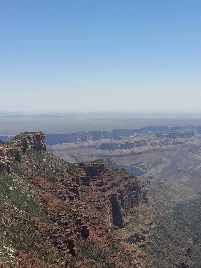
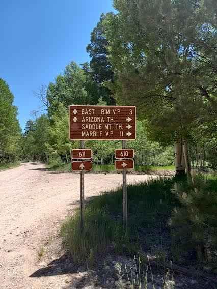
This is a gravel class 2 trail that starts as large enough for two vehicles and as you continue narrows to one vehicle length. The route remains fairly flat with left and right turns. While making your way out to Saddle Mountain the trailhead to Arizona will be on the right with vaulted toilets. The route continues along the edge of the Grand Canyon National Park boundaries. When approaching the end of the trail there will be dispersed camping spots that sit on the edge of the canyon. Saddle Mountain trailhead will begin at the turnaround. Marvelous views that go for miles and are not very crowded. This route is an out-and-back.
Photos of Saddle Mountain/Dog Saddle
Difficulty
A fairly flat gravel route rated as a class 2 that begins as a wide route and then narrows as it proceeds further to the trail head of Saddle Mountain.
Status Reports
Saddle Mountain/Dog Saddle can be accessed by the following ride types:
- High-Clearance 4x4
- SUV
- SxS (60")
- ATV (50")
- Dirt Bike
Saddle Mountain/Dog Saddle Map
Popular Trails

Scratchy Scratch

Rock Rodeo Hill

Electric Speedbump
The onX Offroad Difference
onX Offroad combines trail photos, descriptions, difficulty ratings, width restrictions, seasonality, and more in a user-friendly interface. Available on all devices, with offline access and full compatibility with CarPlay and Android Auto. Discover what you’re missing today!


