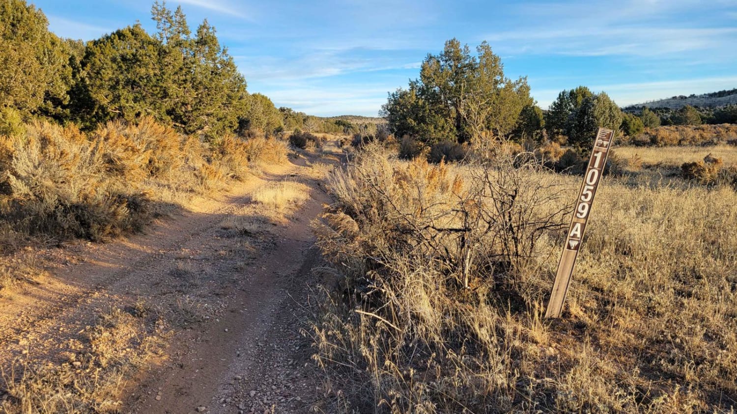
BLM 1059a
Total Miles
4.5
Elevation
1,653.38 ft
Duration
0.75 Hours
Technical Rating
Best Time
Spring, Fall, Winter
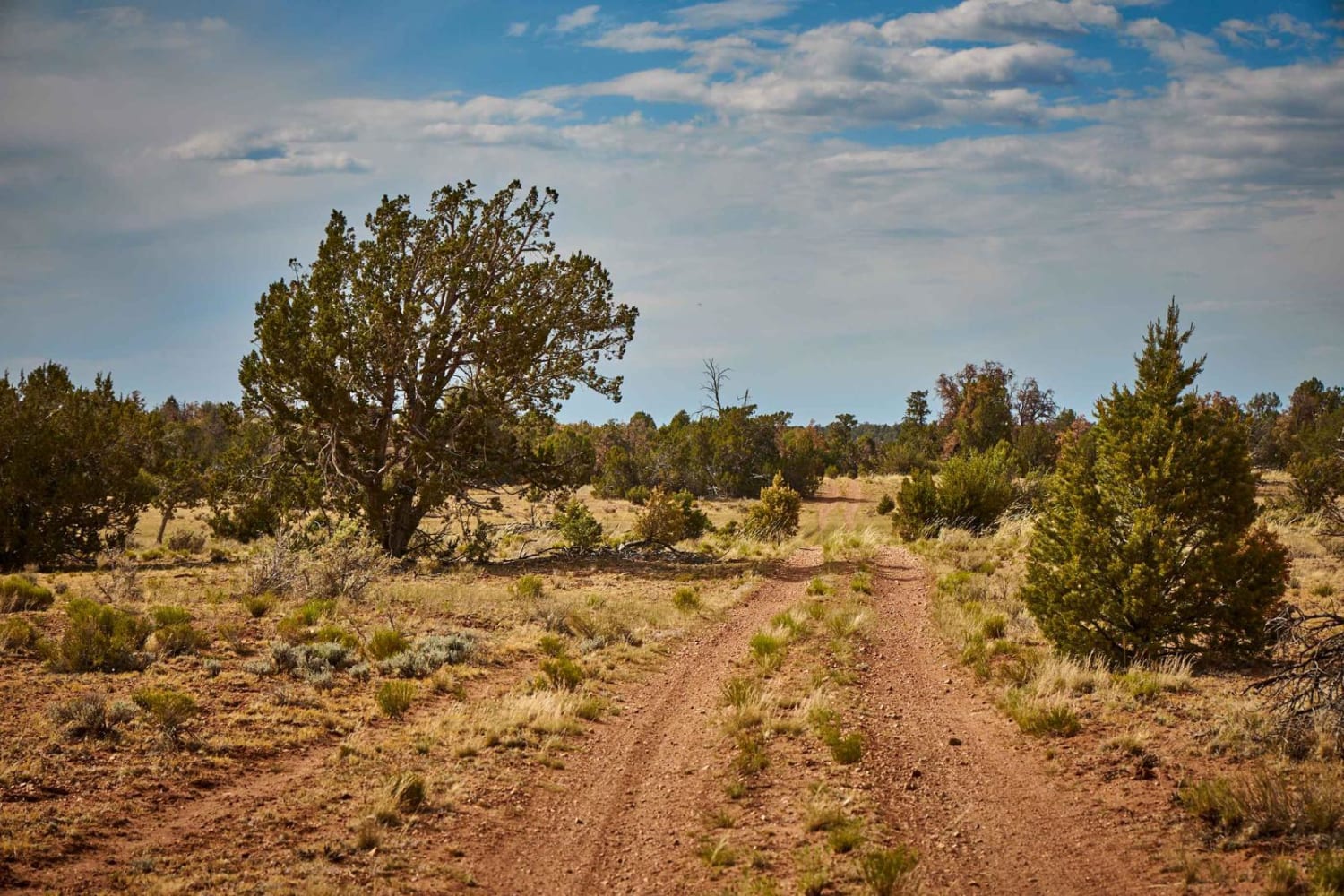
Trail Overview
BLM 1059a is a 4.5-mile connecting trail from Shoebuckle Road (1059) to Sullivan Draw Road (1054). It is a narrow two-track trail that has some ruts, rocks, and tighter turns that make for a fun, short ride. Due to overgrown trees, this trail would not be recommended for full-size vehicles (although legally they can be on this trail)--unless you don't mind new pinstriping. Even SXSs may be brushed by vegetation. The trail weaves in and out between fields, grasslands, and tree-dense sections. The Arizona Strip is incredibly remote with no service and hardly any visitors. Summer months will reach triple-digit temperatures and freezing temperatures in the winter months. Be prepared when venturing out here.
Photos of BLM 1059a

Difficulty
It is a narrow two-track trail that has some ruts, rocks, and tighter turns that make for a fun, short ride. Due to overgrown trees, this trail would not be recommended for full-size vehicles (although legally they can be on this trail), unless you don't mind new pinstriping. Even SXSs may be brushed by vegetation.
Status Reports
Popular Trails

Dry Gulch Trail
North Vulture Peak Road
The onX Offroad Difference
onX Offroad combines trail photos, descriptions, difficulty ratings, width restrictions, seasonality, and more in a user-friendly interface. Available on all devices, with offline access and full compatibility with CarPlay and Android Auto. Discover what you’re missing today!