BLM AZ 065
Total Miles
5.8
Elevation
387.73 ft
Duration
0.75 Hours
Technical Rating
Best Time
Spring, Fall, Winter
Trail Overview
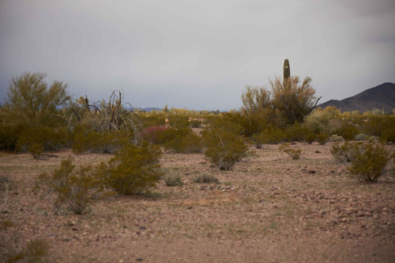
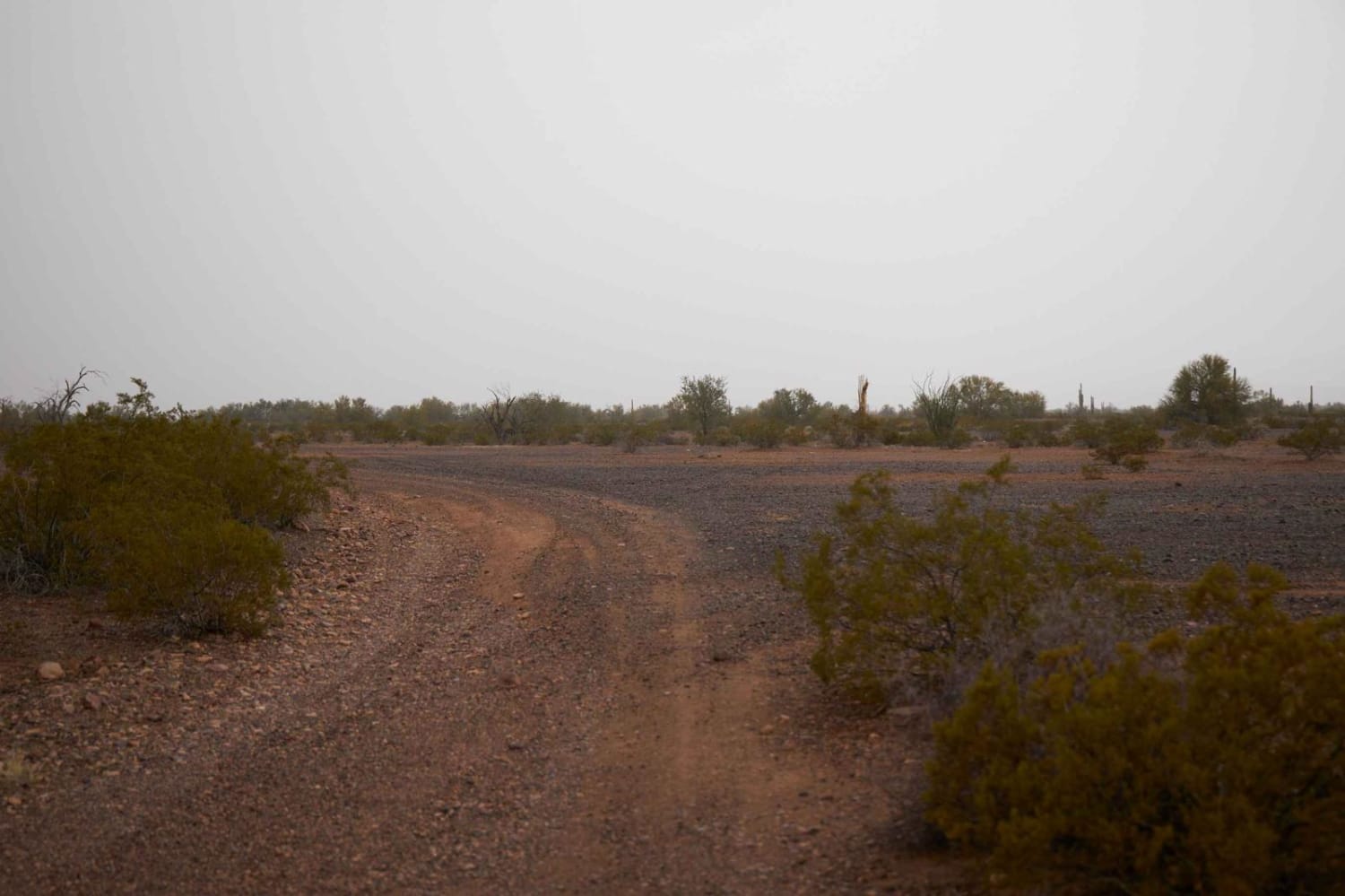
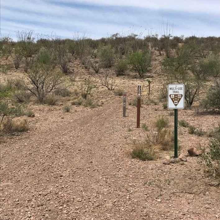
You'll want the downloaded offline maps to run BLM AZ 065, as it's way out and has spotty cell service. Relatively easy and flat, this rocky two-track is lined with Creosote and cactus, as are many of the trails in this area of Arizona. There's some dispersed camping, with large, level, rocky sites and primitive fire rings made from the larger rocks laying about. Long and flat, there's not much to this trail, with a couple of mellow wash crossings, and some sneaky rocks that might pop up if one were distracted by the raw beauty of this part of the desert. At its terminus, you'll find the Yuma Proving Ground (YPG), a United States Army series of environmentally specific test centers that conducts tests on nearly every weapon in the ground combat arsenal. Because of this, you might hear their rumblings echoing through the mountains of far-of explosions. Mining claims and wildlife water exist in the area, so caution is advised, and tread lightly principles are encouraged in this fragile desert environment.
Photos of BLM AZ 065
Difficulty
Dirt or rocky road, typically unmaintained after rain or snow.
Status Reports
Popular Trails
Old Road 2741
The onX Offroad Difference
onX Offroad combines trail photos, descriptions, difficulty ratings, width restrictions, seasonality, and more in a user-friendly interface. Available on all devices, with offline access and full compatibility with CarPlay and Android Auto. Discover what you’re missing today!
