Cave View
Total Miles
1.2
Technical Rating
Best Time
Winter, Fall, Spring
Trail Type
Full-Width Road
Accessible By
Trail Overview
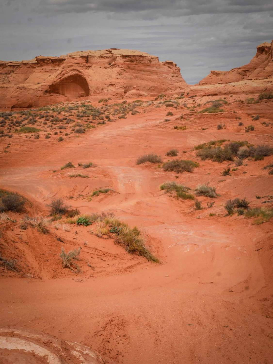
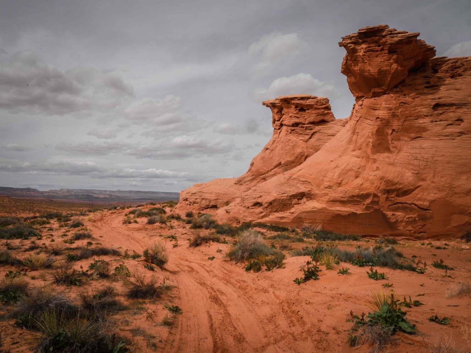
This short sandy trail goes through City of Page land in a red sandy desert, right next to huge sandstone mesas and pink cliffs with cool views. The north end starts on a powerline road, and it goes south for 1.2 miles to the border with the Navajo Reservation. The track is elevated above a ravine between the road and cliffs. It's a super scenic little route. There's some rock slab in the surface of the trail that makes it a bit more difficult because it creates 12-inch-tall small rock ledges on the hills. There are a few steeper hills on the slab rock as well, and sandy hill climbs. There's a huge cave on one of the mesas towards the north end that is a cool sight--you can get out and walk to check it out closer.
Photos of Cave View
Difficulty
This is a 3 difficulty for small rock ledges that are up to a foot tall and sandy hill climbs.
Status Reports
Popular Trails

Kentucky Gulch - FR 163
Morgan Tank
Lower Challenging Red Raven
Jacob Lake Burn Piles
The onX Offroad Difference
onX Offroad combines trail photos, descriptions, difficulty ratings, width restrictions, seasonality, and more in a user-friendly interface. Available on all devices, with offline access and full compatibility with CarPlay and Android Auto. Discover what you’re missing today!
