Kentucky Gulch - FR 163
Total Miles
6.6
Technical Rating
Best Time
Spring, Summer, Winter, Fall
Trail Type
Full-Width Road
Accessible By
Trail Overview
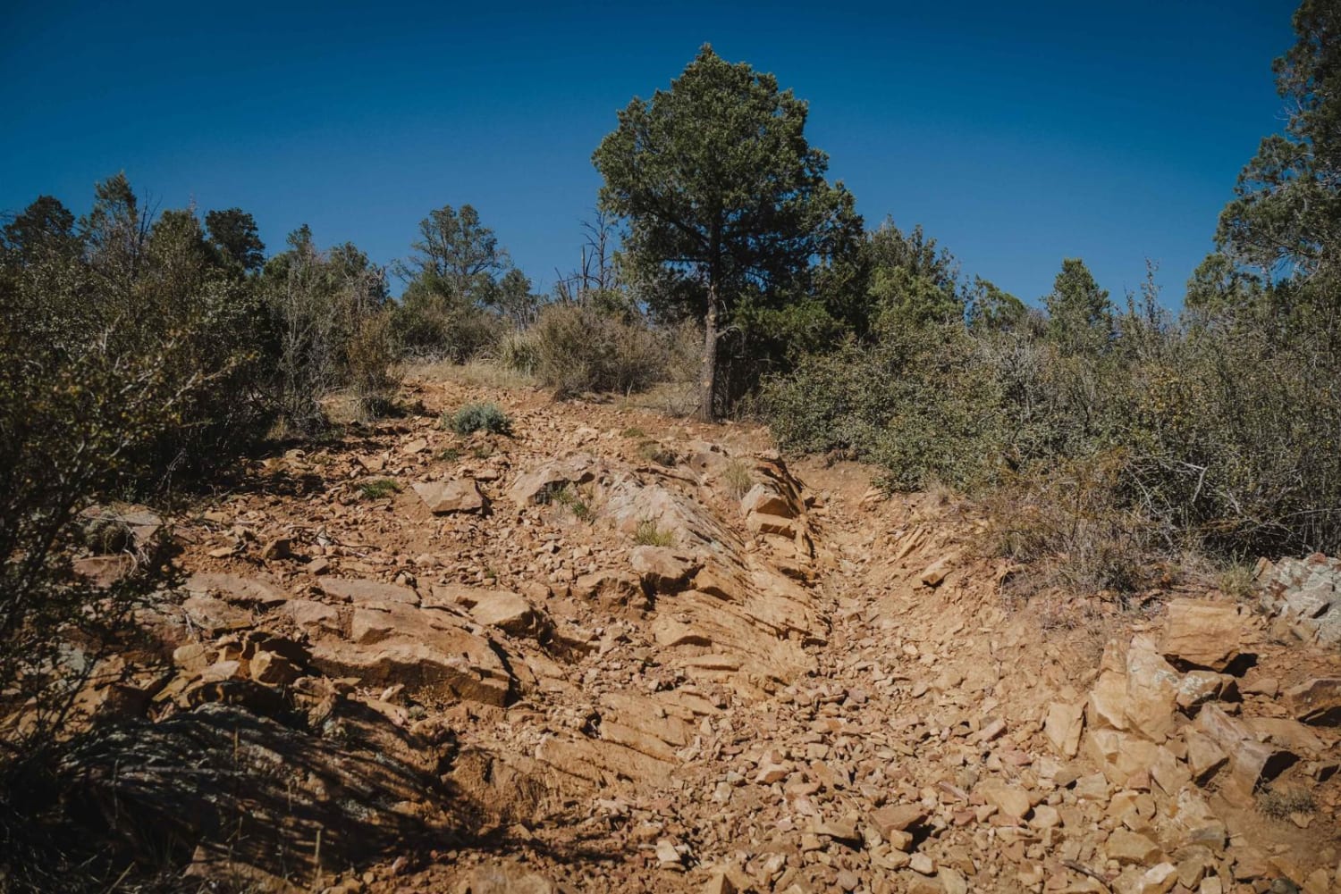
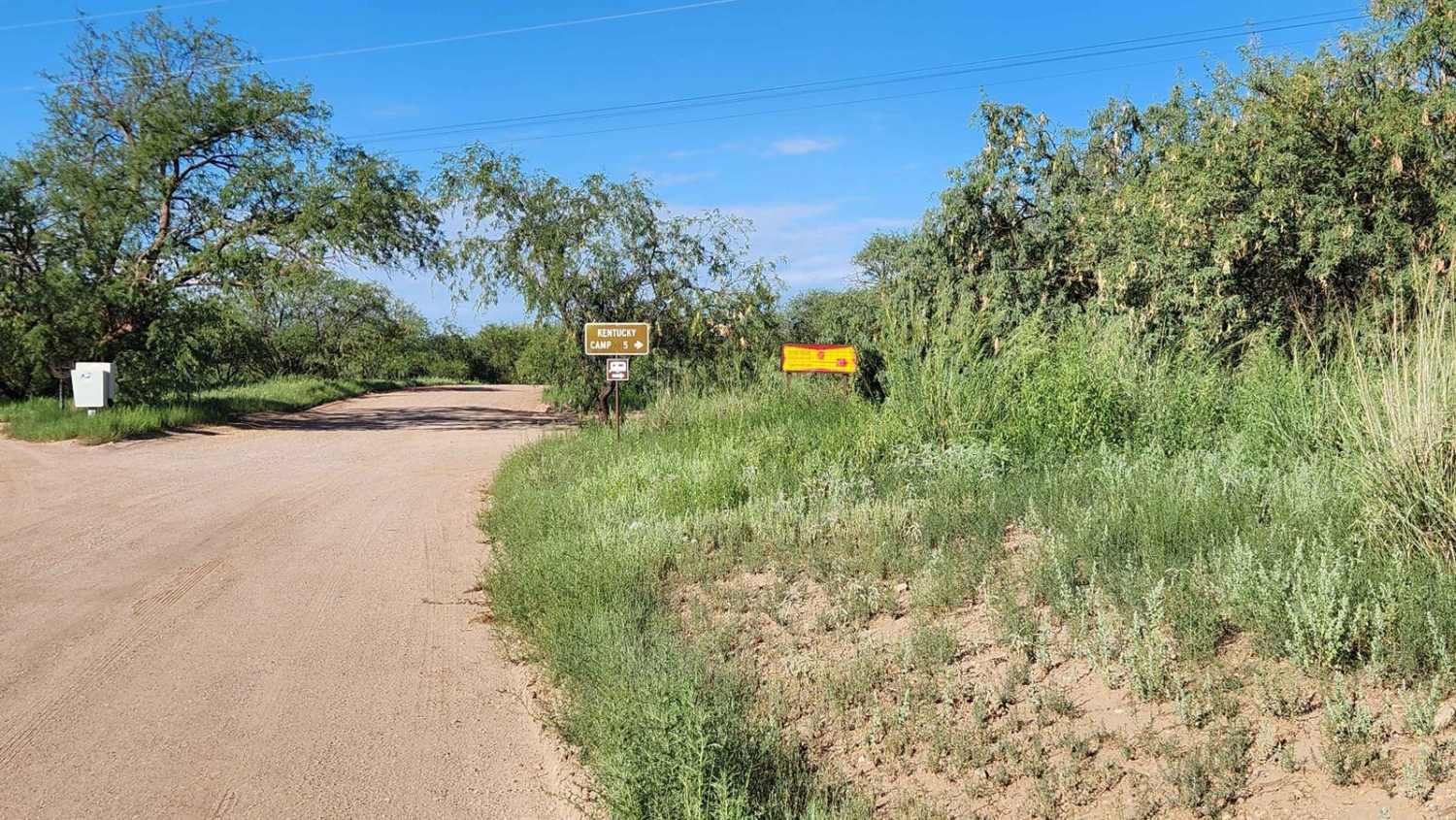
Kentucky Gulch provides a gentle ascent through undulating hill terrain, with the trail meandering amidst grassy hills dotted with oak, juniper, agave, and other distinctive plant species. Be sure to check the weather conditions before heading out, as rain or snow could affect the road. Traveling on back roads can be risky, so always be mindful of weather and road conditions. Carry plenty of water, never travel alone, and inform someone of your plans. Since cell service is unreliable, it's a good idea to download your map before your trip. The time to complete the trail and its difficulty depends on various factors, including the type of vehicle used and the riders' capabilities.
Photos of Kentucky Gulch - FR 163
Difficulty
Even though there are some rough and bumpy areas with steep descents and climbs, 4WD is likely not necessary. A vehicle with decent clearance should handle the main trail just fine. However, be sure to check the weather conditions before heading out, as rain or snow could affect the road.
History
Kentucky Camp is a historic site located in the Santa Rita Mountains of Southern Arizona. It was originally established in the early 1900s as a headquarters for a large-scale hydraulic gold mining operation. Although the mining venture didn't pan out as expected, the site has been preserved and offers a glimpse into the past. The camp consists of five adobe buildings: the ranch headquarters, an assay office, the remains of an old barn, and two cabins -- one of the cabins can be rented through the "Rooms With a View" program. Today, Kentucky Camp is part of the Coronado National Forest and is accessible to visitors. You can explore several restored buildings, including the camp's main headquarters, a cabin, and other structures. The site also features interpretive signs that provide historical context and information about the mining operations and life in the camp during its heyday. It's a great spot for history buffs and outdoor enthusiasts alike, offering a mix of historical exploration and beautiful natural surroundings.
Status Reports
Kentucky Gulch - FR 163 can be accessed by the following ride types:
- High-Clearance 4x4
- SUV
- SxS (60")
- ATV (50")
- Dirt Bike
Kentucky Gulch - FR 163 Map
Popular Trails

The Narrows

North Canyon Wash (612a)

Trail 2117 - Tonto National Forest - Desert Vista OHV Area

Charcoal Gulch
The onX Offroad Difference
onX Offroad combines trail photos, descriptions, difficulty ratings, width restrictions, seasonality, and more in a user-friendly interface. Available on all devices, with offline access and full compatibility with CarPlay and Android Auto. Discover what you’re missing today!

