Cinder Hills OHV Area 777
Total Miles
6.3
Technical Rating
Best Time
Spring, Summer, Fall
Trail Type
Full-Width Road
Accessible By
Trail Overview
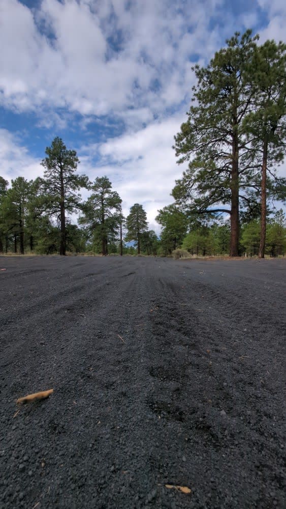
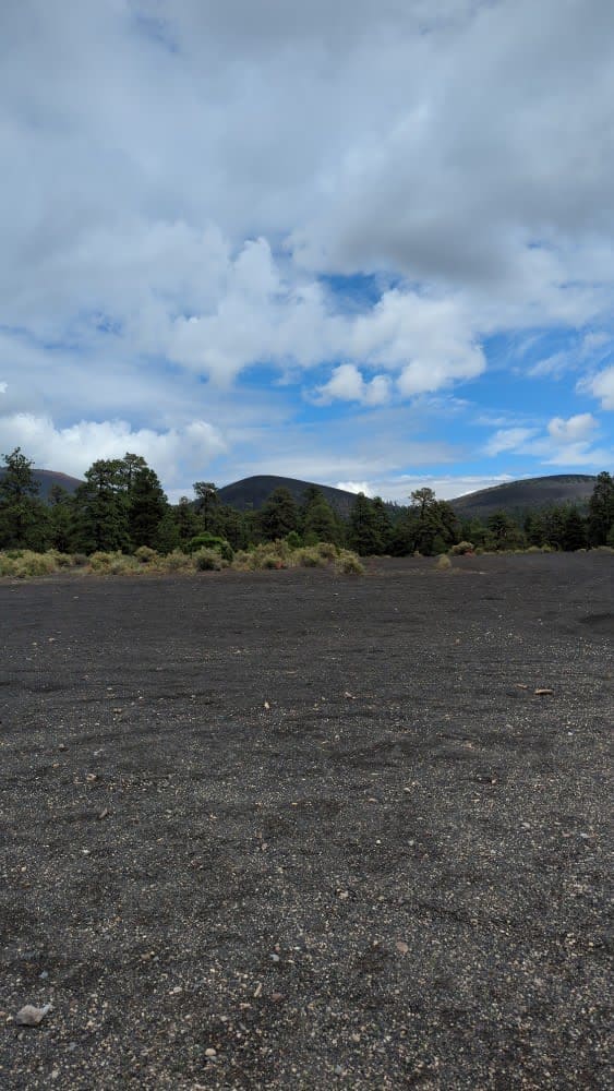
This full-width, gently rolling, whoops-filled, cinder track winds between cinder cones and through the heart of Cinder Hills OHV. Aside from a sign at either end with mileage to Cinder Lake and the 776 intersections, there is no signage designating the official 777 route. Because this is an open riding area, the route is criss-crossed with tracks going everywhere. However, 777 remains obvious as the most traveled path until you arrive at Cinder Lake, where the trail becomes a beeline across the open lake. The cinders look soft, but the base below the surface fluff is solid. 777 is technically open to on-highway vehicles only, but because this is an open riding area, you can take anything with wheels just off of the official 777 route to follow this trail. There is camping on either end of the route suitable for everything up to tag axle diesel pusher motorhomes. Scout first before taking your heavy trailers too far from 776.
Photos of Cinder Hills OHV Area 777
Difficulty
There are no steep grades on this trail. Because this is an open riding area, whoops and ruts can be easily bypassed. The cinder base provides excellent traction and, in the deepest areas, only fluffs up less than 6 inches deep.
History
This OHV area butts up against the southern edge of the Sunset Crater Volcano National Monument property. There is no access to the Monument property due to fencing and locked gates where trails meet Highway 395.
Status Reports
Cinder Hills OHV Area 777 can be accessed by the following ride types:
- High-Clearance 4x4
- SUV
- SxS (60")
- ATV (50")
- Dirt Bike
Cinder Hills OHV Area 777 Map
Popular Trails

Tuff's Trail
Salida Connection

175 - Hotshock Blast
The onX Offroad Difference
onX Offroad combines trail photos, descriptions, difficulty ratings, width restrictions, seasonality, and more in a user-friendly interface. Available on all devices, with offline access and full compatibility with CarPlay and Android Auto. Discover what you’re missing today!
