Clark Airport Connector
Total Miles
5.9
Elevation
2,054.84 ft
Duration
0.5 Hours
Technical Rating
Best Time
Spring, Summer, Fall
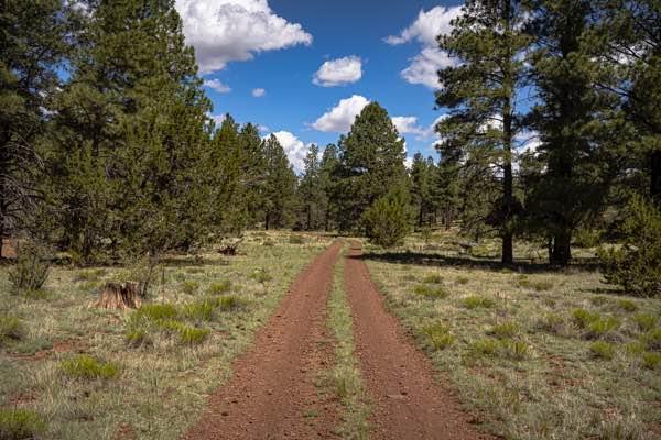
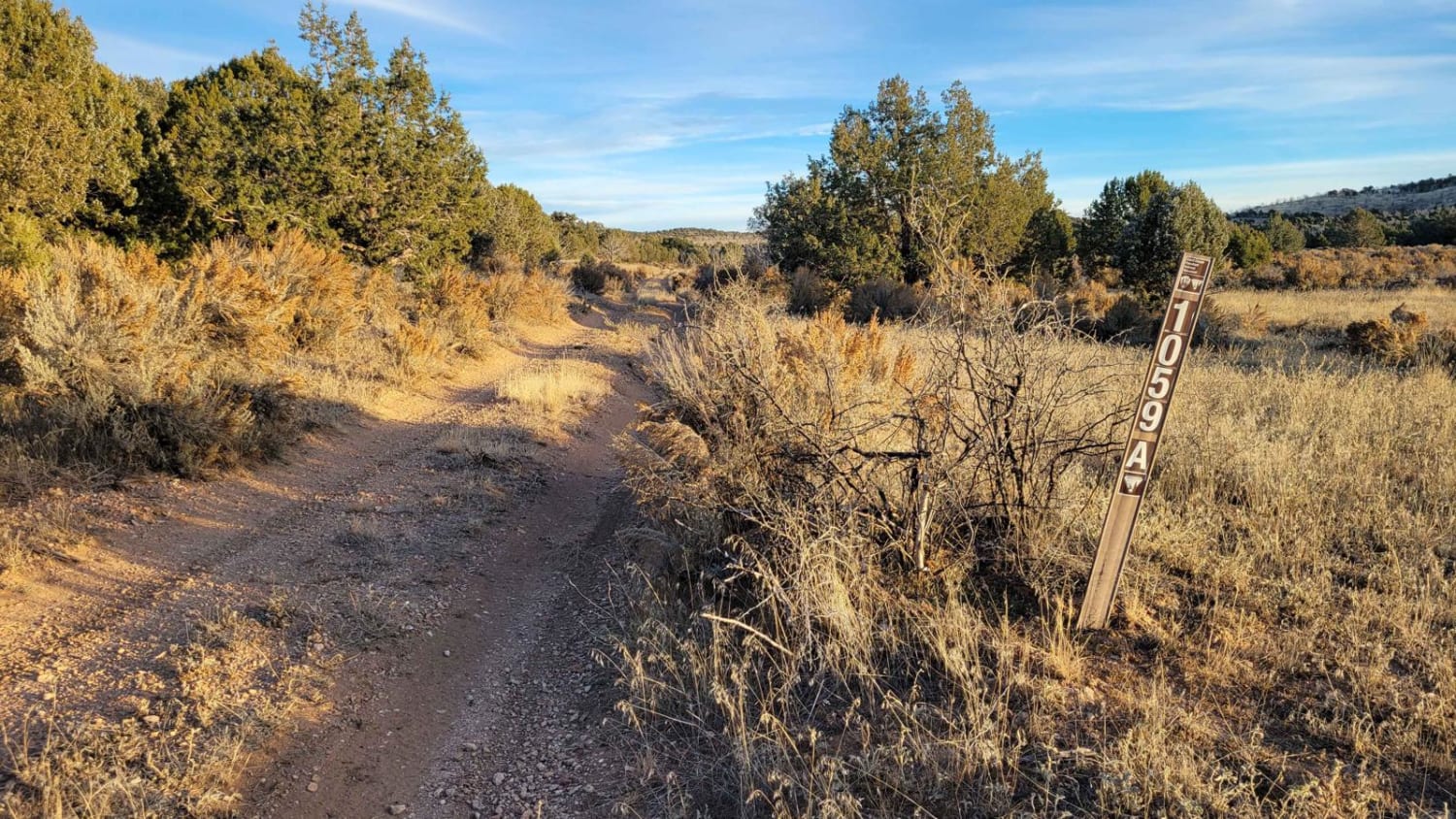
Trail Overview
This trail is a connector trail, and travels from the airport in Williams, AZ to the Kaibab National Forest to the East. The Western side of this trail is mostly two lanes wide of red rock and crushed cinders that are native to this area and used for roads and driveways. As you proceed East, the trail, (specifically on the East side of Hwy 64) goes down to one lane, and becomes quite rockier. There are no obstacles on this trail, other than some sneaky rocks and erosion damage. There is some cell service, but it's spotty at best, so offline maps are recommended.
Photos of Clark Airport Connector

Difficulty
This is an unmaintained trail that is one lane wide on the Eastern section. There are places to pass and turn around. It is a connector trail, with the Eastern edge providing access to the Kaibab National Forest system, which has an array of extensive trails in the area.
Status Reports
Popular Trails
Havasu Heights to Stagecoach Ranch Trails

The onX Offroad Difference
onX Offroad combines trail photos, descriptions, difficulty ratings, width restrictions, seasonality, and more in a user-friendly interface. Available on all devices, with offline access and full compatibility with CarPlay and Android Auto. Discover what you’re missing today!