Cow Tracks
Total Miles
5.3
Technical Rating
Best Time
Fall, Winter, Spring
Trail Type
High-Clearance 4x4 Trail
Accessible By
Trail Overview
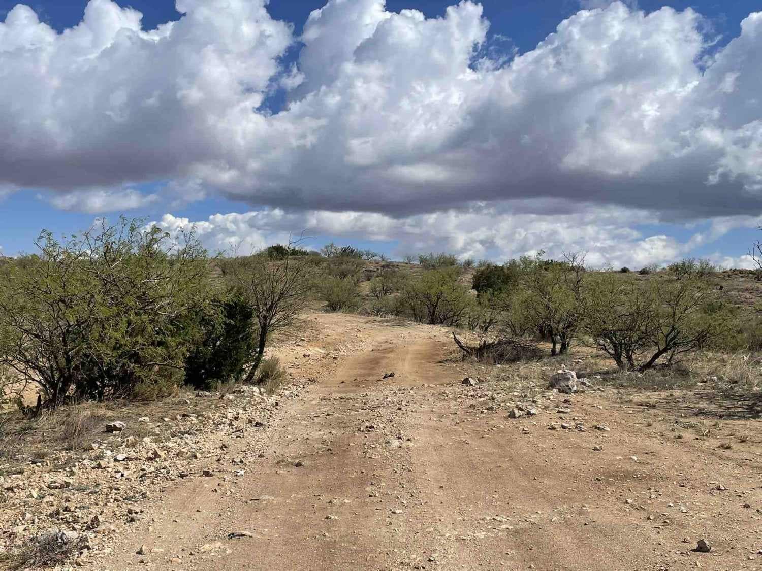
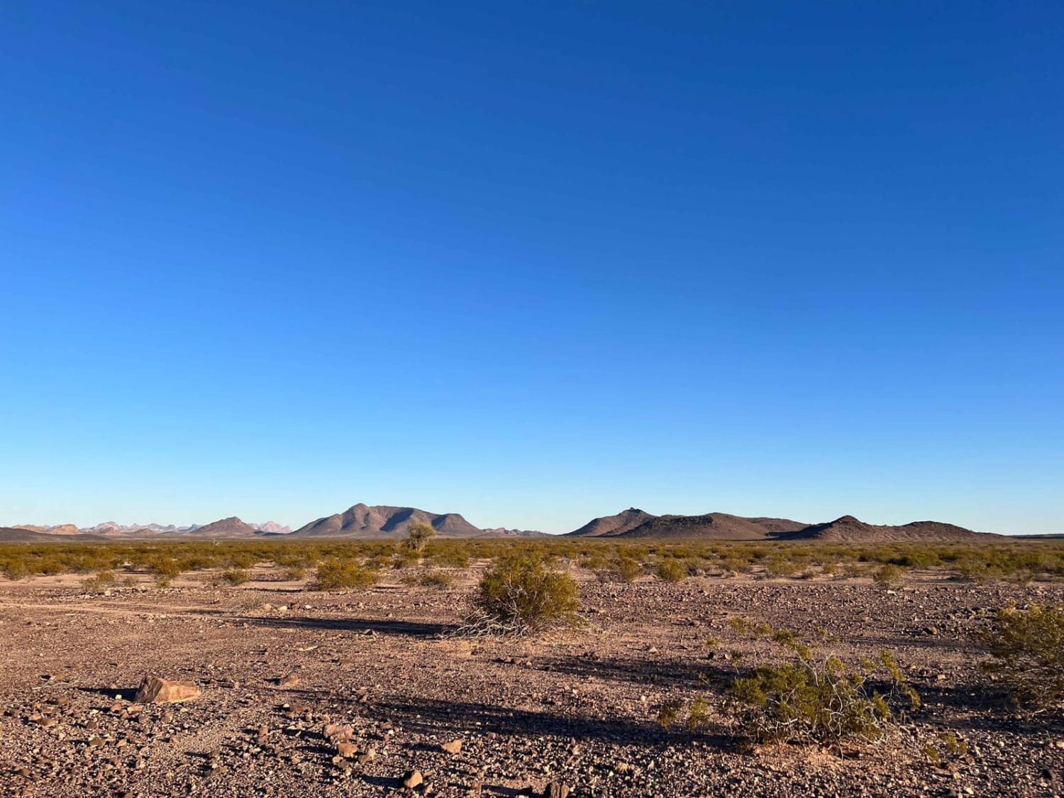
The cows know where to go. This trail is generally clear where to go, but there are some sections where serious braiding happens, and people have just driven wherever they want across the desert. Do your best to stick to the most developed tracks in order to help the desert heal. The easy way to do this is if the tracks are in a narrow wash. That's the route. Keep your eye out for the well-established cow tracks that lead from the open desert to the corral near the trail's end. There are a few nice dispersed camping spots with excellent views. Especially down the one-side trail around the halfway mark. Some sections of the route are narrow, with creosote and mesquite trees happily removing a layer of clear coat. Another section travels in the sandy wash making for more difficult progress. Two narrow bushy sections with deep holes may be impassable when wet. The rest of the trail is flat and easy. Two bars of LTE Verizon service fade in and out. Be sure to keep your eyes peeled for some of the fascinating military aircraft that train in the area.
Photos of Cow Tracks
Difficulty
Narrow sections and some deeper holes and washouts. The trail travels in the wash for sections at a time.
Status Reports
Cow Tracks can be accessed by the following ride types:
- High-Clearance 4x4
- SxS (60")
- ATV (50")
- Dirt Bike
Cow Tracks Map
Popular Trails

Painted Rock Road

Chiva Loop - Forest Road 4417
The onX Offroad Difference
onX Offroad combines trail photos, descriptions, difficulty ratings, width restrictions, seasonality, and more in a user-friendly interface. Available on all devices, with offline access and full compatibility with CarPlay and Android Auto. Discover what you’re missing today!


