Coyote Wash West
Total Miles
1.9
Elevation
580.04 ft
Duration
0.5 Hours
Technical Rating
Best Time
Winter, Fall, Spring
Trail Overview
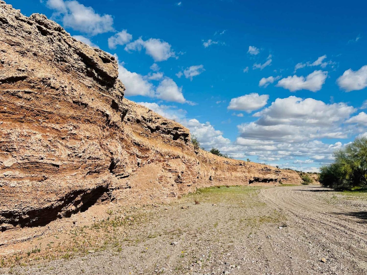
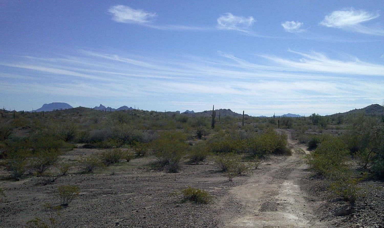
Caution: the Coyote Wash has several sections where fencing has been put up across the entire wash. These could be very hard to see at night or when approaching at fast speeds. This area is open range for cattle, and ranchers have been able to fence off areas of this wash. A few different trails intersect with the Coyote Wash, making it a fun and accessible area to explore. This trail is the shorter west section of the wash. There is a nice dispersed campsite in a flat area of the wash. Take caution during the monsoon season or when there are storms. This trail gets narrower the further up the wash it goes. There are some rocky sections here and there to slow down for and drive over or around. There is one larger boulder that creates a narrow squeeze point in the wash. It would be a challenge for oversized vehicles. High centering may happen with a longer wheelbase. The trail eventually turns up out of the wash, heading up a steep, narrow hill. From there, it runs along the ridge above Coyote Wash until it connects to the Saguaro Arm Valley Trail. The section of trail that runs along the ridgeline is very overgrown with desert trees and bushes. There are a few steep rocky transitions as well. There is one bar of intermittent AT&T cell service. This area gets extremely hot in the summertime. Bring plenty of extra water and supplies if traveling during the summer months. There are some trees in the wash and areas where you can find shade when it is hot. This area is very popular with SXSs.
Photos of Coyote Wash West
Difficulty
The hill to get into and out of the wash is narrow and steep, with a turn midway up. It runs very close to the edge. The ridge is very narrow and overgrown with desert plants that will scratch paint on larger vehicles. The wash consists of deep, soft sand. Some sections in the wash have rocks to navigate around or over.
Status Reports
Popular Trails
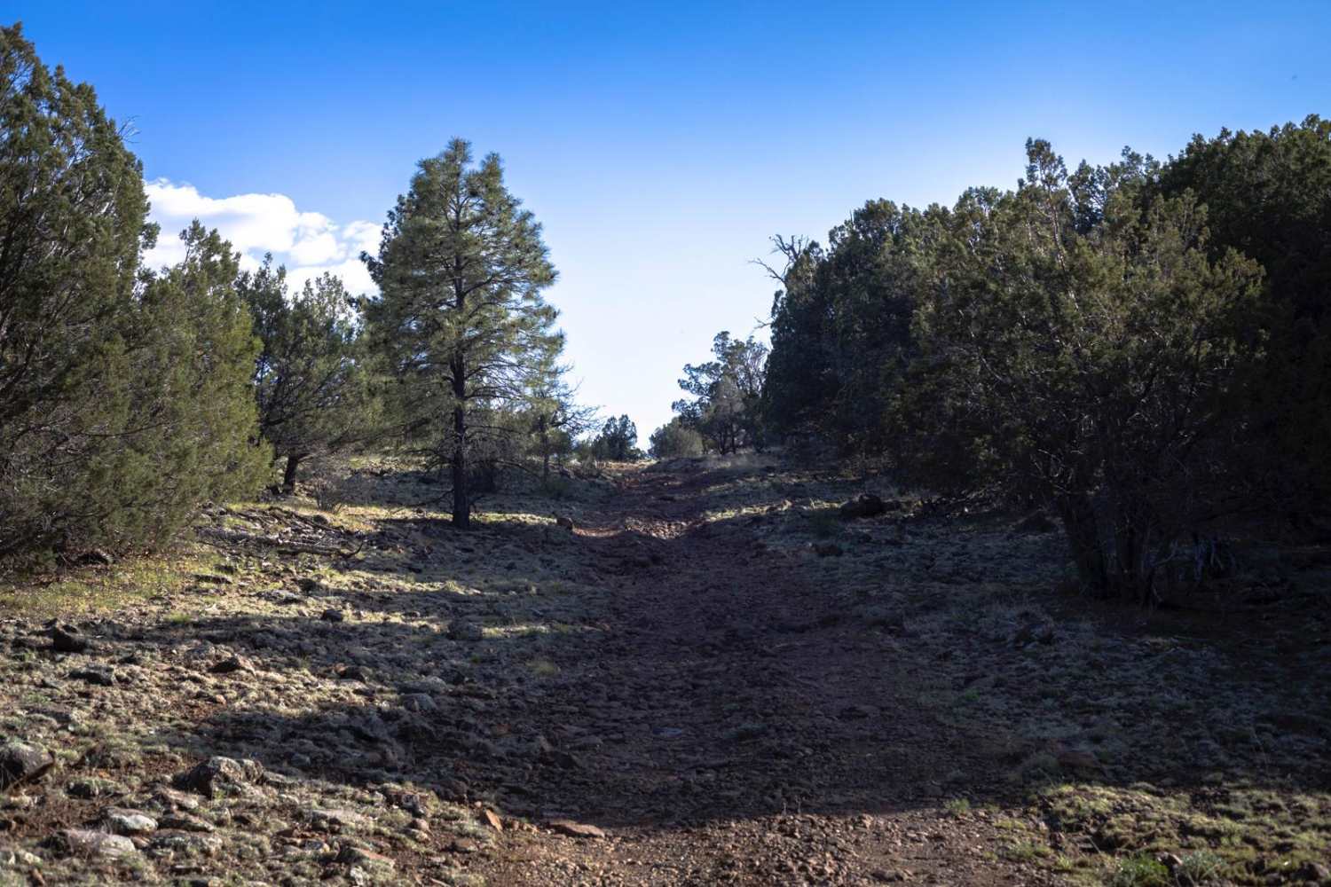
Robbins Way Down
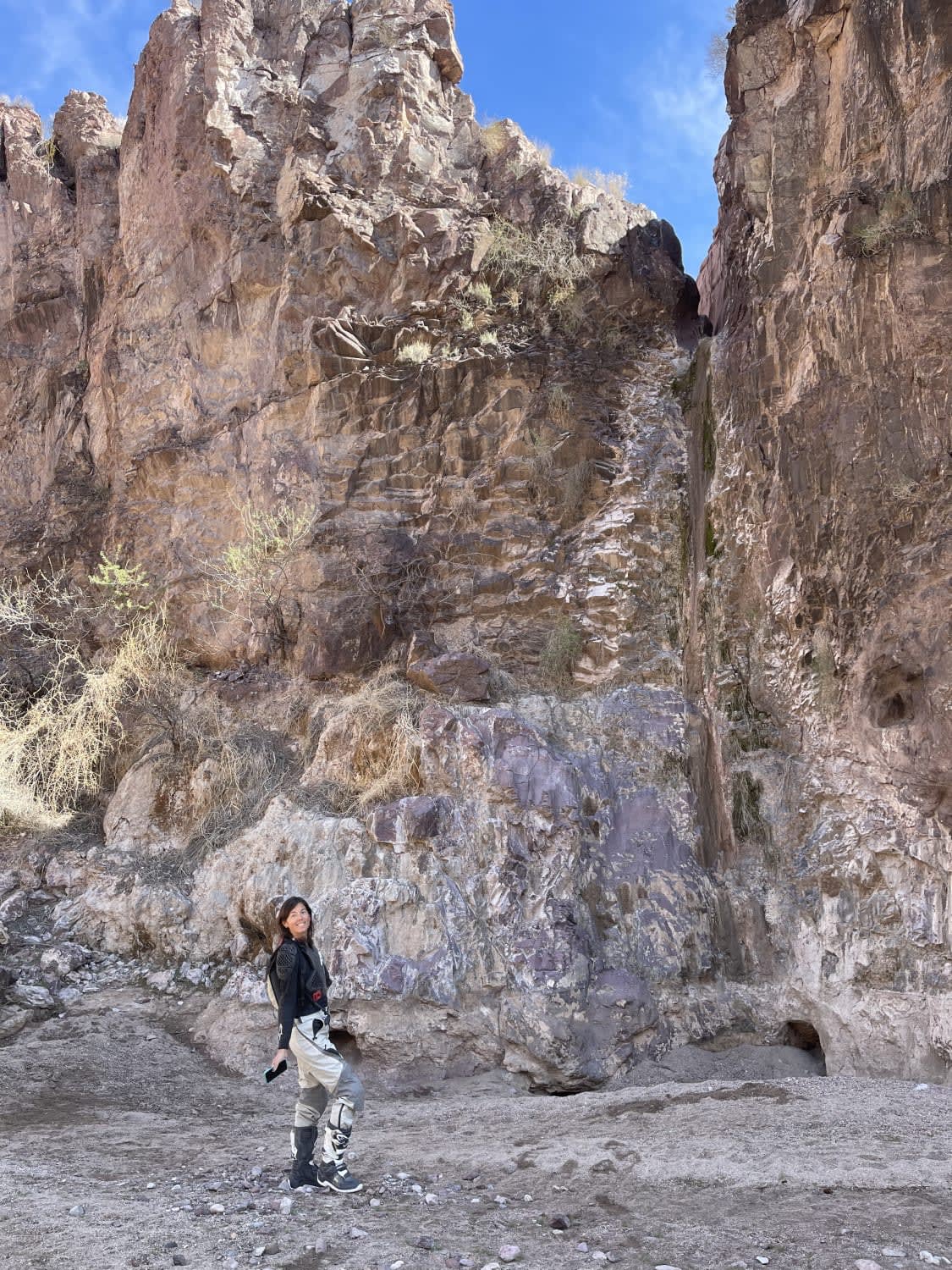
Tres Amigos Waterfall/Spring
Powerline Road (South) - 2
The onX Offroad Difference
onX Offroad combines trail photos, descriptions, difficulty ratings, width restrictions, seasonality, and more in a user-friendly interface. Available on all devices, with offline access and full compatibility with CarPlay and Android Auto. Discover what you’re missing today!

