Davenport 66
Total Miles
2.7
Technical Rating
Best Time
Spring, Summer, Fall
Trail Type
Full-Width Road
Accessible By
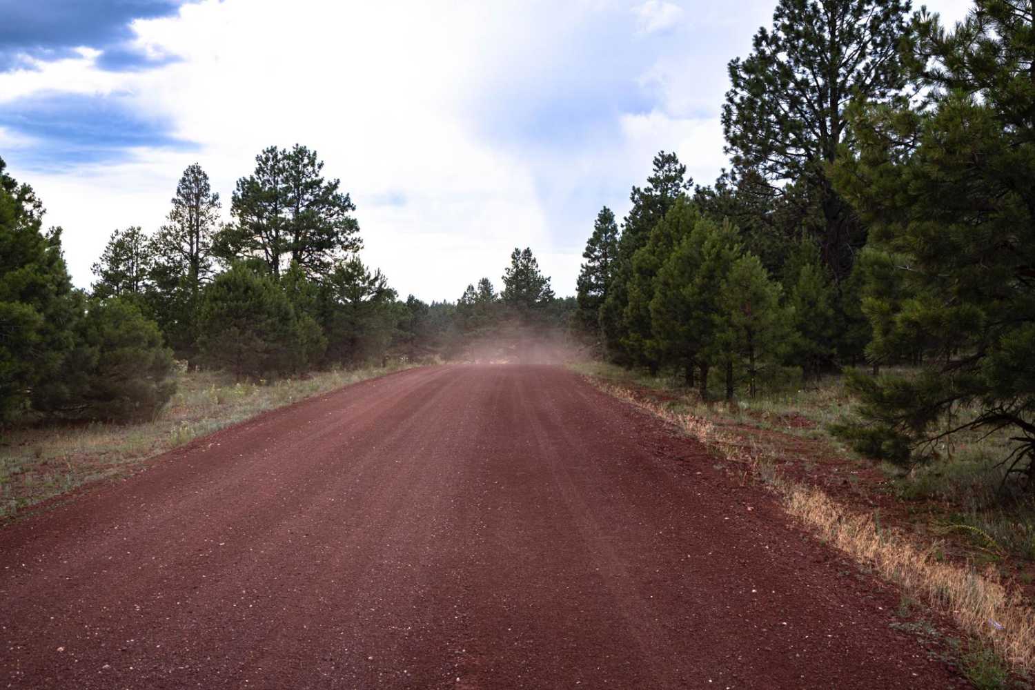
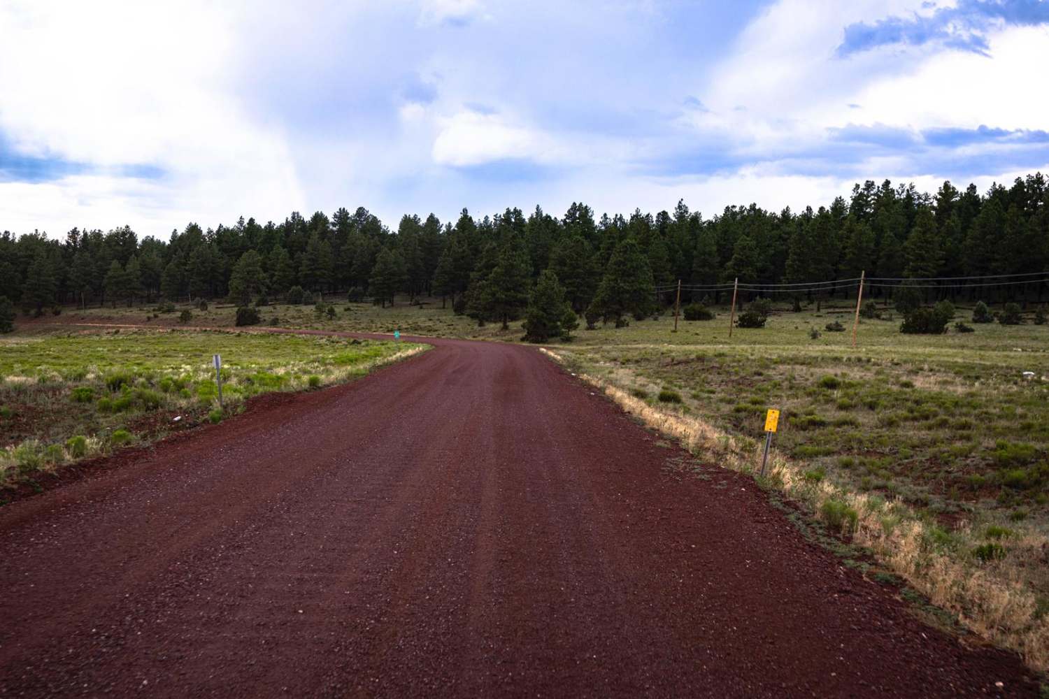
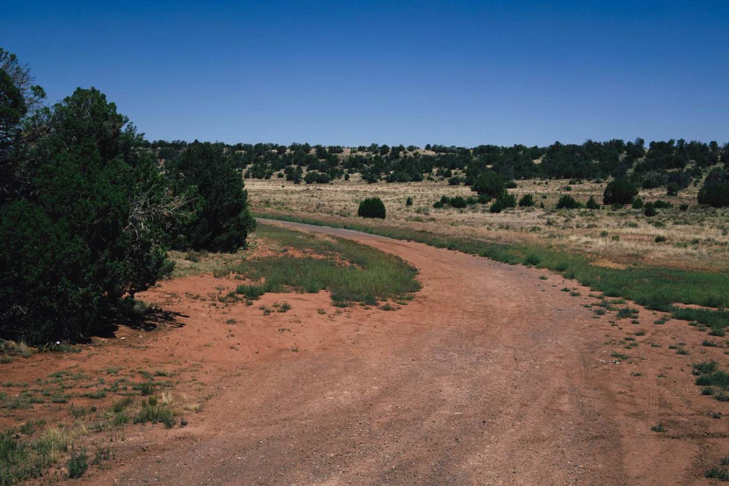
Trail Overview
This is a beautiful, easy trail that was once a section of the original Route 66. It is now part of the Great Western Trail, an extensive system of roads, both paved and unpaved throughout this area of Arizona. Livestock graze in the area, and there is signage to keep gates closed. This section of trail is an easy, well-maintained dirt road. The trail runs West toward Williams, AZ. This trail is well traveled by locals and those wishing to skip the hustle of I-40, a major highway that runs nearby. Toward the end of this section, there is an on-ramp to the highway, as well as a split into the national forest, acting as a gateway to the area.
Photos of Davenport 66
Difficulty
This is a maintained and well-traveled trail that goes in and out of civilization, as well as pavement. There are no obstacles on this trail, but some corners may have washboarding.
Status Reports

Popular Trails

The Giant Triangle
The onX Offroad Difference
onX Offroad combines trail photos, descriptions, difficulty ratings, width restrictions, seasonality, and more in a user-friendly interface. Available on all devices, with offline access and full compatibility with CarPlay and Android Auto. Discover what you’re missing today!