Conger Water
Total Miles
6.3
Technical Rating
Best Time
Spring, Summer, Fall
Trail Type
Full-Width Road
Accessible By
Trail Overview
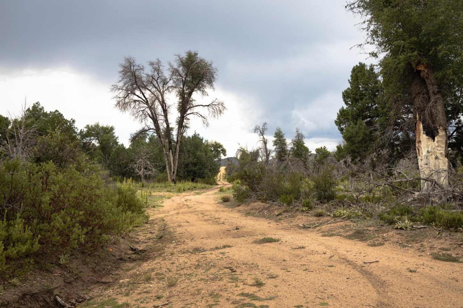
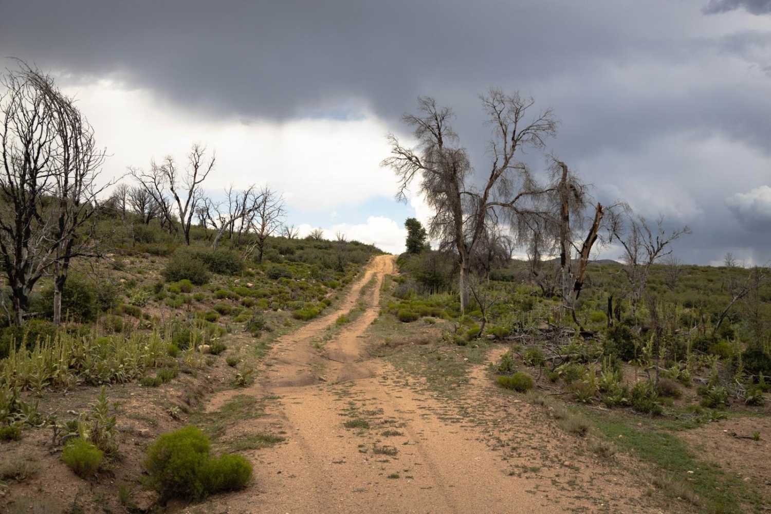
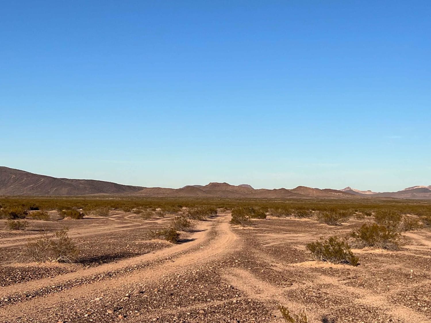
Conger Water is a rocky trail, with erosion and water damage throughout. There are numerous wash crossings on this trail, as well as sections of shelf road, rock gardens, and off camber wash crossings with steep entrances and exits. There are no major obstacles on this trail, though it is important to note that these conditions may change or be exacerbated by the monsoon rains or heavy moisture events. Along this trail you might see deer, as well as numerous types of birdlife. There are sections where this trail goes through boulder-field type terrain, so it's no surprise to see sporadic rocks in the trail, as well as snakes and other predatory wildlife. There is no cell service along this trail so offline maps are recommended.
Photos of Conger Water
Difficulty
This is an unmaintained trail that has water and erosion damage. There are numerous wash crossings as well as some rocky sections that might become hazardous if monsoon conditions or heavy rains exist.
Status Reports
Popular Trails

Big Reef Mill Singletrack
The onX Offroad Difference
onX Offroad combines trail photos, descriptions, difficulty ratings, width restrictions, seasonality, and more in a user-friendly interface. Available on all devices, with offline access and full compatibility with CarPlay and Android Auto. Discover what you’re missing today!
