Desoto Mine Trail / FS259B, FS9268R, & FS89
Total Miles
11.5
Technical Rating
Best Time
Spring, Summer, Fall
Trail Type
Full-Width Road
Accessible By
Trail Overview
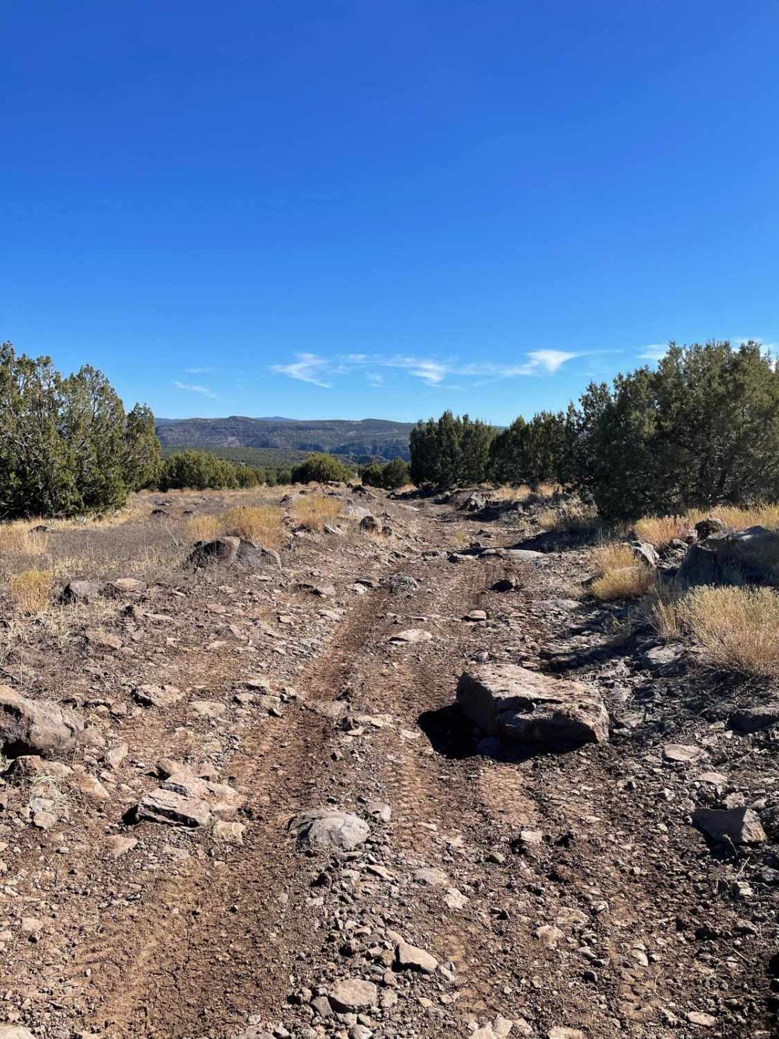
The Desoto Mine Trail is a tour of some of the most remote roads in the area. The route has very exposed shelf roads, very steep ascents and descents, and off-camber fun sections that demand your attention. This trail begins on FS259B. After visiting the Desoto Mine, the trail continues on FS9268R and ends on FS 89. At the intersection of FS9268R and FS89, the trail can be combined with Peck Mine Road with a hard right-hand turn and finished on the Senator Highway. The trail is typically run from east to west but can be run in the reverse direction for more difficulty. Also of note, the Silver Prince Mine/Swastika mine is on private property and there are signs everywhere to note this. Travelers have been permitted to drive through but you cannot stop. After you pass the big metal door at the Silver Prince Mine, see if you can spot the buried truck on the side of the mountain on the right. The trail ends on Crown King Road. If you turn right and continue up the mountain, you will arrive in the town of Crown King. If you turn left and continue down the mountain, you will pass the small town of Cleator and Bumble Bee on the way to the I-17.
Photos of Desoto Mine Trail / FS259B, FS9268R, & FS89


Difficulty
The trail is mainly comprised of a nice hard-packed dirt road. The difficulty comes with the level of narrow and exposed roads with very steep ascents and descents. There are 3 main obstacles on this trail. The first is the easiest. The approach to this obstacle is a very long and steep descent, a very short dry creek crossing, and an immediate steep climb and left-hand turn. The second could be more challenging depending on the line you choose and whether there is any ice or snow on the trail. An error, vehicle stall, or flop could be very dangerous here. The third obstacle is a very large step that you will negotiate going downhill. The right is more difficult and the left is easier. This ledge is on a very steep descent and is littered with loose rock. Beyond the ledges, there are scattered steep and off-camber sections. All demand your attention.
Status Reports
Desoto Mine Trail / FS259B, FS9268R, & FS89 can be accessed by the following ride types:
- High-Clearance 4x4
- SUV
- SxS (60")
- ATV (50")
- Dirt Bike
Desoto Mine Trail / FS259B, FS9268R, & FS89 Map
Popular Trails

Haley Hills West Leg

Misled Wash

The onX Offroad Difference
onX Offroad combines trail photos, descriptions, difficulty ratings, width restrictions, seasonality, and more in a user-friendly interface. Available on all devices, with offline access and full compatibility with CarPlay and Android Auto. Discover what you’re missing today!