Ehrenberg to Diablo Pass
Total Miles
13.2
Technical Rating
Best Time
Spring, Fall, Winter
Trail Type
High-Clearance 4x4 Trail
Accessible By
Trail Overview
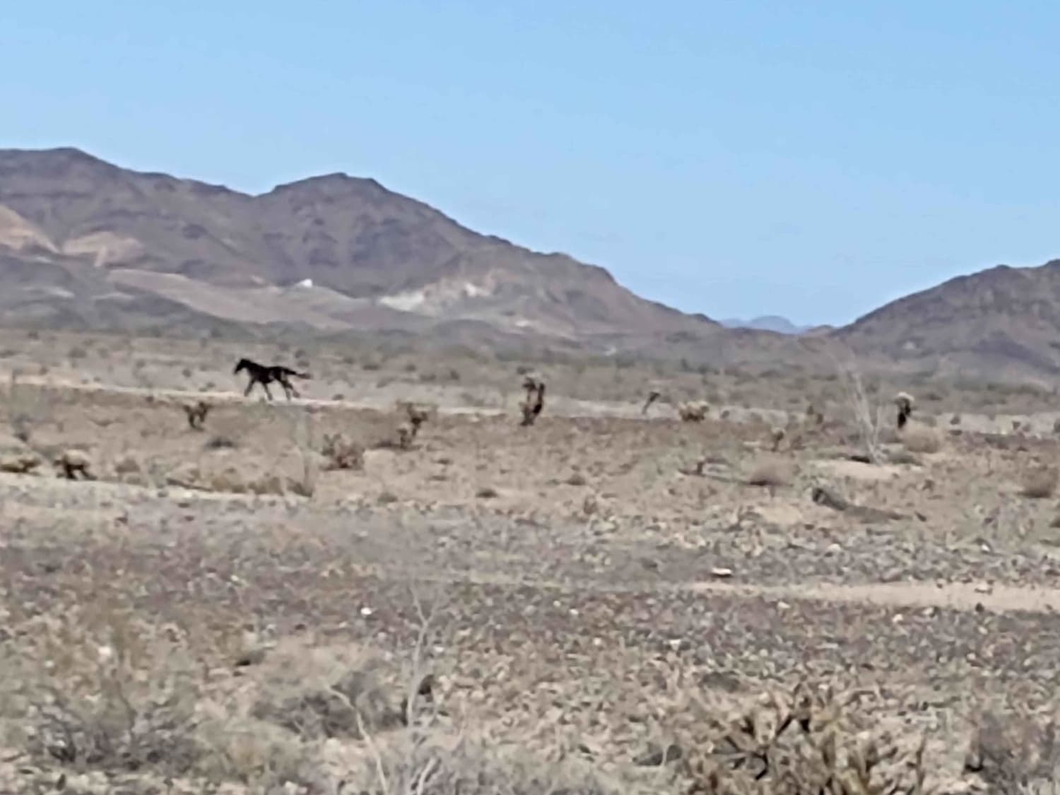
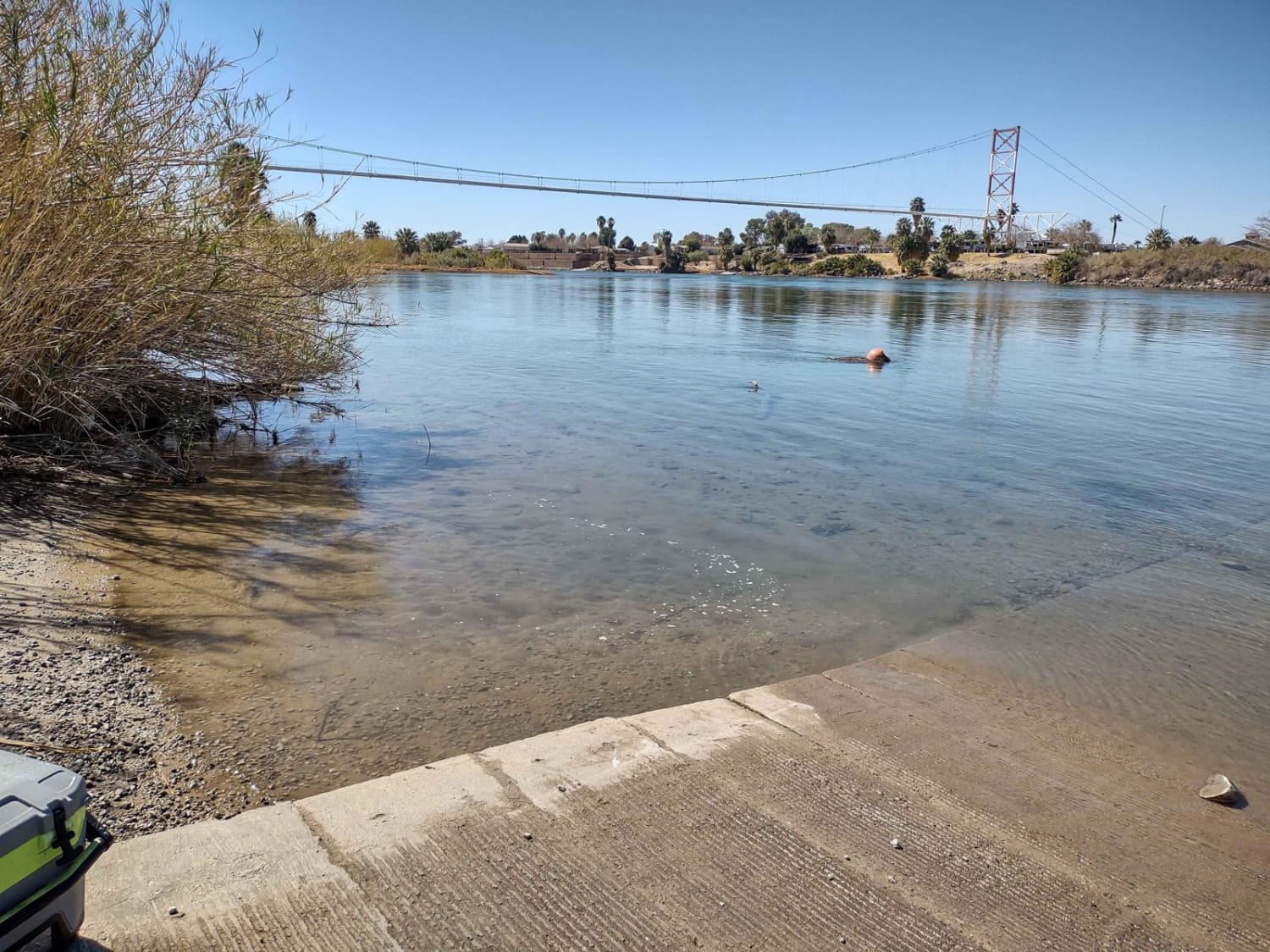
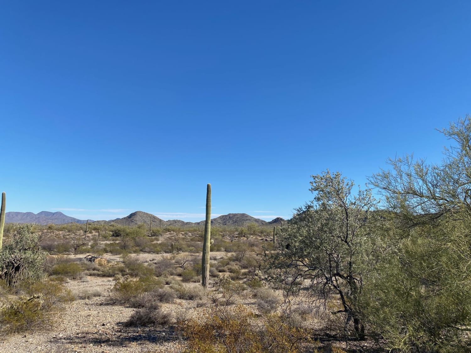
This track crosses the Colorado River Indian Tribe Lands, so YOU NEED a CRIT sticker before riding this trail. You will travel from Ehrenberg, at the Colorado River, to Diablo Pass, going through the Plomosa Mountains. The CRIT sticker can be purchased at the CRIT office in Parker, AZ. It's $25 a year, and well worth the fee because if you're caught riding without it, they can confiscate your rig. This area of the desert in SW Arizona is a good place to see wild horses and burros and donkeys. You might also run across a coyote, a roadrunner, or see quail. It's always a good idea to be aware of rattlesnakes in this area. Diablo Pass will take you back to the east towards Quartzsite. Just south of Ehrenberg, be sure to check out the Ehrenberg Sandbowl OHV area. The trails in this area of AZ are numerous. If you're properly licensed (CRIT sticker and AZ sticker), you can ride for miles without seeing very many people. The desert is covered with multiple kinds of cacti, and if the monsoon rains happened, they might even be in bloom. Both lunch and fuel can be purchased in Ehrenberg. This track goes across the desert, where it's fairly flat. You will be in and out of washes, and then you cross the Plomosa Mountains. Bring a camera. Driftwood, cactus, and wildlife make great photos.
Photos of Ehrenberg to Diablo Pass
Difficulty
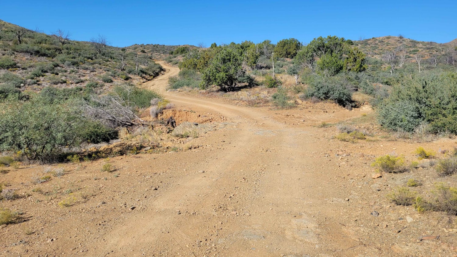
This is an easy trail. The only things to be aware of are changes in the trail due to heavy rains. Washes may have new obstacles that washed in, and areas of erosion may affect the trail.
Status Reports
Ehrenberg to Diablo Pass can be accessed by the following ride types:
- High-Clearance 4x4
- SxS (60")
- ATV (50")
- Dirt Bike
Ehrenberg to Diablo Pass Map
Popular Trails

Pondo Ripper
Maggie May's Way
AZPT Deep Sand Bypass
Sonoran Desert 8009
The onX Offroad Difference
onX Offroad combines trail photos, descriptions, difficulty ratings, width restrictions, seasonality, and more in a user-friendly interface. Available on all devices, with offline access and full compatibility with CarPlay and Android Auto. Discover what you’re missing today!
