Four Peaks
Total Miles
25.2
Technical Rating
Best Time
Spring, Summer, Fall, Winter
Trail Type
Full-Width Road
Accessible By
Trail Overview
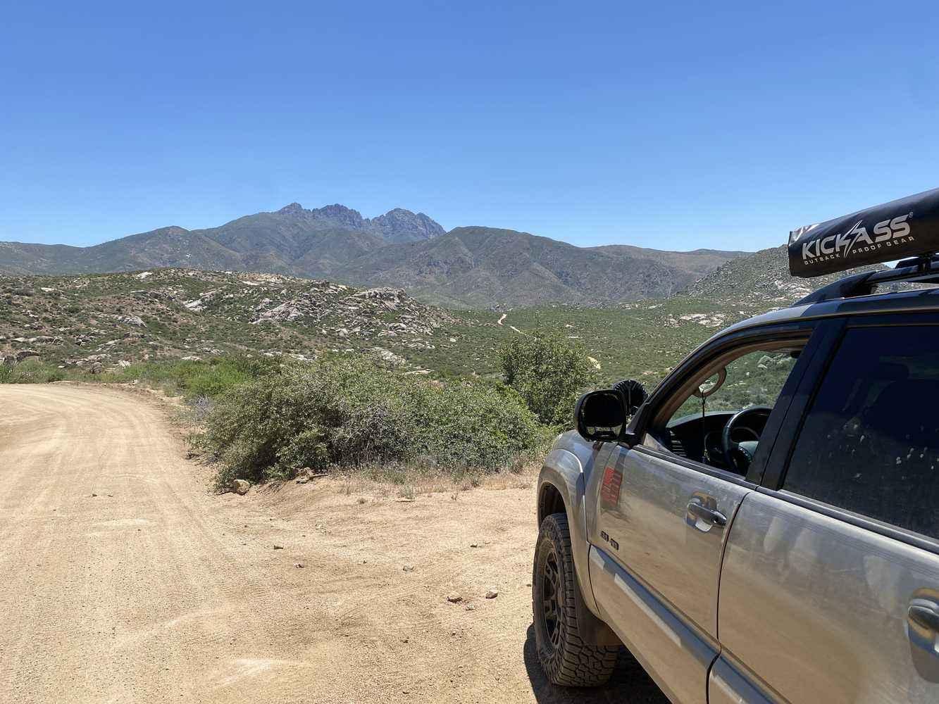
Four Peaks is an excellent off-road trail for beginners. The trail is well-maintained and can become a bit dusty at times. Located in the Tonto National Forest, Four Peaks reaches a maximum elevation of approximately 5,765 feet. The official trail designation is Trail 143, and it is typically open throughout the entire season.
Photos of Four Peaks
Difficulty
Please be advised that this trail features narrow shelf roads and can become quite dusty, with blind corners at higher elevations. Exercise caution, take your time, and enjoy the scenic views for a safe and pleasant journey.
History
Rising dramatically on the eastern skyline of Phoenix, Four Peaks beckons adventurers with its rugged beauty. As part of the majestic Mazatzal Mountains, this formidable landmark is nestled within the wild expanse of the Four Peaks Wilderness in the Tonto National Forest, 40 miles east-northeast of Phoenix. During winter, the peaks transform into a breathtaking spectacle, cloaked in snow and visible from across the Phoenix metro area. Explorers can uncover hidden treasures here, including an amethyst mine famed for its exquisite gemstones. The name 'Four Peaks' alludes to the quartet of distinct summits crowning a north-south ridge. The northernmost summit, Brown's Peak, towers above the rest at a thrilling ~7,600 feet, marking the highest point in Maricopa County. This is a call to all who seek the thrill of the wild and the beauty of untamed nature.
Status Reports
Four Peaks can be accessed by the following ride types:
- High-Clearance 4x4
- SUV
- SxS (60")
- ATV (50")
- Dirt Bike
Four Peaks Map
Popular Trails
Beale's Wagon Road
Russell Tank Road
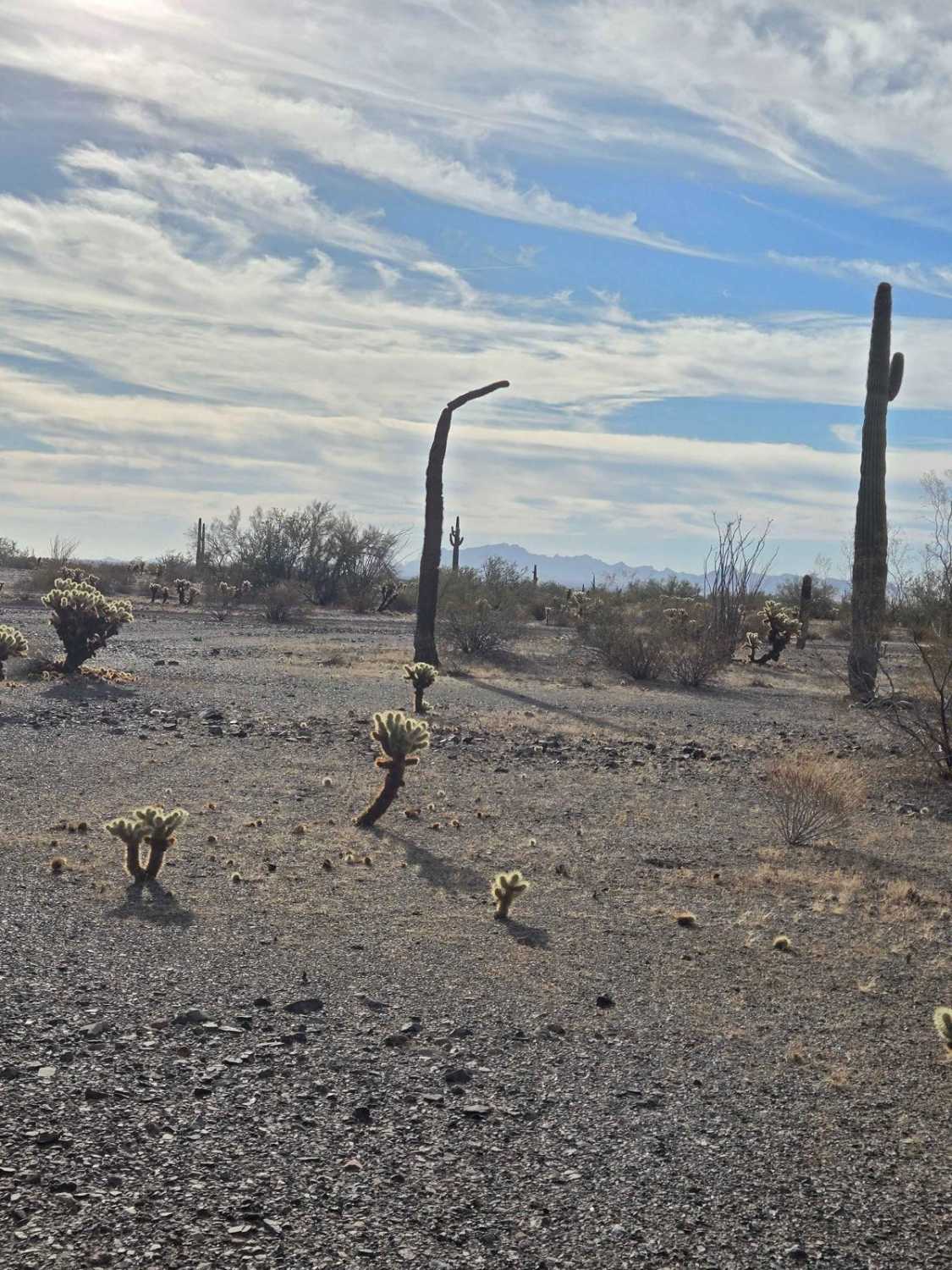
Trail to Hope
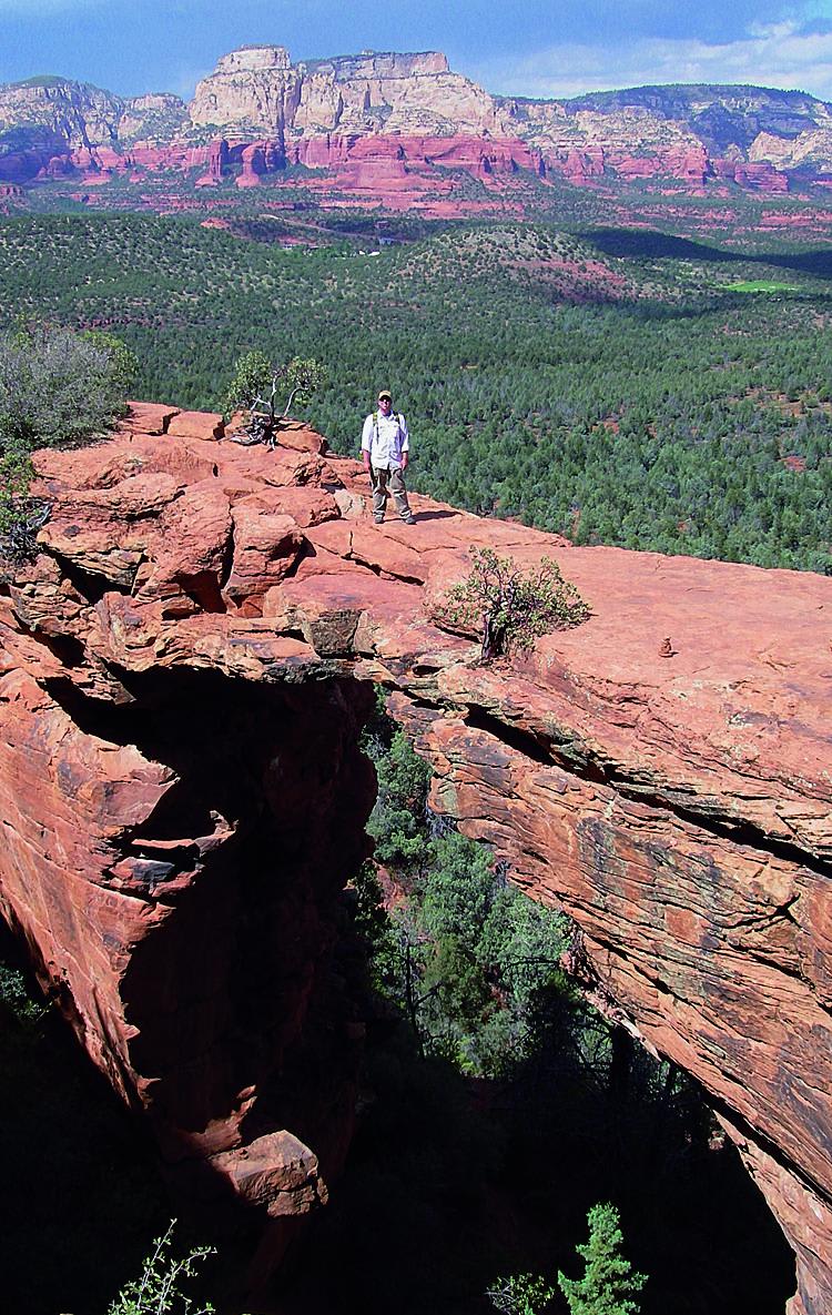
Devil's Bridge, Van Deren Cabin
The onX Offroad Difference
onX Offroad combines trail photos, descriptions, difficulty ratings, width restrictions, seasonality, and more in a user-friendly interface. Available on all devices, with offline access and full compatibility with CarPlay and Android Auto. Discover what you’re missing today!
