Russell Tank Road
Total Miles
4.1
Technical Rating
Best Time
Spring, Summer, Fall
Trail Type
Full-Width Road
Accessible By
Trail Overview
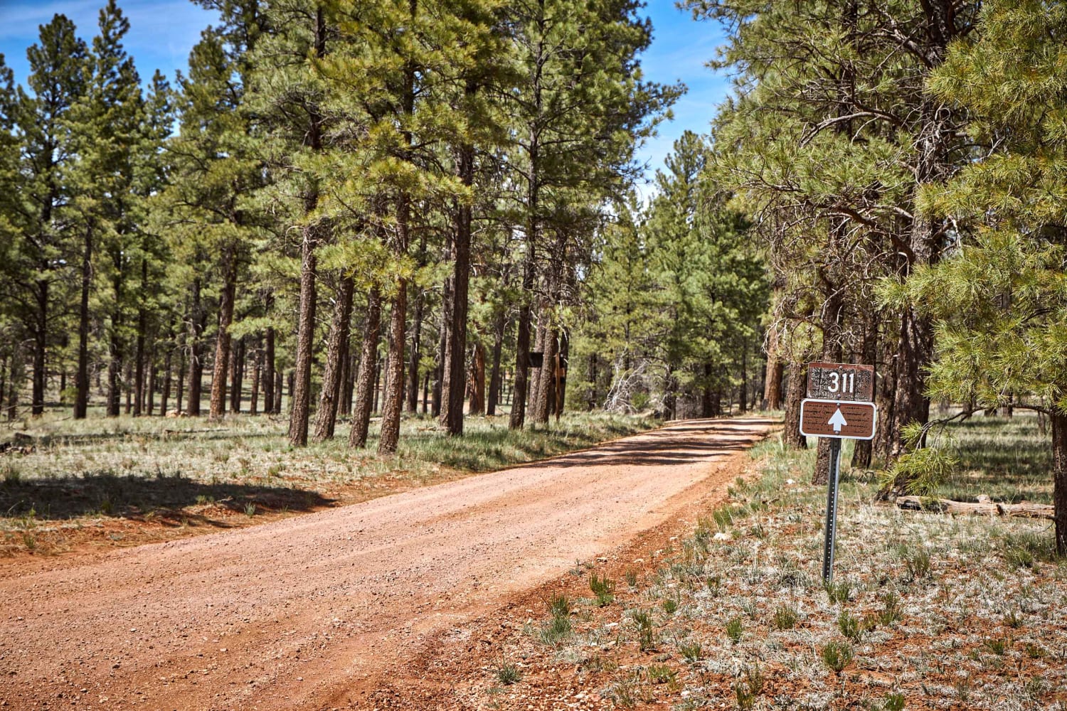
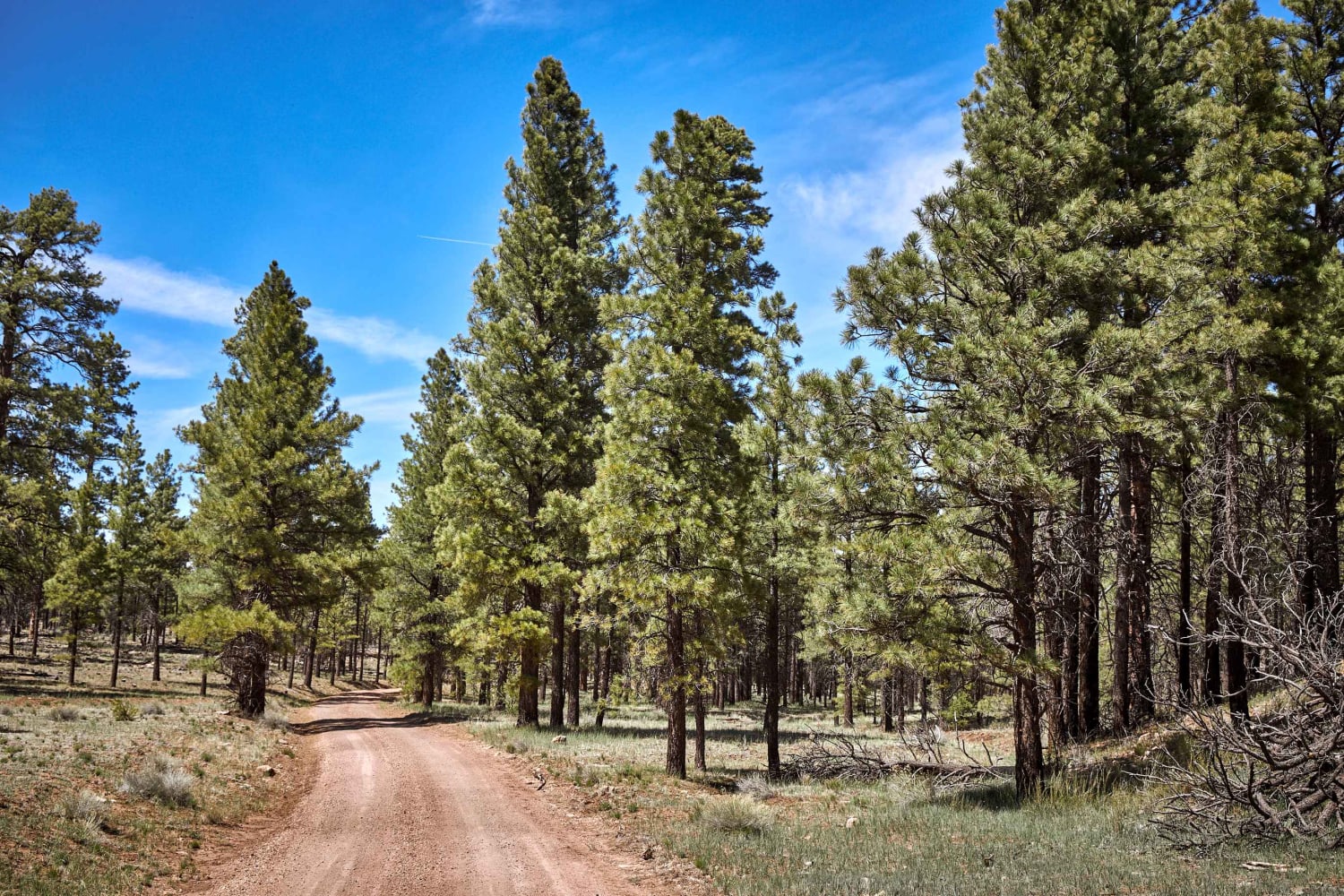
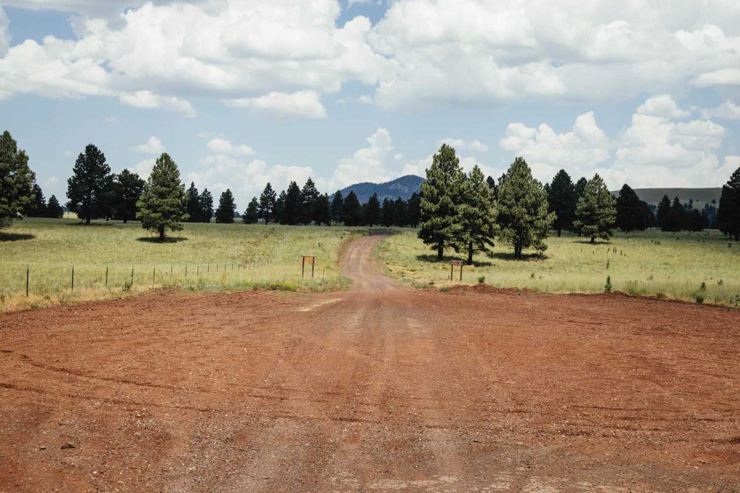
Russell Tank Road weaves its way gently through the glorious Ponderosa Pines of the Kaibab National Forest on the Coconino Plateau. There are no obstacles over 12" on the pretty single-track dirt road, but there is plenty to see. Elk about in this area and large primitive campsites are sporadically scattered, with evidence of past kills.
Photos of Russell Tank Road
Difficulty
Unmaintained Dirt trail that might prove challenging after rain or snow.
Status Reports
Popular Trails

Sacramento Wash Trail

Entrance Trail to the Tonto National Forest Desert Vista OHV

AZPT Mittry Lake Leg
The onX Offroad Difference
onX Offroad combines trail photos, descriptions, difficulty ratings, width restrictions, seasonality, and more in a user-friendly interface. Available on all devices, with offline access and full compatibility with CarPlay and Android Auto. Discover what you’re missing today!


