Sacramento Wash Trail
Total Miles
2.2
Technical Rating
Best Time
Spring, Fall
Trail Type
Full-Width Road
Accessible By
Trail Overview
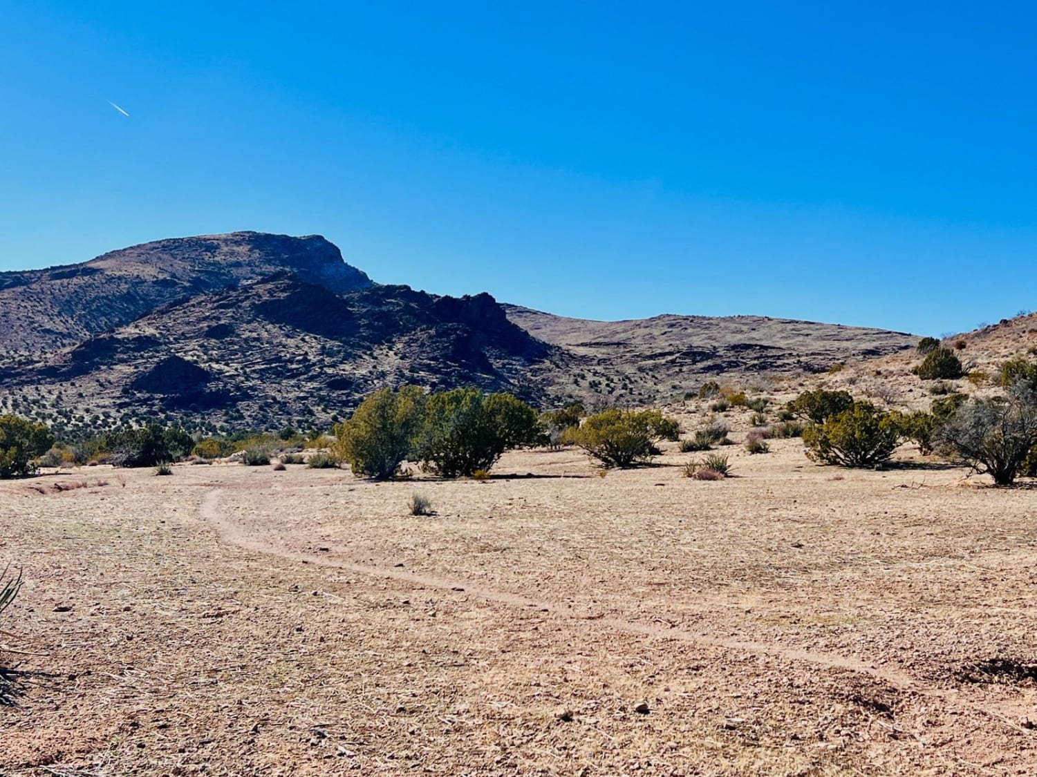
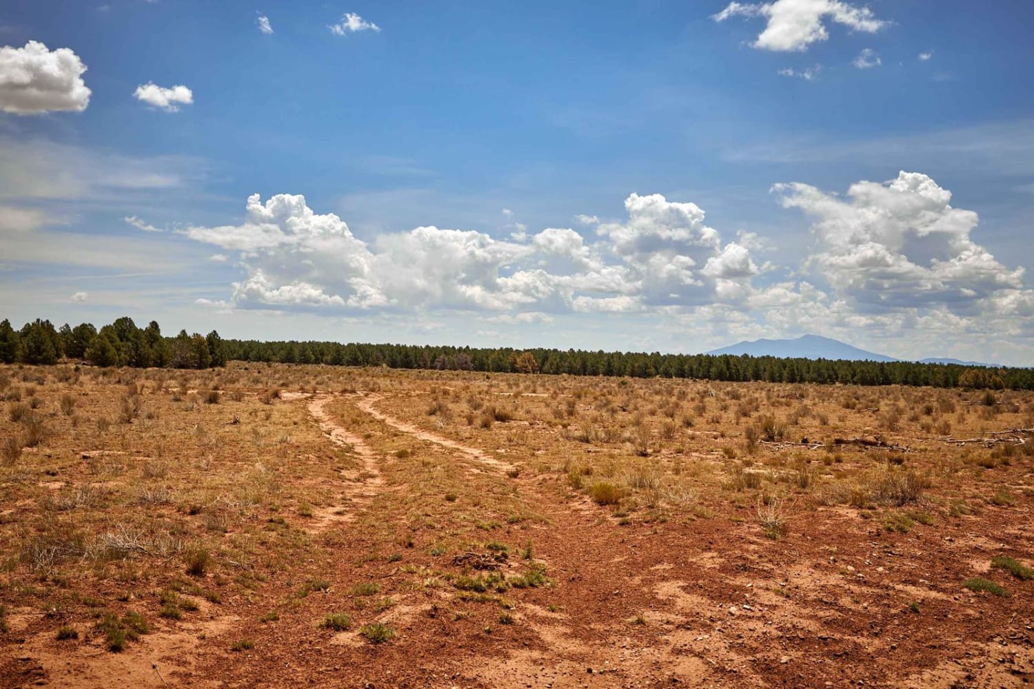
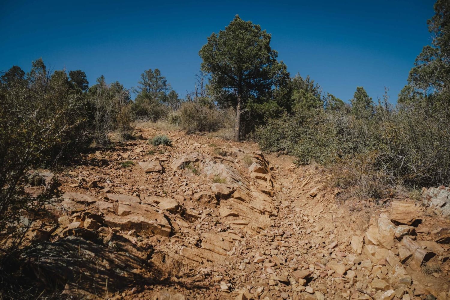
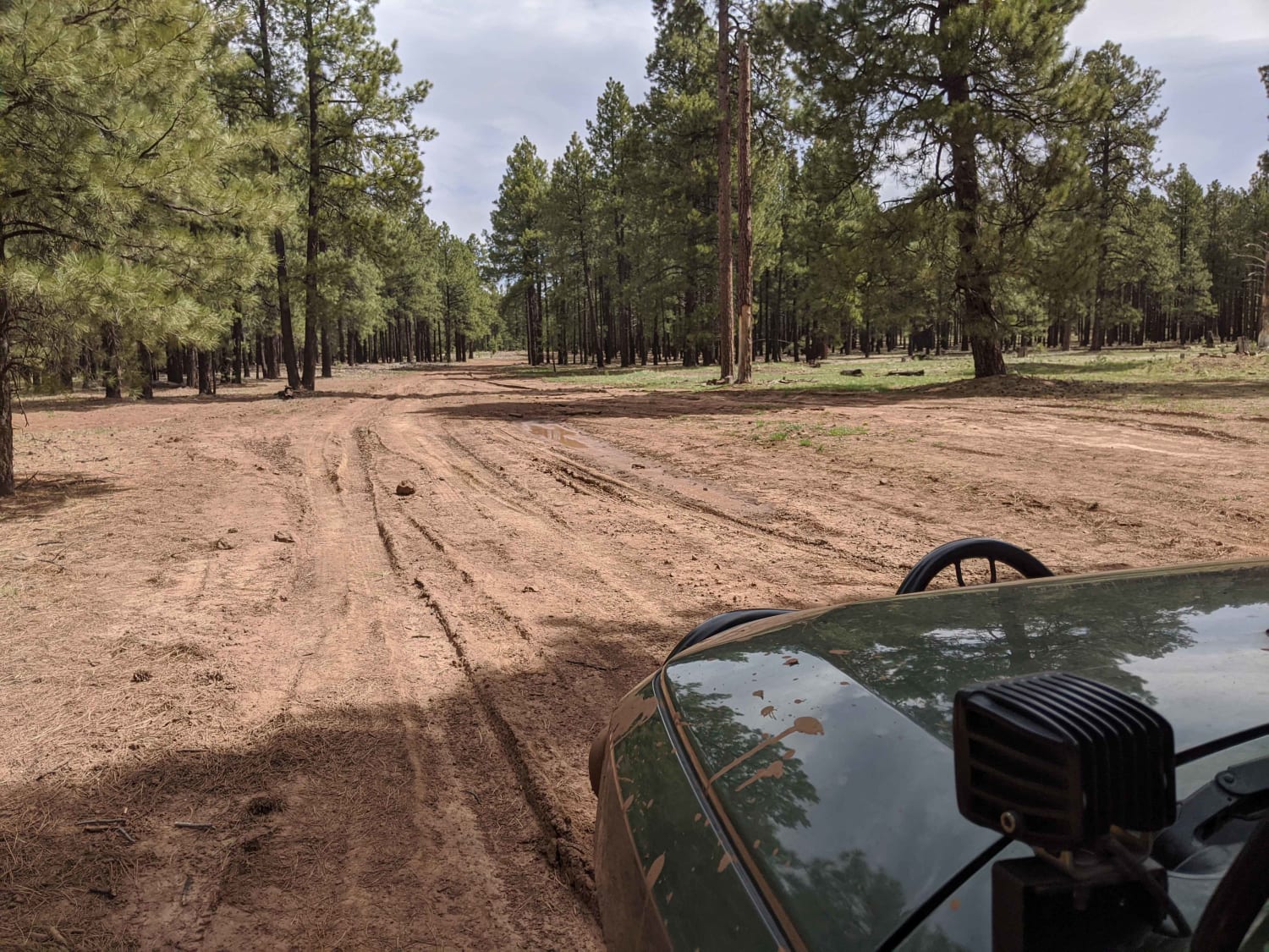
This is an out-and-back trail that starts from Highway 93. It is off the roadside, so you'll miss it if you're not watching for the trail entrance. A wire gate is across the beginning of the trail with a sign that says to keep the gate closed. The chain to keep the gate closed can be hard to get back on. This trail begins on Arizona state trust land and enters BLM land. This trail is narrow, with little room for vehicles to pass. The trail surface is dirt, and it can be muddy when wet, especially the first part of the trail off the highway. Initially, a little washout has created an off-camber section, but it is easy. Then, the trail narrows with desert brush on both sides that might scratch a regular-sized vehicle. About halfway, the trail makes a left turn to stay on BLM land. The right turn just continues to private property. After taking the left, it gets a little more technical, with some rocks in the trail and a rock section crossing into and out of a wash. There are a couple of spots that are flat and open and used for camping. No fire rings are observed. Also, keep an eye out for open-range cattle in the area. The trail ends near a private neighborhood. There is a large crack in the ground where the trail looks like it used to go further but is now just an animal trail. There is a canyon and beautiful rock formations that could be interesting to explore on foot. The end of the trail is very open and would accommodate multiple vehicles. Camping along the trail might be preferable because the end of the trail is so close to houses.
Photos of Sacramento Wash Trail

Difficulty
This trail is narrow, with little room for vehicles to pass. This area can be muddy when wet. It gets rockier further along the trail and there is a rock section to navigate down into a small wash.
History
Chloride, Arizona, began as a silver mining town. In 1860, six miners began mining in what was then the Hualapai Indian territory.
Status Reports
Sacramento Wash Trail can be accessed by the following ride types:
- High-Clearance 4x4
- SUV
Sacramento Wash Trail Map
Popular Trails

North Powerline
Charcoal Gulch
Compression Station Road
The onX Offroad Difference
onX Offroad combines trail photos, descriptions, difficulty ratings, width restrictions, seasonality, and more in a user-friendly interface. Available on all devices, with offline access and full compatibility with CarPlay and Android Auto. Discover what you’re missing today!