Grass Mine Trail
Total Miles
3.3
Technical Rating
Best Time
Spring, Fall, Winter
Trail Type
Full-Width Road
Accessible By
Trail Overview
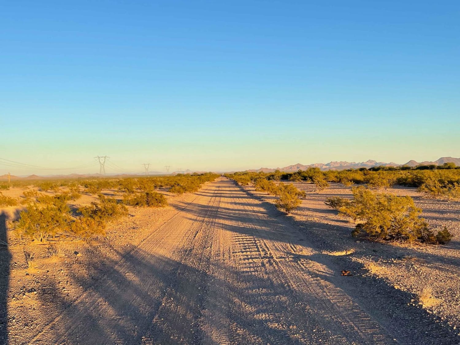
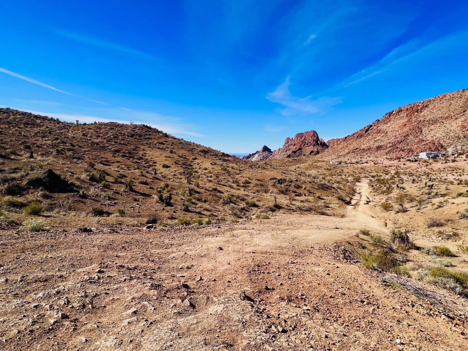
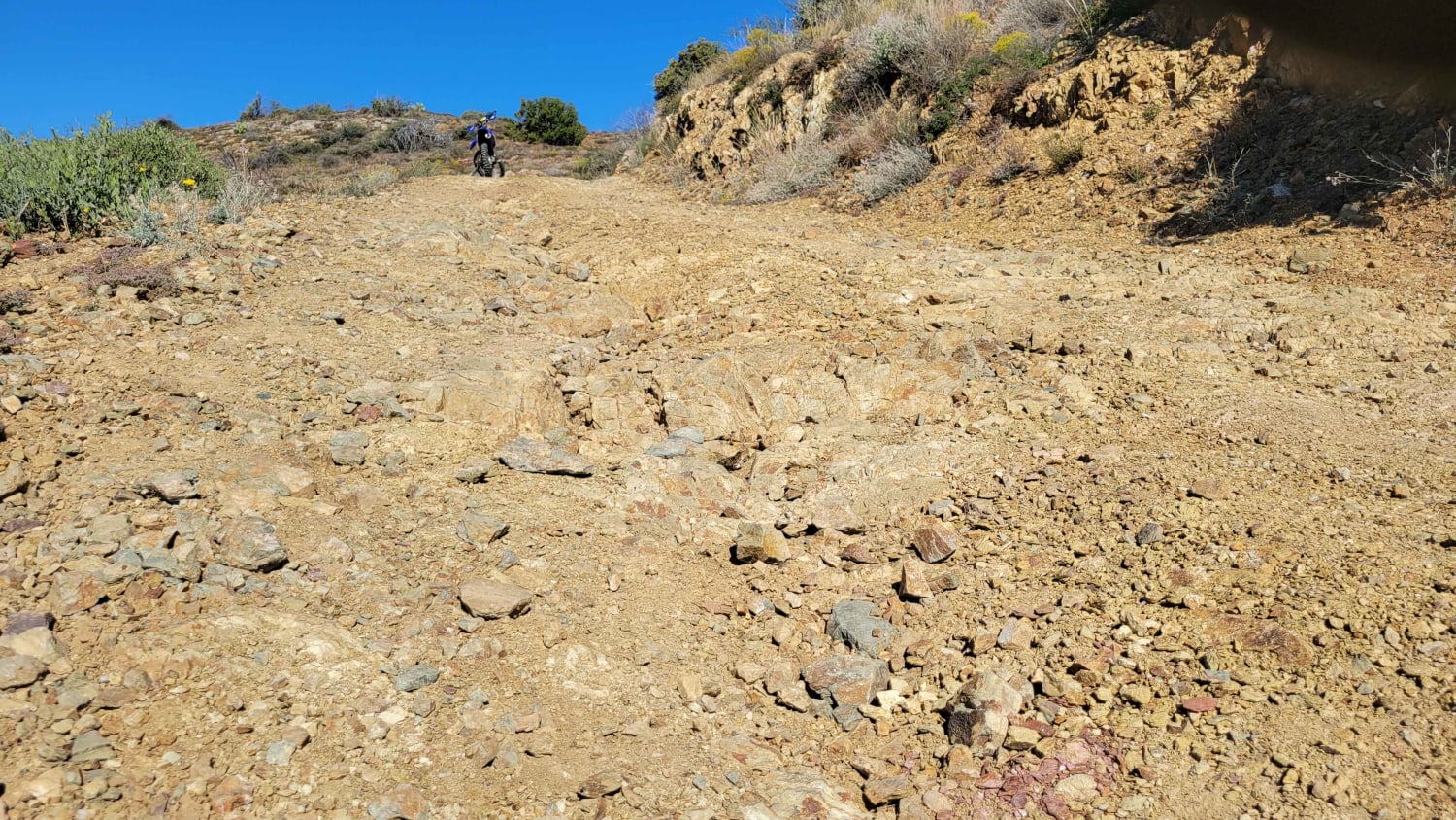
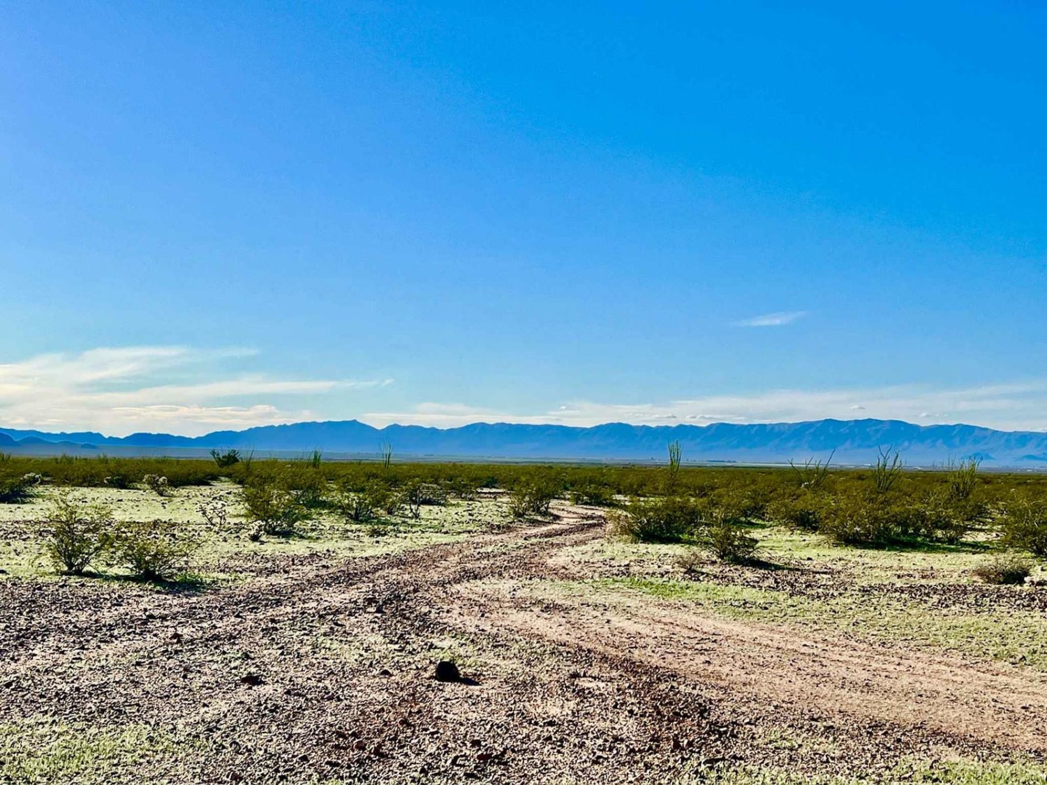
Treat this as an out-and-back trail. It could connect up behind the neighborhood to the northwest, but that's a maze of roads and private property to get out. The main trail begins off of the 3 Hills Mine Trail. This trail sticks to a lot of sand washes in the area. They are narrow, with dips and ruts to watch out for. There are lots of overgrown desert bushes that will scratch paint on larger vehicles. This area is open range and passes by some cattle tanks. There is a significant washout to cross at the last cattle tank just before getting to the mine. This area can be soft and muddy after any weather. Treat the washout area accordingly. Parts of it could give out under the weight of a heavy vehicle. After the washout, the trail turns left and heads up the hill, dead-ending at the old Grass Hill Mine. There aren't any flat spots up at the mine. If traveling in a larger group, it would be advisable to park down the hill and walk up to explore the mine. The views out to the valley from the top are quite lovely. It would be a nice spot to observe a sunset. There appear to be no dispersed campsites. However, there are open flat areas at the beginning and the end of the trail that could be used for dispersed camping. This area gets extremely hot in the summer months. Bring lots of extra water and supplies if traveling during the summer.
Photos of Grass Mine Trail
Difficulty
The trail rating is for the big washout at the trail's end close to the mine. Most of the trail would be rated a 2 for the narrow sandy washes. Some sections have a tight squeeze between desert bushes that may cause paint damage. The cattle tank areas can be muddy after a good storm. There is intermittent AT&T cell service in the area. The service gets better closer to Highway 60.
History
This route is on Arizona State Trust Land. This land requires a yearly permit that can be purchased and printed online. The permits allow certain recreational activities, including camping, bicycling, bird watching, GPS-based recreational activities (geocaching), hiking, horseback riding, off-highway vehicle (OHV) usage, photography, picnicking, and sightseeing. There are a few permit options depending on your use type: An Individual Permit is $15 and grants a single person access to State Trust Land for the above-listed purposes. The permit is good for one year from the date of purchase. A Family Permit costs $20 and grants a family unit (two adults and their children under 18) access to State Trust Land for the above-listed activities. The permit is good for one year from the date of purchase. A Small-Group Permit costs $15 and grants up to 19 people access to State Trust Land locations for five consecutive days for certain types of non-commercial recreational activities, including the above-listed activities. The permit is good for one year from the date of purchase. A Large-group Permit is for a group larger than 20 people. You must apply for this size separately online and be approved for group activities of this size. Responsibilities: Permittee(s) shall respect the land and adhere to the terms and conditions of the permit at all times. Permittee(s) shall comply with all federal, state, county, and municipal laws and ordinances while on State Trust Land. The Permittee(s) shall have the permit with them at all times while recreating on State Trust Land and have it readily available if stopped by law enforcement or any State Land Department staff. The Permittee(s) shall not remove natural products from or visit archaeological sites on State Trust Land. The Permittee(s) shall not create or leave any trash on State Trust Land, except for geocaches placed according to ASLD. The Permittee(s) shall not discharge a firearm on State Trust Land except pursuant to lawful and licensed hunting. An ASLD Recreational Permit is not required for individuals with a valid hunting and fishing license who are actively pursuing game or fish. The Permittee(s) shall only participate in OHV usage on State Trust Land with an ASLD Recreational Permit and an OHV decal or license plate. The Arizona Department of Transportation Motor Vehicle Division (MVD) is the issuing agency for the OHV decal, certificates of title, registrations, and license plates.
Status Reports
Grass Mine Trail can be accessed by the following ride types:
- High-Clearance 4x4
- SUV
- SxS (60")
- ATV (50")
- Dirt Bike
Grass Mine Trail Map
Popular Trails

Turtleback Wash

AZPT Deep Sand Bypass

Bypass AZPT Bullhead City to Oatman Medium

Big Maggie May
The onX Offroad Difference
onX Offroad combines trail photos, descriptions, difficulty ratings, width restrictions, seasonality, and more in a user-friendly interface. Available on all devices, with offline access and full compatibility with CarPlay and Android Auto. Discover what you’re missing today!

