Gumdrop
Total Miles
2.5
Technical Rating
Best Time
Spring, Summer, Fall
Trail Type
Full-Width Road
Accessible By
Trail Overview
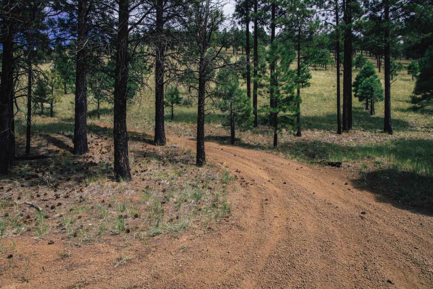
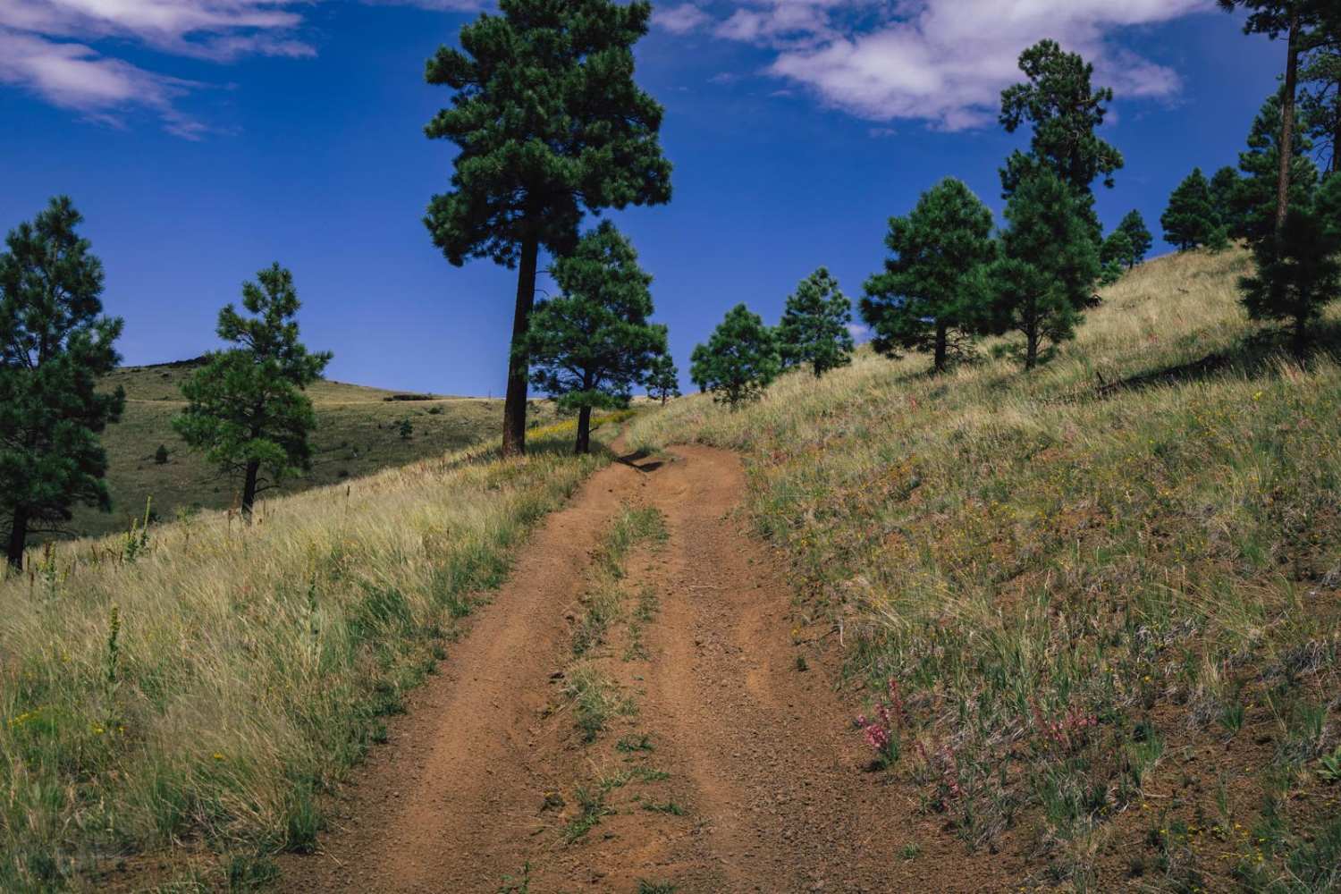
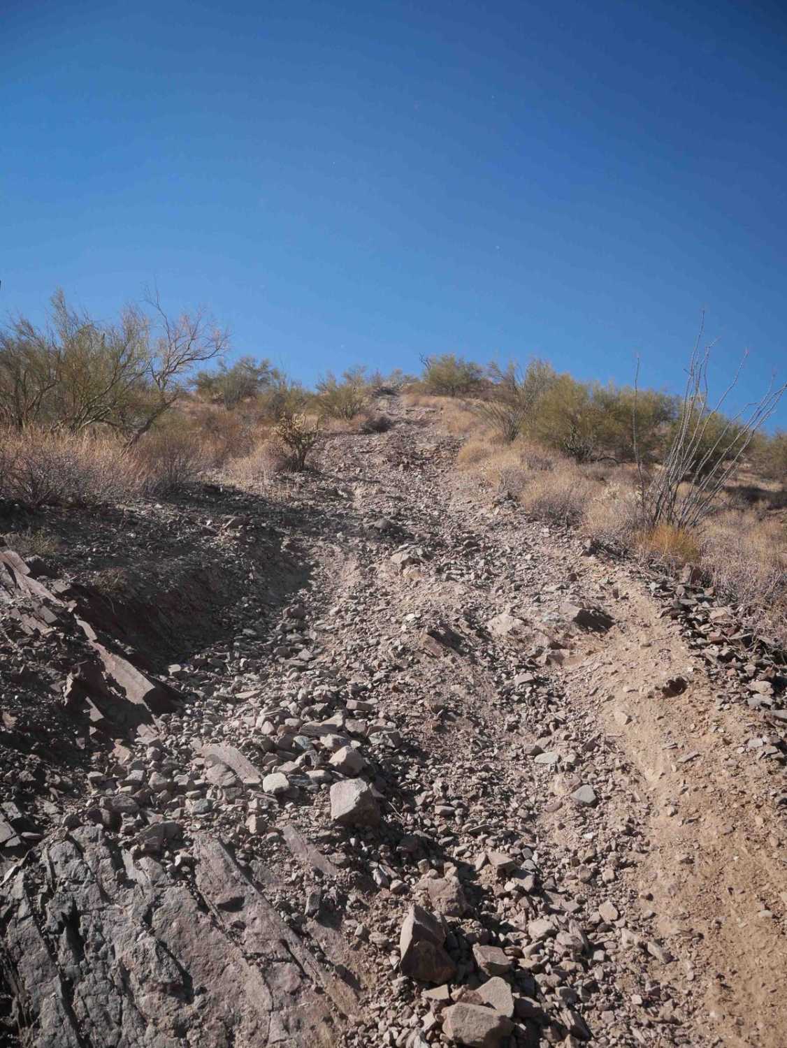
**This trail was mapped West to East** The Gumdrop trail was such a joy to map! It starts off of the 550 trail and is a narrow one-lane trail, with the first mile being a narrow, off-camber shelf road. DO NOT ATTEMPT THIS TRAIL IF YOU DO NOT LIKE HEIGHTS, SHELF-ROAD SITUATIONS, or LONG LOOSE STEEP HILL CLIMBS. This trail is a full commit right out of the gate as there is NO PLACE TO PASS OR TURN AROUND. On the initial climb, you will be off camber on a narrow shelf road with the driver's side sloping downhill. The hills are steep. DO NOT ATTEMPT IF YOU DO NOT LIKE HEIGHTS. Once back around the hill, you'll climb into the saddle. At the saddle, there is an offshoot trail up another hill that consists of steep, loose rock while straddling erosion and water damage. The views are worth it. On the downhill, you'll run right next to washouts and erosion that, if you stray from the trail, you or your vehicle "lives there now". Once down into the trees, there are wash crossings with steep entrances and exits, washouts, and water damage until you rejoin the main trail.
Photos of Gumdrop
Difficulty
This is an unmaintained trail with wash crossings with steep entrances and exits. There are several steep hill climbs/descents of loose rock. The shelf road section is steep and exposed, with off-camber sections facing downhill. DO NOT ATTEMPT IF YOU ARE AFRAID OF HEIGHTS.
Status Reports
Popular Trails
Scott's Lead Well Spur
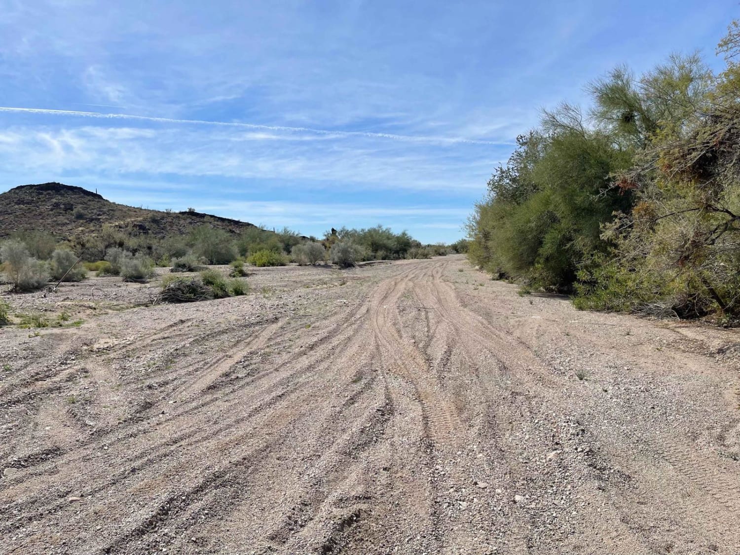
NottBusch Wash

Upper Canal Track
The onX Offroad Difference
onX Offroad combines trail photos, descriptions, difficulty ratings, width restrictions, seasonality, and more in a user-friendly interface. Available on all devices, with offline access and full compatibility with CarPlay and Android Auto. Discover what you’re missing today!
