Gunsight Canyon Overlook -BLM179-180
Total Miles
2.0
Technical Rating
Best Time
Spring, Summer, Fall, Winter
Trail Type
Full-Width Road
Accessible By
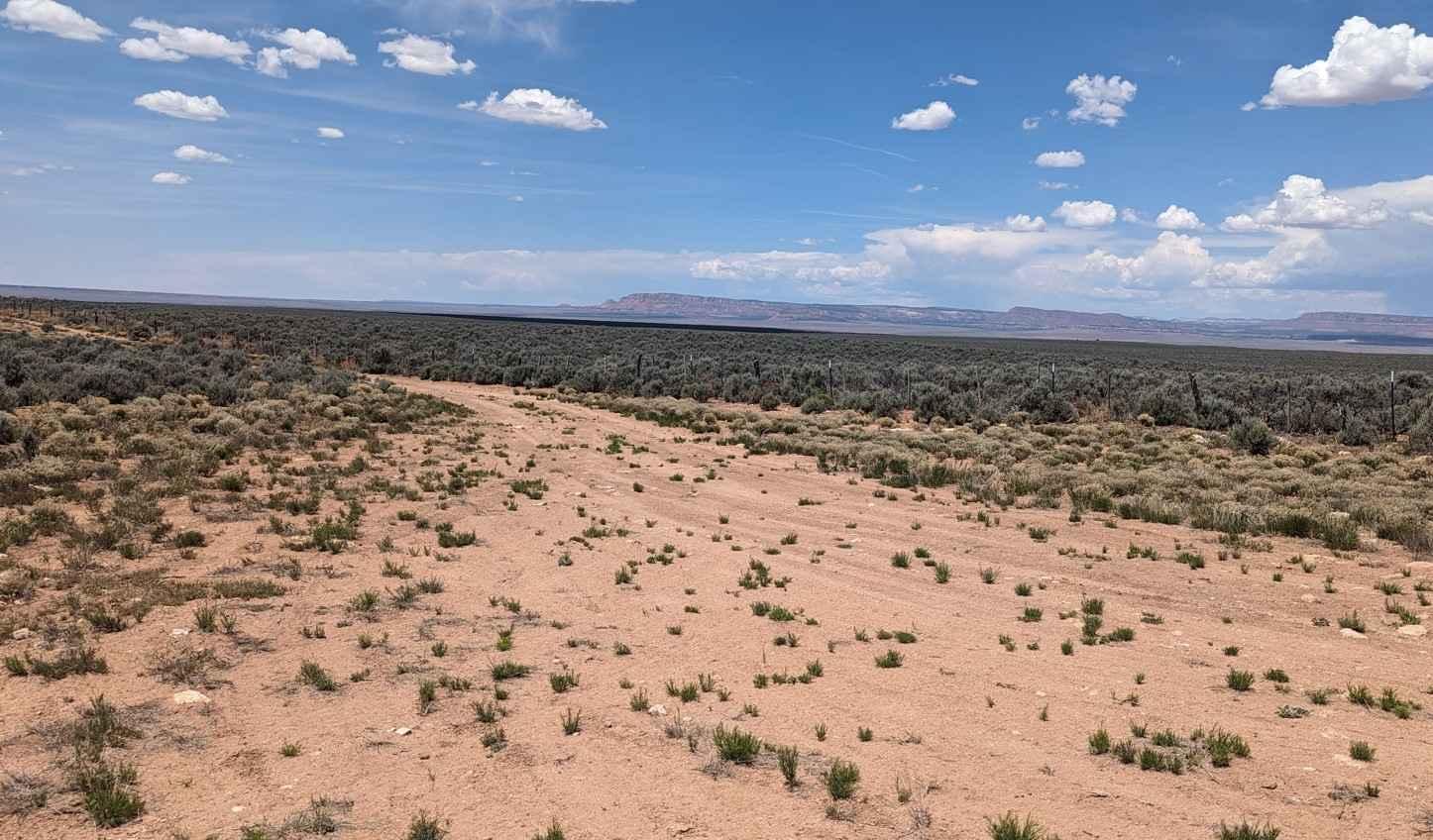
Trail Overview
Gunsight Canyon Overlook is a 2-mile out-and-back (4-mile round trip) trail rated 3 of 10 located in Arizona's Coconino County. This dirt and sand track follows along one of the BLM grazing fences, out past a coral and to an overlook of the Gunsight Canyon. This is a fairly easy track with only one section of minor washout. The last quarter mile of the trail has a rocky descent which will have to be climbed on the return trip. Gunsight Canyon is a small tributary canyon that spills into the Kanab Creek. As you approach the overlook you will see the beginning of the canyon on both sides of the trail. From a fairly flat plateau, the canyon drops over 1200' in less than a mile. When looking at this canyon think about how much water it took to carve, then look back on the plateau and consider how flat. Dispersed camping is allowed on BLM lands, and this remote location offers great views. The overlook has room for a small group campsite. The Gunsight Plateau is quietly tucked away in the Arizona Strip between Fredonia and Lee's Ferry. The plateau is elevated and protrudes south giving amazing views of the canyons below. From Gunsight Point, you can see the confluence of two major drainage points of the Grand Canyon - Snake Gulch which is to the east, and Kanab Creek to the west. Gunsight Plateau is a relatively flat terrain covered in Pinyon Pine and juniper. There is also considerable Mormon Tea and other flowering plants on the plateau. This area is accessible year-round and is not subject to the October to May closures of the Grand Canyon's north rim. The area does get very hot in the summer. This is a remote area where the likelihood of seeing other people is very low. There is no cell service away from Fredonia. Food and fuel can be found in Fredonia or a little further north in Kanab, Utah.
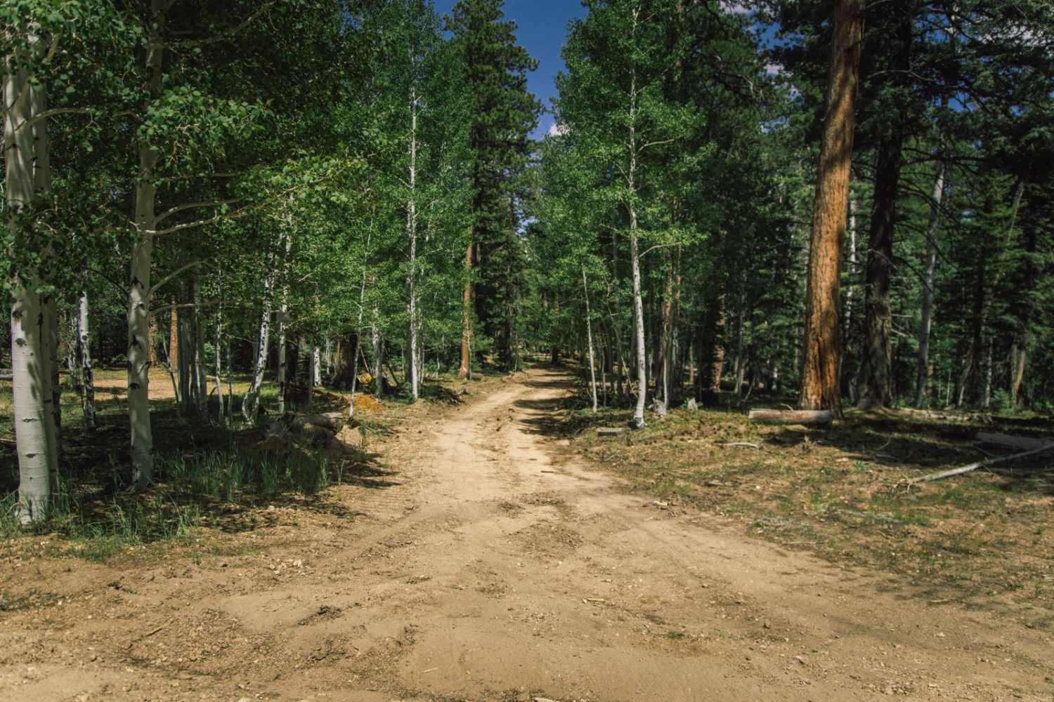
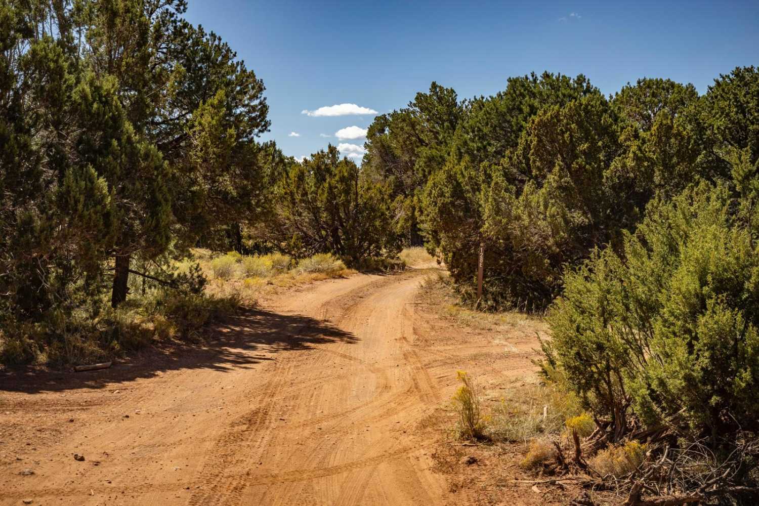
Photos of Gunsight Canyon Overlook -BLM179-180

Difficulty
Trail consisting of loose rocks, dirt, and sand with some slick rock surfaces, mud holes possible, no steps higher than 12". 4WD may be required, aggressive tires are a plus.
Status Reports
Gunsight Canyon Overlook -BLM179-180 can be accessed by the following ride types:
- High-Clearance 4x4
- SUV
- SxS (60")
- ATV (50")
Gunsight Canyon Overlook -BLM179-180 Map
Popular Trails
Eldorado Powerline Trail
China Dam/Tule Homestead
The onX Offroad Difference
onX Offroad combines trail photos, descriptions, difficulty ratings, width restrictions, seasonality, and more in a user-friendly interface. Available on all devices, with offline access and full compatibility with CarPlay and Android Auto. Discover what you’re missing today!