Hell Point
Total Miles
3.6
Technical Rating
Best Time
Fall, Spring
Trail Type
High-Clearance 4x4 Trail
Accessible By
Trail Overview
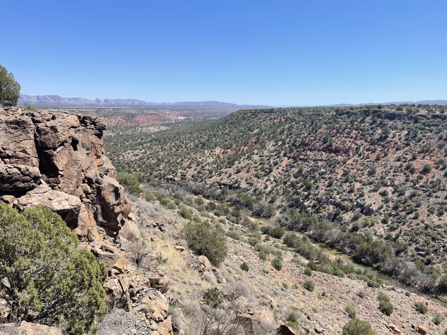
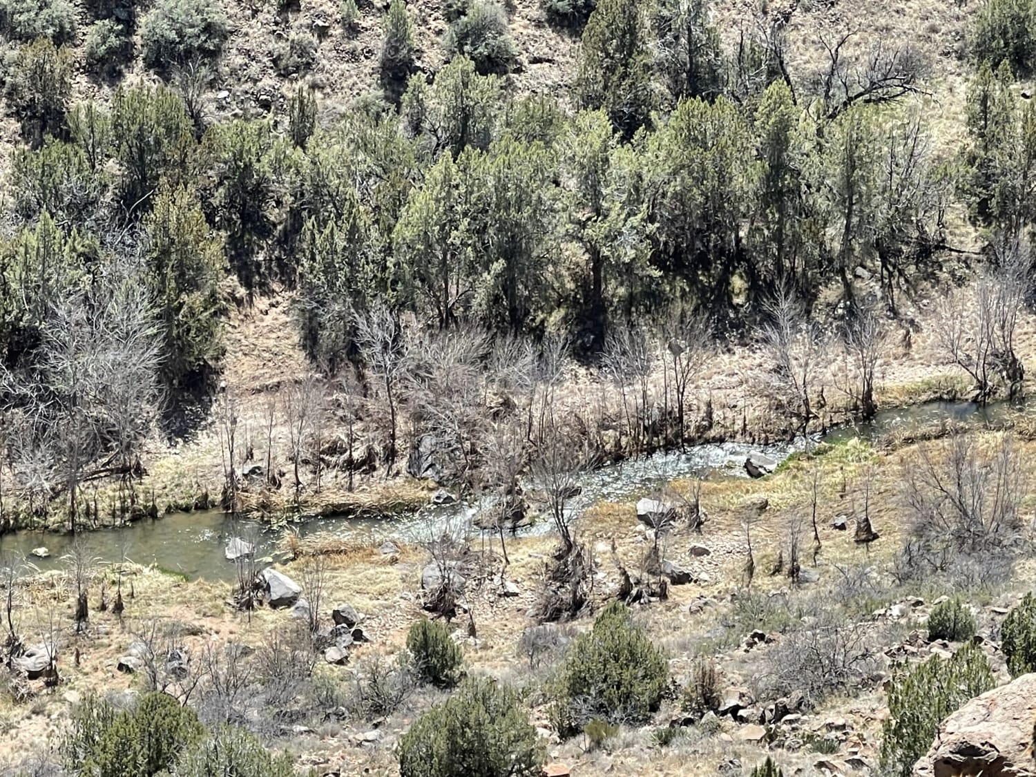
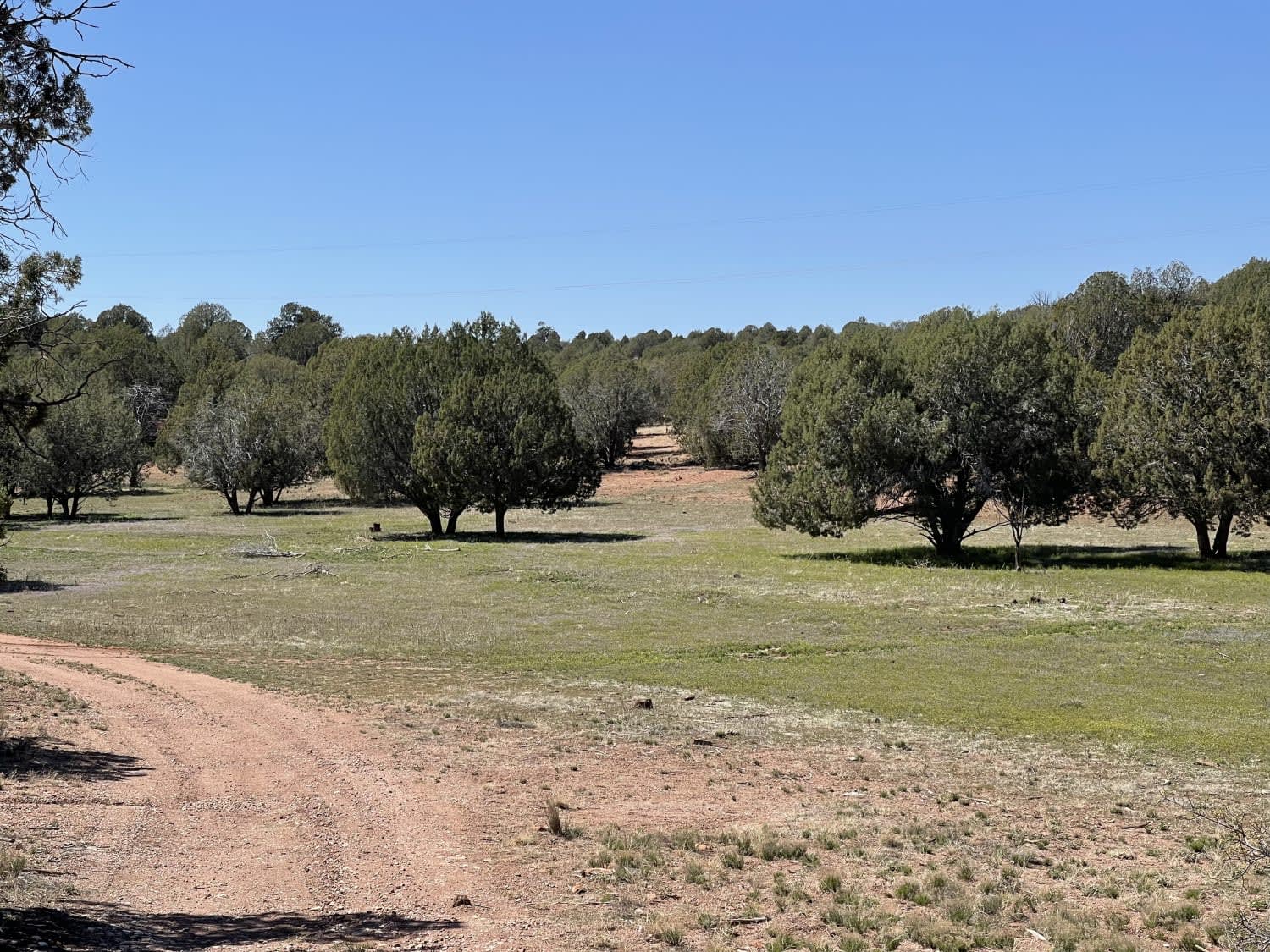
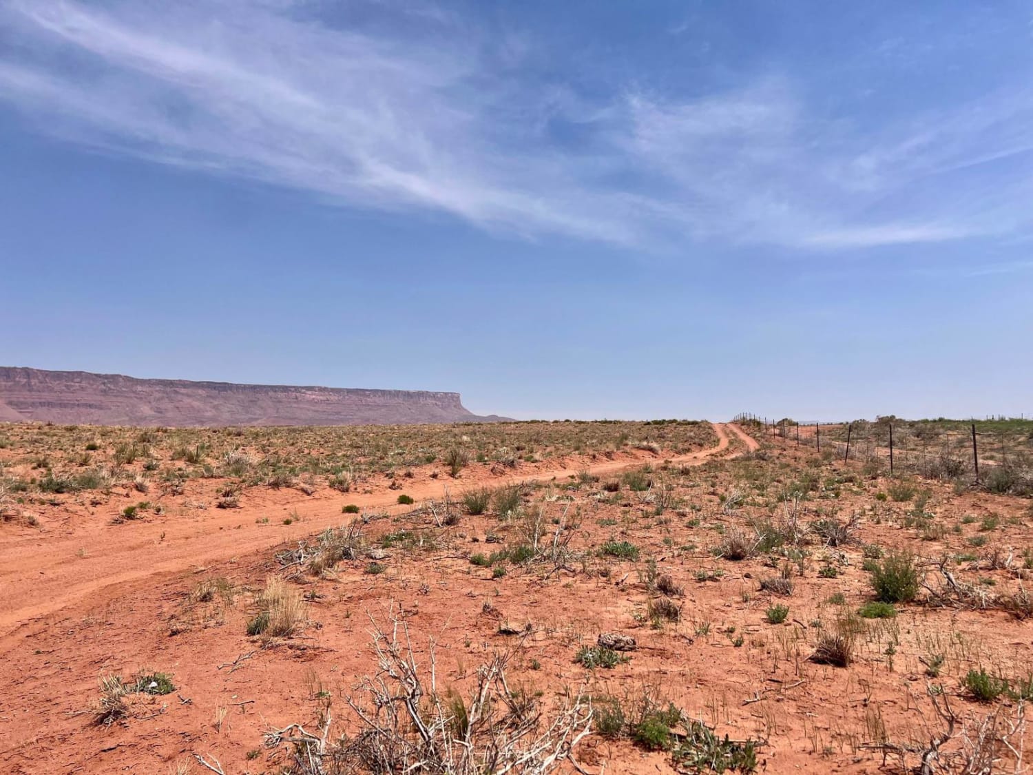
While this trail doesn't provide vehicular access to Hell Point, it gets you to the trailhead to hike the rest of the way on foot. When you follow the route around to the final roundabout, there is a great view of the canyon in both directions and of the beautiful Verde River below. There are a handful of dispersed camping spots around and fire rings nestled into the Junipers. With a keen eye, you should be able to spot one. The trail is generally easy, but there are some serious washouts that are quite deep and could easily damage a stock vehicle's bumper. Thankfully most of those have a bypass. But, there are quite a few off-camber sections with minor washouts as this trail also appears to be drainage for the area. One bar of LTE cell service.
Photos of Hell Point
Difficulty
Deep washouts and off camber sections
Status Reports
Popular Trails
Middle Wash #525
BLM 1395 " The Cutover"

24012 Trail
The onX Offroad Difference
onX Offroad combines trail photos, descriptions, difficulty ratings, width restrictions, seasonality, and more in a user-friendly interface. Available on all devices, with offline access and full compatibility with CarPlay and Android Auto. Discover what you’re missing today!
