Juniper Spring
Total Miles
4.1
Technical Rating
Best Time
Spring, Summer, Fall
Trail Type
Full-Width Road
Accessible By
Trail Overview
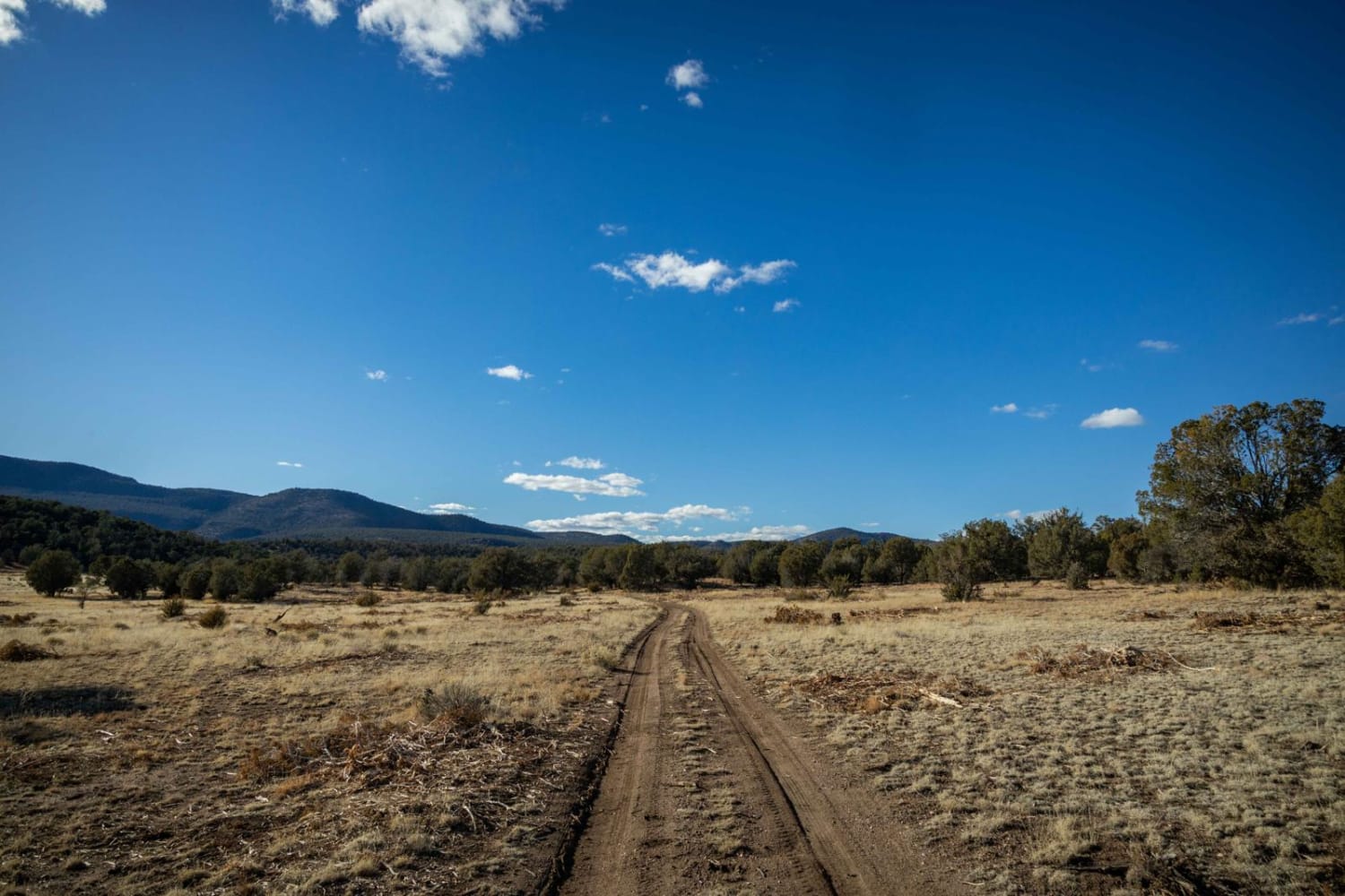
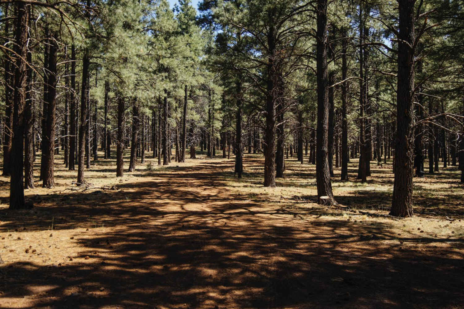
If you're looking for a challenging, rough, and rocky trail, then this is your guy! Juniper Spring starts off in the lowlands of the Prescott National Forest in an area that's a popular basecamp for hunters. After weaving through the trees, you'll very quickly head uphill on an off-camber single-lane rock trail that, at times, becomes off-camber. Many wash crossings and erosion are a reminder that the hills are shaped by the water that flows down them. Long steep climbs on loose rocks the size of couch cushions remind you to use 4Low. The trail gets narrow at points, guaranteeing paint damage to whatever you're driving, as juniper and burberry bushes rake your vehicle. There are ledges, large loose rocks, steep entrances and exits to the wash crossing, and erosion that drive the difficulty of this trail upward. The trail culminates at a spring, but the you might have to walk the last section as the brush and overgrowth are too much for a vehicle to attempt.
Photos of Juniper Spring
Difficulty
This is a rough trail of rock, off-camber shelf roads, ledges, and wash crossings that could prove hazardous during or after a rain event. Caution is advised.
Status Reports
Juniper Spring can be accessed by the following ride types:
- High-Clearance 4x4
- SUV
- SxS (60")
- ATV (50")
- Dirt Bike
Juniper Spring Map
Popular Trails
AZPT Royal Arch Loop

Graffiti Tunnel Loop
Old 2500 Road
The onX Offroad Difference
onX Offroad combines trail photos, descriptions, difficulty ratings, width restrictions, seasonality, and more in a user-friendly interface. Available on all devices, with offline access and full compatibility with CarPlay and Android Auto. Discover what you’re missing today!

