Little Joe Draw
Total Miles
4.3
Elevation
1,662.27 ft
Duration
0.75 Hours
Technical Rating
Best Time
Spring, Fall, Winter
Trail Overview
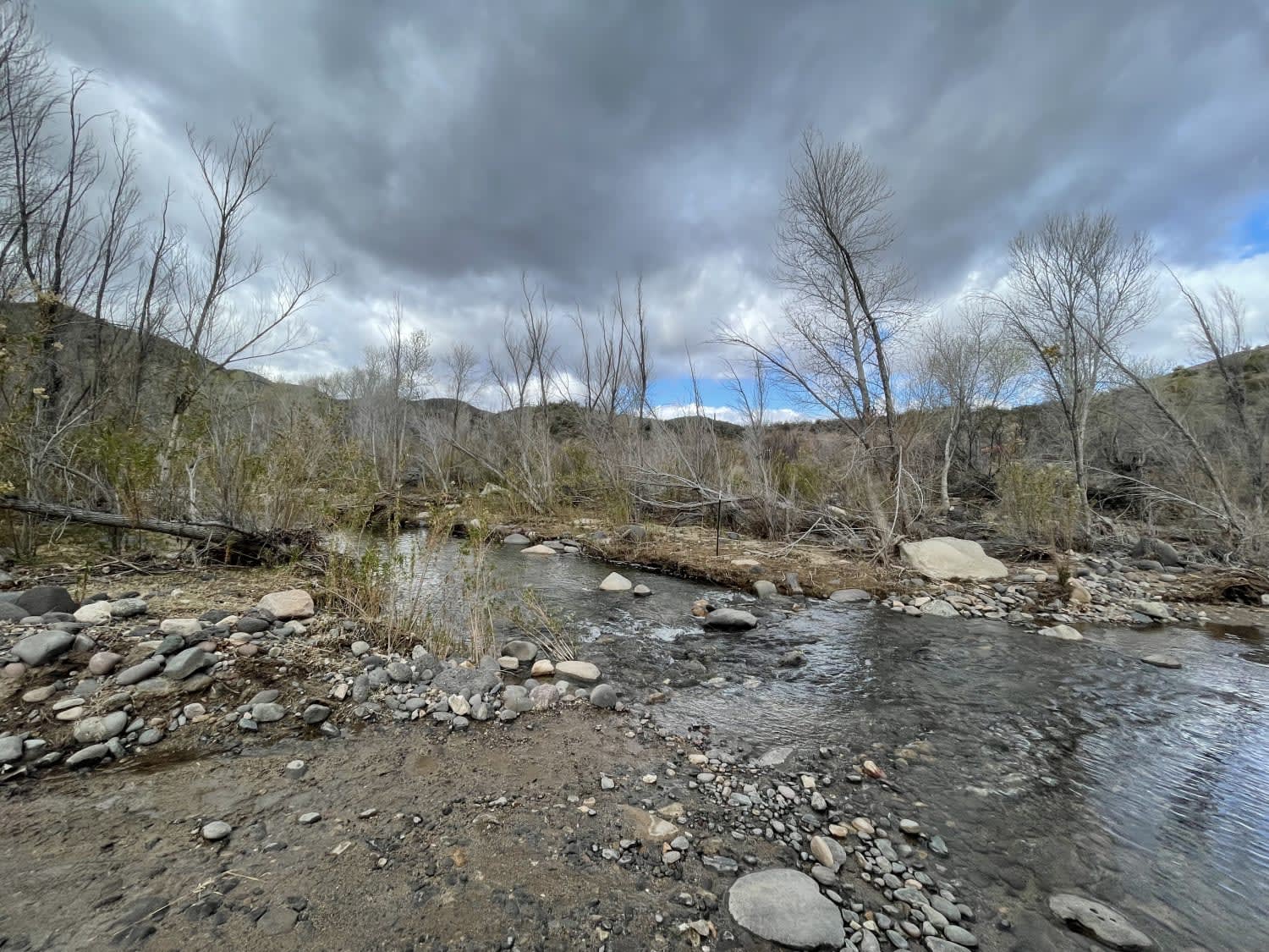
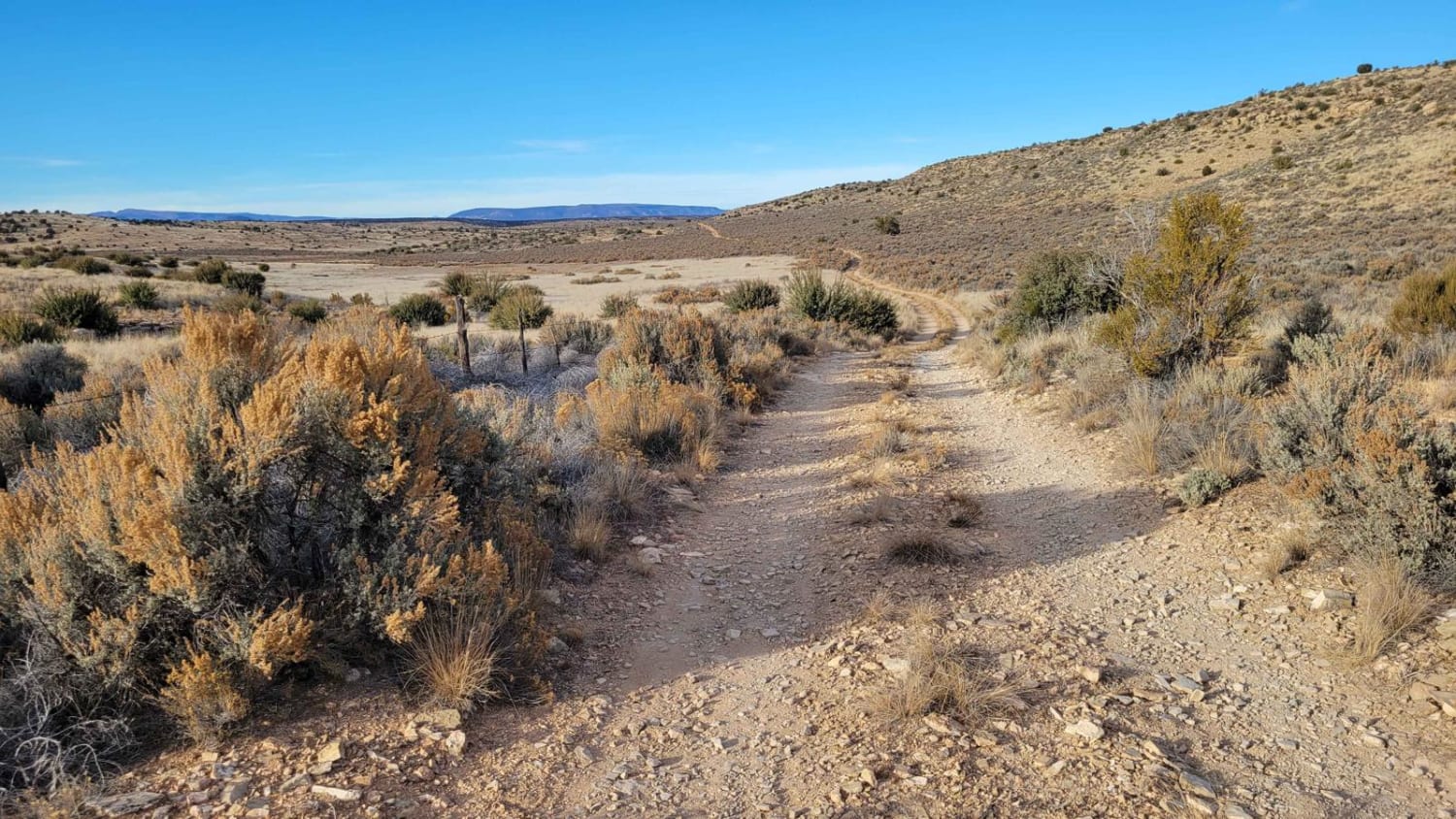
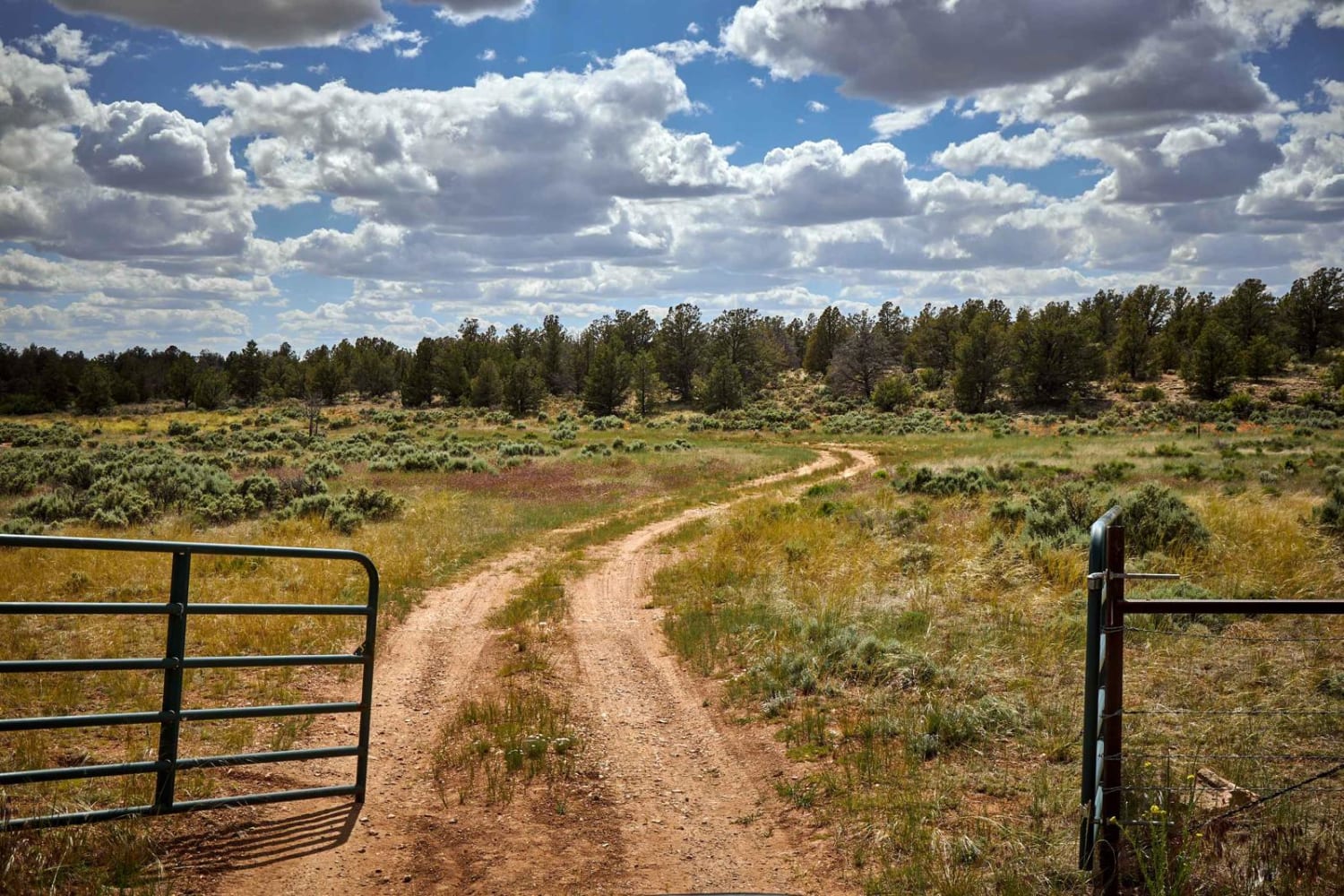
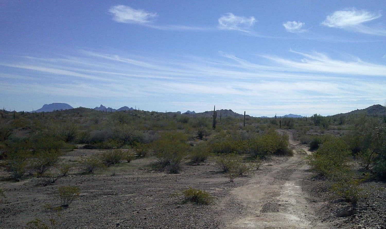
Little Joe Draw is an unmarked connecting trail between Sullivan Draw Road and the end of Sullivan Ridge South. There are a couple of small offshoot trails, including Little Connector, that get you up onto Sullivan Ridge. At the north end of the trail, you will encounter a deep silt bed on the trail less than a quarter of a mile long. The deep silt is hiding ruts that will pull your vehicle/tires in. If there are multiple vehicles, the dust kicked up will significantly reduce visibility. Beyond that, the trail is an easy two-track, wide enough for one vehicle. The trail follows the plateau through the high-desert landscape. There is an old corral at the north end of the trail as well. The trail crosses a cattle guard; livestock are free-roaming and can be on the trail so be on the lookout. The Arizona Strip is incredibly remote with no service and hardly any visitors. Summer months will reach triple-digit temperatures and freezing temperatures in the winter months. Be prepared when venturing out here.
Photos of Little Joe Draw
Difficulty
At the north end of the trail, you will encounter a deep silt bed on the trail less than a quarter of a mile long. The deep silt is hiding ruts that will pull your vehicle/tires in. If there are multiple vehicles, the dust kicked up will significantly reduce visibility. Beyond that, the trail is an easy two-track, wide enough for one vehicle.
Status Reports
Popular Trails

South Mesa

6 Mile Crossing to West Burro Creek Road
The onX Offroad Difference
onX Offroad combines trail photos, descriptions, difficulty ratings, width restrictions, seasonality, and more in a user-friendly interface. Available on all devices, with offline access and full compatibility with CarPlay and Android Auto. Discover what you’re missing today!


