Lower Loop Trail
Total Miles
4.7
Technical Rating
Best Time
Spring, Summer, Fall
Trail Type
Full-Width Road
Accessible By
Trail Overview
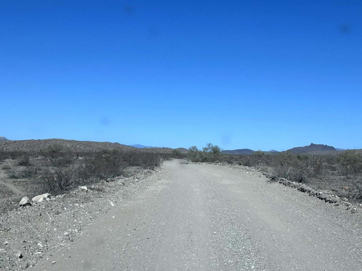
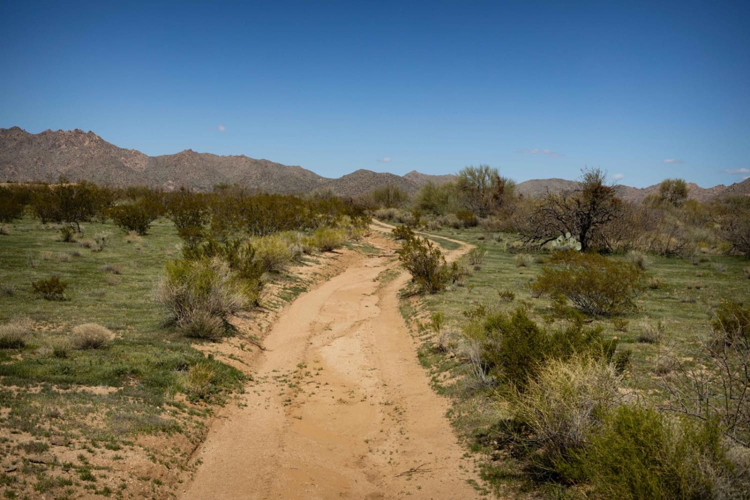
Lower Loop trail is a delightful easy trail. The wash crossings and erosion aren't so bad that they have become washouts, and the paint damage, while guaranteed, isn't so much to deter you from exploring this section of the desert. Creosote and palo verde trees along with various species of cactus line this trail, so beware of punctures. There is minimal to no cell service out here, so offline maps are essential. This route is on Arizona State Trust Land. This land requires a yearly permit that can be purchased and printed online. The permits allow certain recreational activities, including camping, bicycling, bird watching, GPS-based recreational activities (geocaching), hiking, horseback riding, off-highway vehicle (OHV) usage, photography, picnicking, and sightseeing.
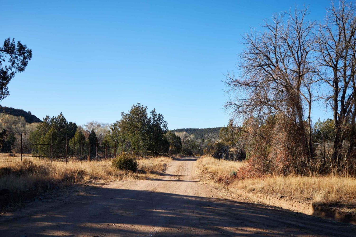
Photos of Lower Loop Trail
Difficulty
This trail is unmaintained and primitive, and the erosion and wash crossings may become problematic after a moisture event.
Status Reports
Lower Loop Trail can be accessed by the following ride types:
- High-Clearance 4x4
- SUV
- SxS (60")
- ATV (50")
- Dirt Bike
Lower Loop Trail Map
Popular Trails

Sycamore Rim Overlook

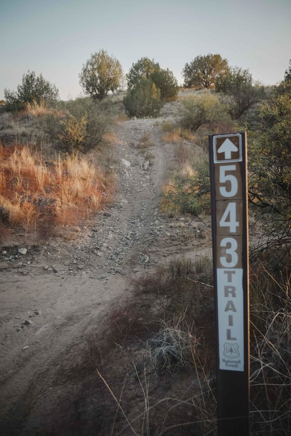
Grapevine #543

Planet Ranch Road
The onX Offroad Difference
onX Offroad combines trail photos, descriptions, difficulty ratings, width restrictions, seasonality, and more in a user-friendly interface. Available on all devices, with offline access and full compatibility with CarPlay and Android Auto. Discover what you’re missing today!


