Mine Route Lookout
Total Miles
2.3
Technical Rating
Best Time
Spring, Summer, Fall
Trail Type
Full-Width Road
Accessible By
Trail Overview
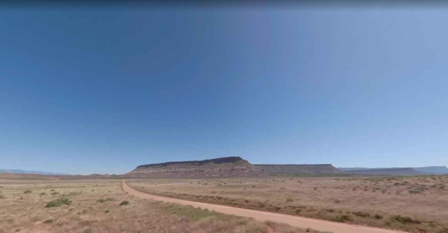
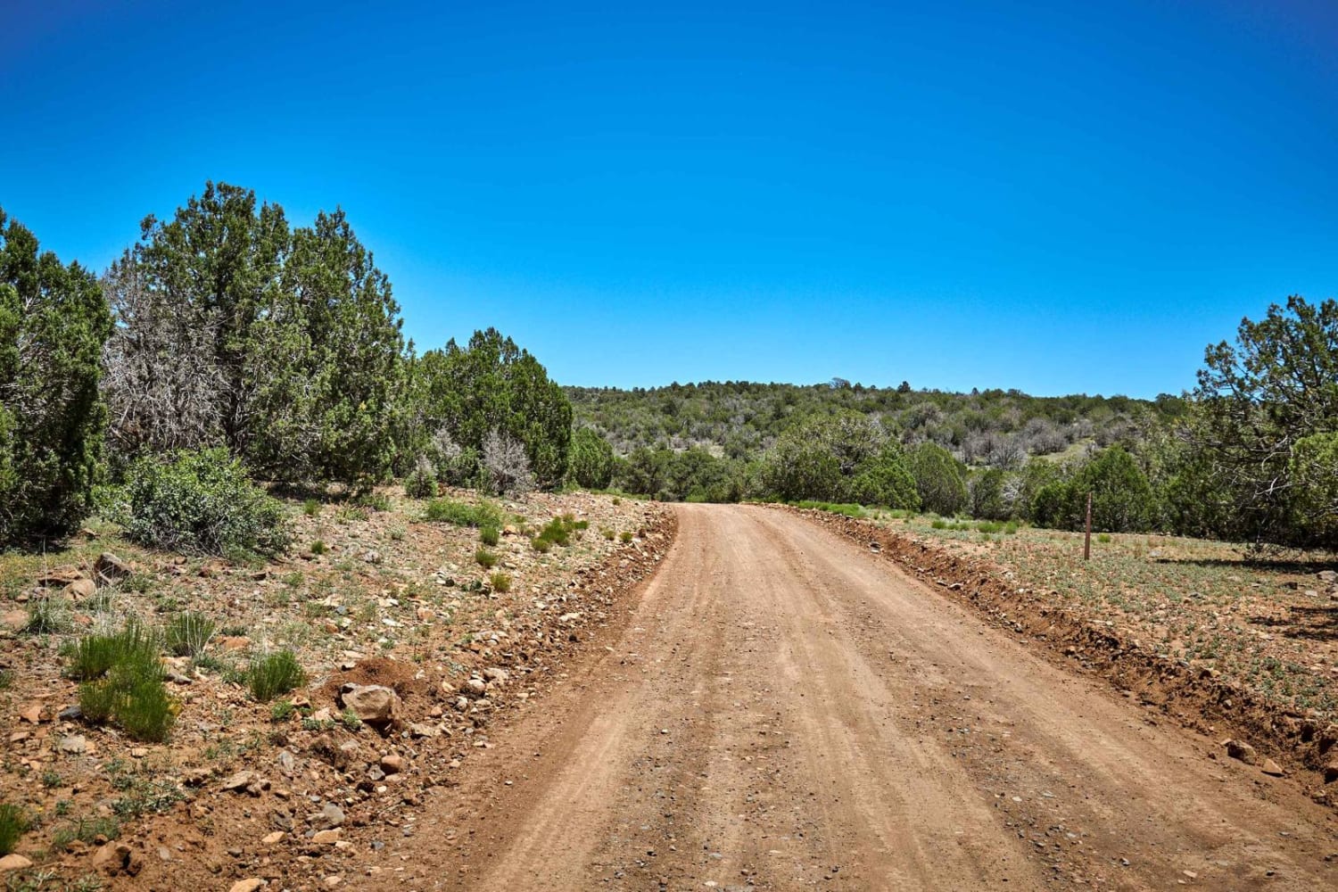
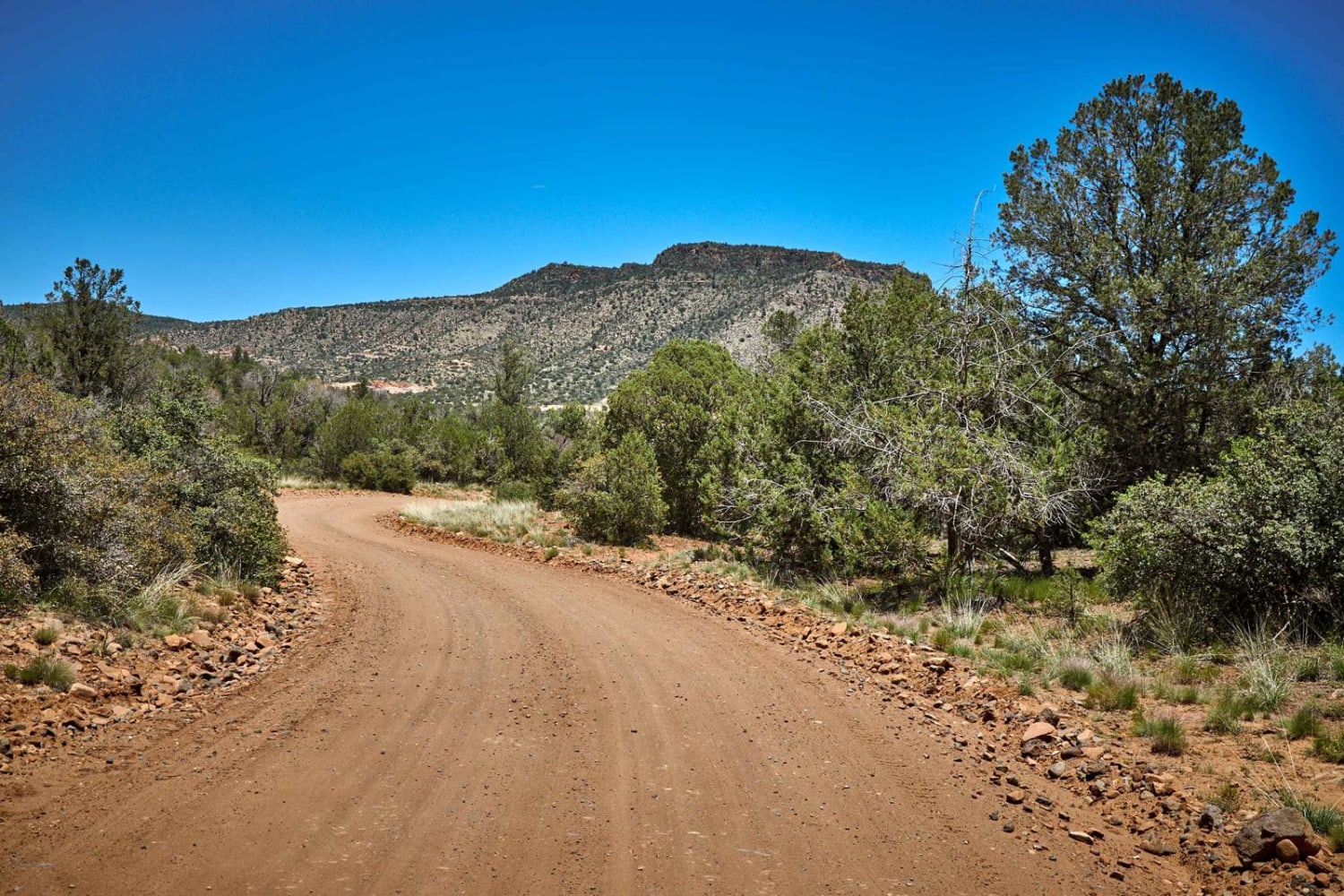
Wide and flowing, the Mine Route Lookout Trail leads from the plateau of the Prescott National Forest up through the Juniper trees to the Matterhorn Mine. An active area where blasting and mining is present, you'll want to be on the lookout for large trucks and tractor-trailers hauling their loads on this road. There are no obstacles along this route, but you'll still want to pay attention to possible wildlife (javelina and deer, mostly) and the sneaky rock or dip that might cause a bit of jostling.
Photos of Mine Route Lookout
Difficulty
This trail is dirt or rocky road with gentle grades. Safe for most 4WD and high-clearance 2WD vehicles. Roads are typically two vehicles wide.
Status Reports
Popular Trails

2048 Single Track

Electric Corridor

Antelope-Honeymoon Trail Central
The onX Offroad Difference
onX Offroad combines trail photos, descriptions, difficulty ratings, width restrictions, seasonality, and more in a user-friendly interface. Available on all devices, with offline access and full compatibility with CarPlay and Android Auto. Discover what you’re missing today!


