Mount Logan Road BLM 1064
Total Miles
1.6
Technical Rating
Best Time
Spring, Summer, Fall
Trail Type
Full-Width Road
Accessible By
Trail Overview
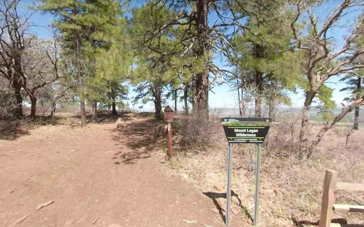
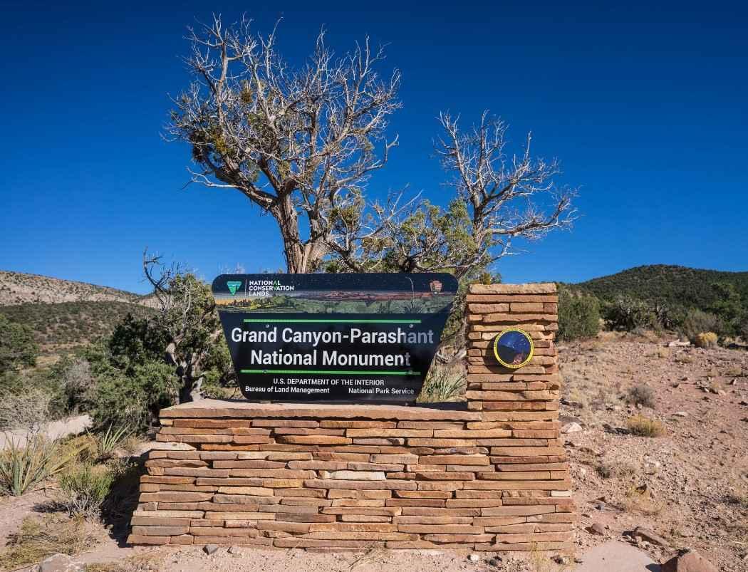
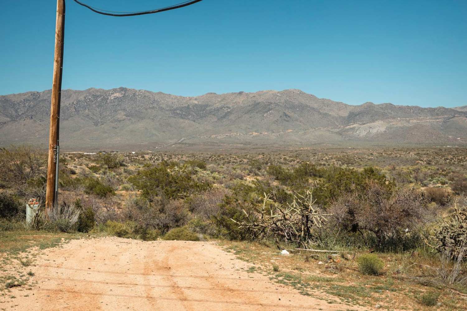
Mount Logan Road BLM 1064 is a 1.6-mile road that leads to a destination hike and is rated 3 of 10. The Mount Logan Road is primarily dirt and rock and winds its way through tall pines and scrub brush. This road is within the Grand Canyon-Parashant National Monument and the Mount Logan Wilderness Area. Geologically speaking, Mount Logan was an active volcanic area until only recently. Today, this spot in northwestern Arizona is sort of a local secret, not appearing on many maps. Just south of Mount Trumbull Wilderness and north of the Grand Canyon, this remote mountain region features basalt ledges breaking ponderosa pine forests on the upper climbs, with pinon and juniper on the lower, steeper rocky slopes. In the northern portion of the area, Mount Logan rises from just short of 5,000 feet within the Wilderness boundaries to 7,966 feet. A large, natural, and colorful amphitheater known as Hell's Hole occupies Logan's western side. The Mount Logan Trail begins at a developed trailhead with parking and a sign-in register. There are no restrooms at the trailhead. The trail to the summit is approximately a half mile and is marked with a trail sign and blazed trees. From the top of Mount Logan's overlook, a scenic view of the large, colorful, naturally eroded amphitheater known as Hell's Hole is visible. Many small rodents inhabit the area, sharing their turf with mule deer, mountain lions, wild turkeys, coyotes, bobcats, spotted skunks, porcupines, and Kaibab squirrels. From Mount Logan, Whitmore Canyon is visible leading to the north rim of the Grand Canyon. There is no water, gas, food, lodging, Wi-Fi, or cell service. Visitors should be advised that towing charges in the event of vehicles becoming stuck or damaged are in the region of $3,000. Areas above 5,000 feet may not be accessible in winter months due to mud and snow.
Photos of Mount Logan Road BLM 1064
Difficulty
The trail consists of loose rocks, dirt, sand, and some slick rock surfaces. Mud holes are possible, but there are no steps higher than 12 inches. 4WD is recommended, and aggressive tires are a plus.
History
Traditionally, indigenous groups of the area referred to the mountain as "Yu-we-wu-guv," which translates to "pines mountain" in Paiute. However, the more recognizable name of Mount Logan originated in 1869, after John Wesley Powell named the peak after a senator from Illinois.
Status Reports
Mount Logan Road BLM 1064 can be accessed by the following ride types:
- High-Clearance 4x4
- SUV
- SxS (60")
- ATV (50")
- Dirt Bike
Mount Logan Road BLM 1064 Map
Popular Trails
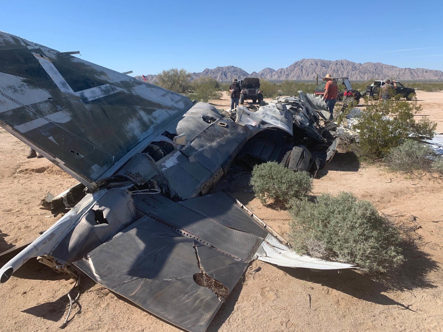
F-4 Phantom Crash Site Spur
Wellton to Ligurta Offroad Spur
Lower Challenging Red Raven
The onX Offroad Difference
onX Offroad combines trail photos, descriptions, difficulty ratings, width restrictions, seasonality, and more in a user-friendly interface. Available on all devices, with offline access and full compatibility with CarPlay and Android Auto. Discover what you’re missing today!
