Mud Puddle Lane
Total Miles
3.1
Technical Rating
Best Time
Spring, Summer, Fall
Trail Type
Full-Width Road
Accessible By
Trail Overview
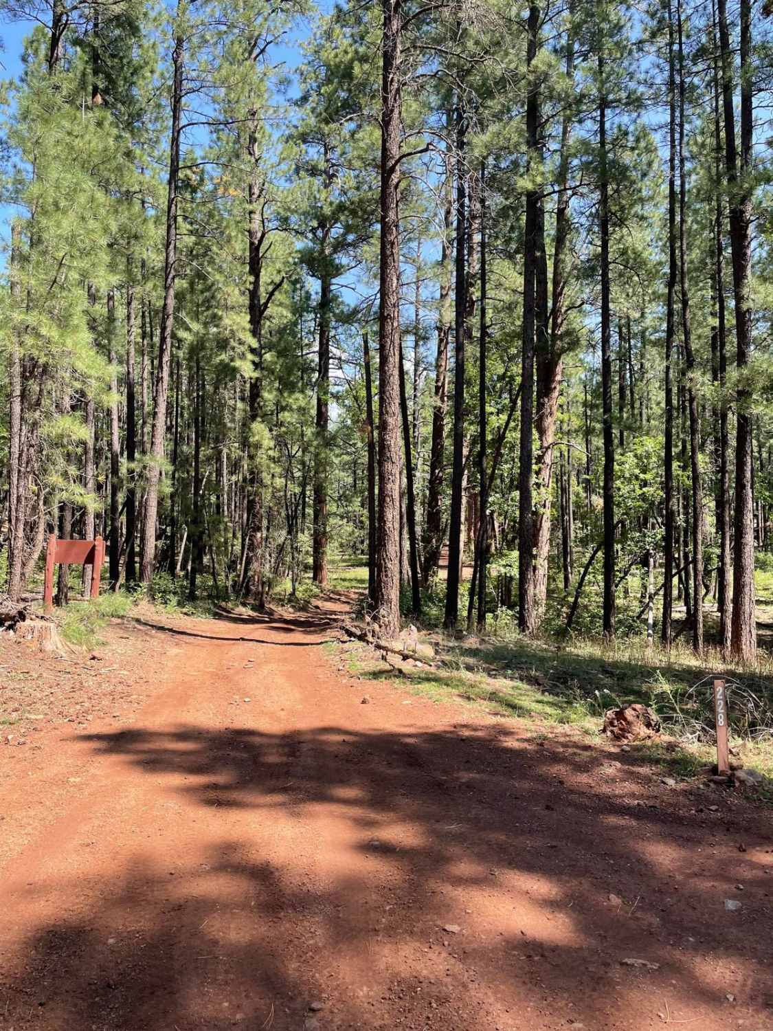
This trail is Forest Service Road 228 and connects Casper Park and FR 226, which are both Guided Trails. The southern part of this trail is a dirt road with a handful of areas that may hold mud puddles. As you continue North, the mud puddles get bigger and the trail's surface gets more rockier. Be cautious while going through some of the deep mud holes with standing water. There are hidden rocks under the bigger puddle surfaces that could blow a tire if you are going too fast. These bigger mud puddles can cover the entire trail's surface for a good 10 to 15 yards. As you approach Jones Tank, there are deep ruts to watch out for. The area around Jones Tank is another location where deep mud puddles can be present. After a good rain, this area looks like it could be flooded because Jones Tank is right next to the trail on the South side. After passing Jones Tank, the trail becomes much more rocky. The rockiest section is past a Forest Service gate. Please shut the gate behind you. There are large exposed rock gardens after this gate. So, pick your lines wisely to avoid bumps and scrapes to your rig. From there, the trail becomes less rocky and ends to the North at Casper Park Guided Trail.
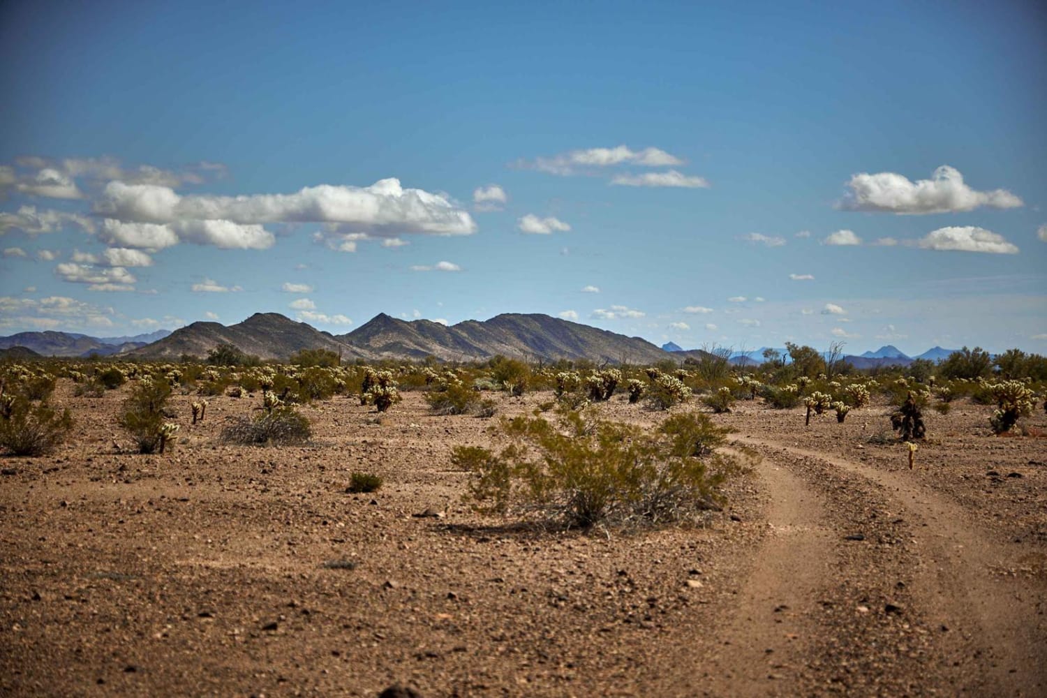
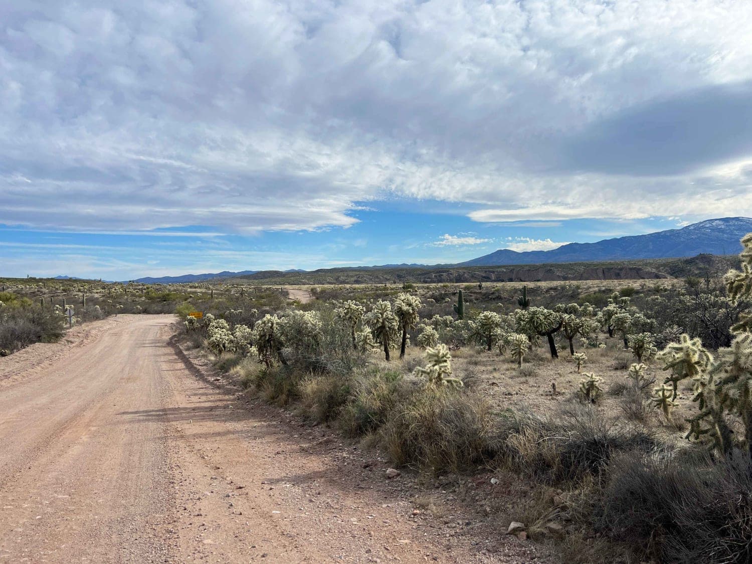
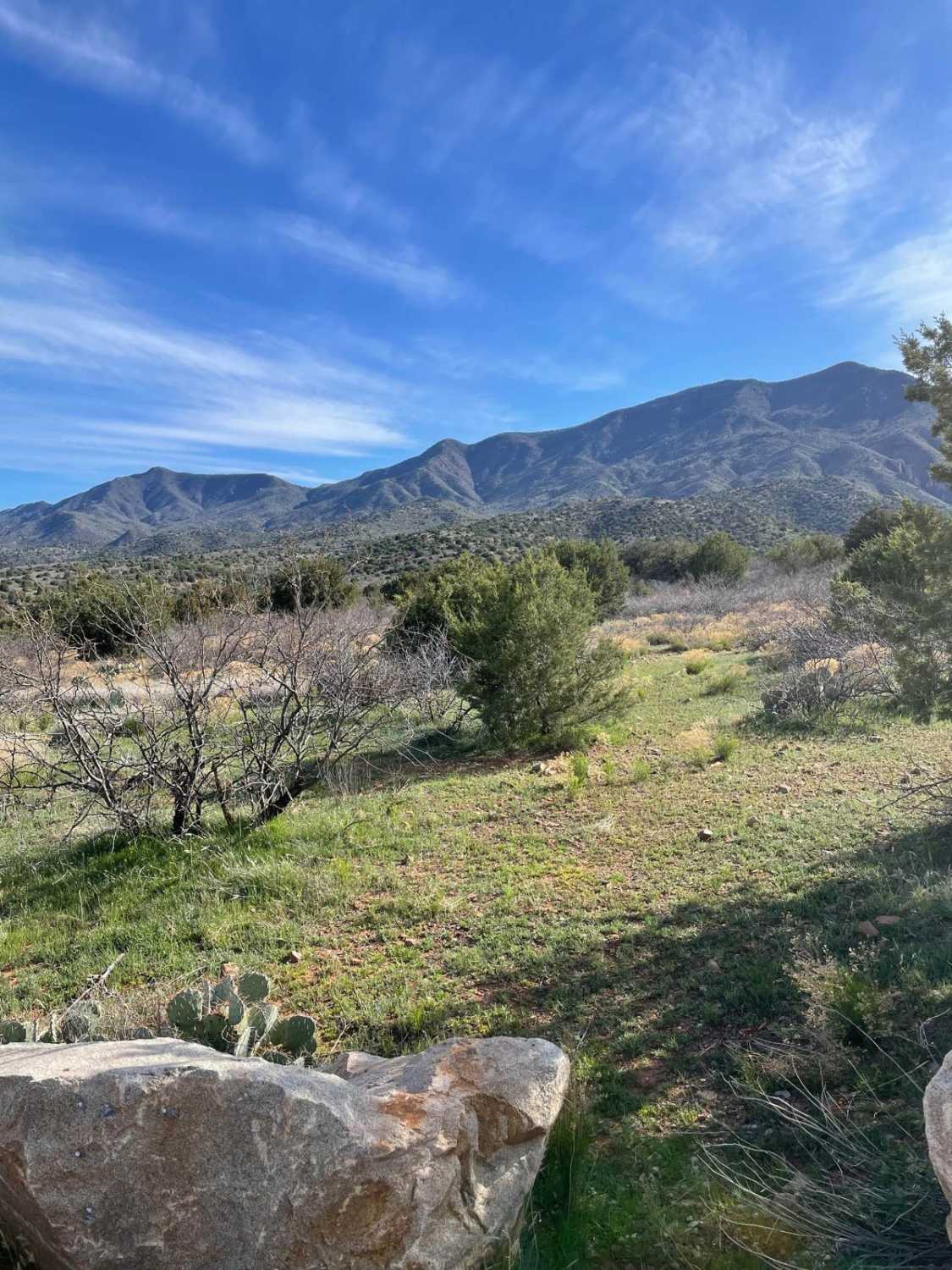
Photos of Mud Puddle Lane
Difficulty
Expect an uneven, rocky, and rutted dirt trail with the potential for mud puddle crossings up to a foot deep.
Popular Trails

Western Red Raven Road

North Cascabel Road

Powerline Problem

Quail Spring
The onX Offroad Difference
onX Offroad combines trail photos, descriptions, difficulty ratings, width restrictions, seasonality, and more in a user-friendly interface. Available on all devices, with offline access and full compatibility with CarPlay and Android Auto. Discover what you’re missing today!


