Muldoon's Dead End
Total Miles
2.8
Technical Rating
Best Time
Fall, Spring
Trail Type
High-Clearance 4x4 Trail
Accessible By
Trail Overview
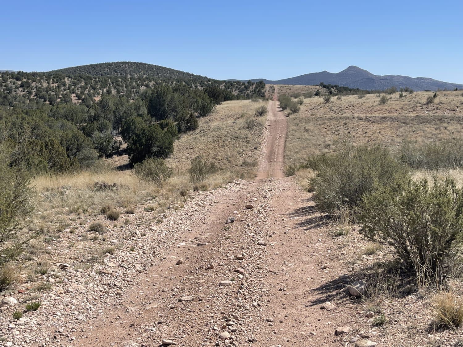
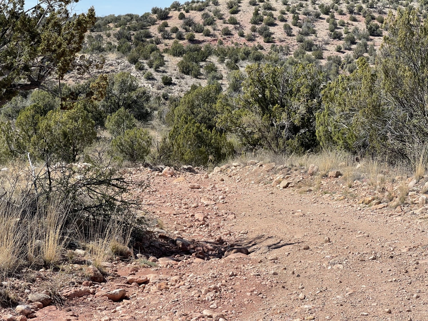
This trail has a connecting loop but ends right before a sharp drop-off. There are a few admirable dispersed campsites protected by large Juniper trees. For a short time, the trail follows along the gas pipeline until one sees a hill that appears to be a bit too steep and goes on for a bit too long. This is where the trail bypasses those hills and runs along the dry riverbed. There are some seriously steep and off-camber transitions into these river beds and one relatively long, quite loose steep hill climb before arriving near the end. One bar LTE cell service in and out.
Photos of Muldoon's Dead End
Difficulty
Long steep rocky hill climb with turns and some deep transitions through the washes.
Status Reports
Muldoon's Dead End can be accessed by the following ride types:
- High-Clearance 4x4
- SxS (60")
- ATV (50")
- Dirt Bike
Muldoon's Dead End Map
Popular Trails

Picacho Peaks Singletrack
Eloy Canal Trail
Spur Loop to Chloride AZPT Connector (Northeast)
The onX Offroad Difference
onX Offroad combines trail photos, descriptions, difficulty ratings, width restrictions, seasonality, and more in a user-friendly interface. Available on all devices, with offline access and full compatibility with CarPlay and Android Auto. Discover what you’re missing today!
