Nemo Spring
Total Miles
5.0
Technical Rating
Best Time
Fall, Spring
Trail Type
50" Trail
Accessible By
Trail Overview
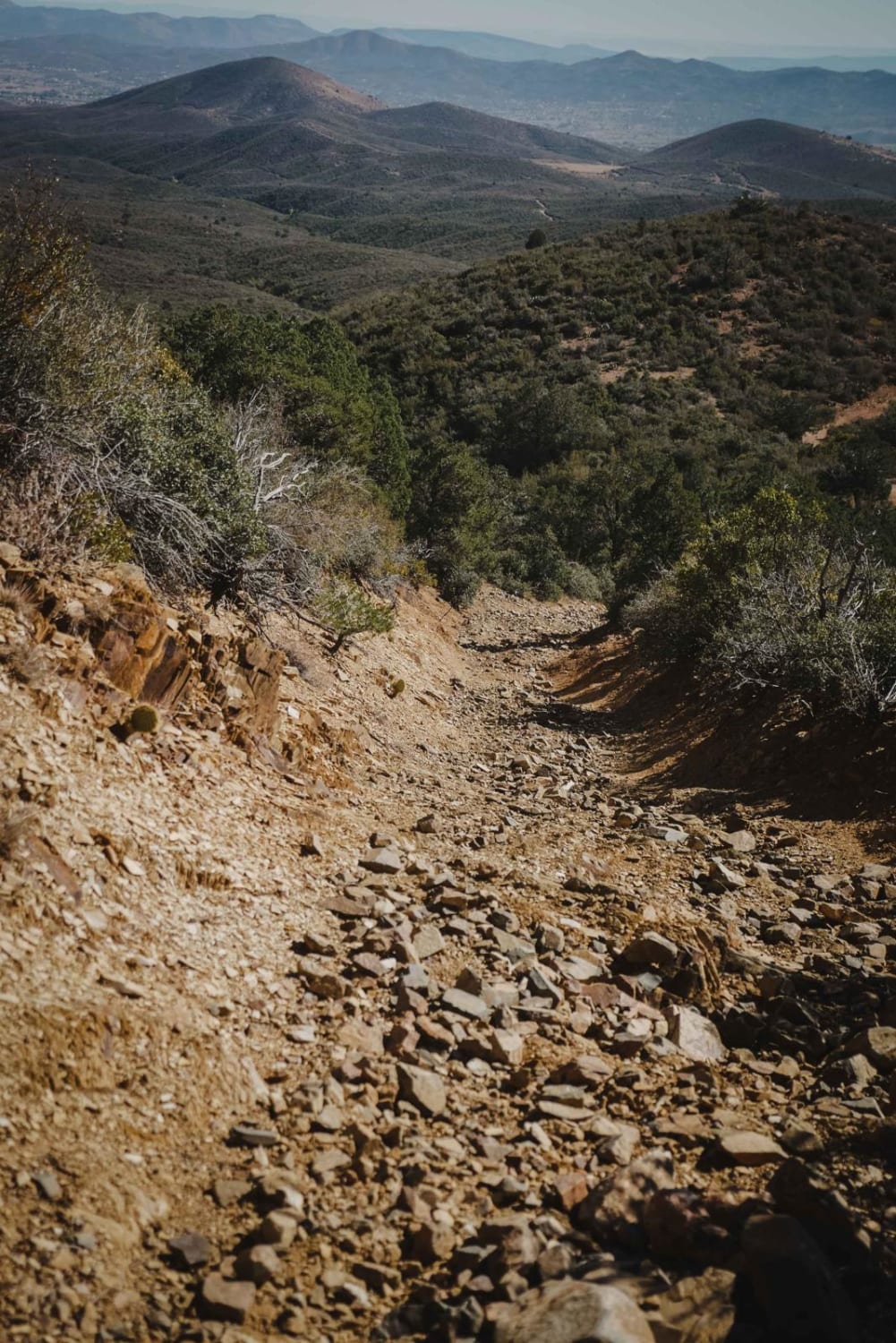
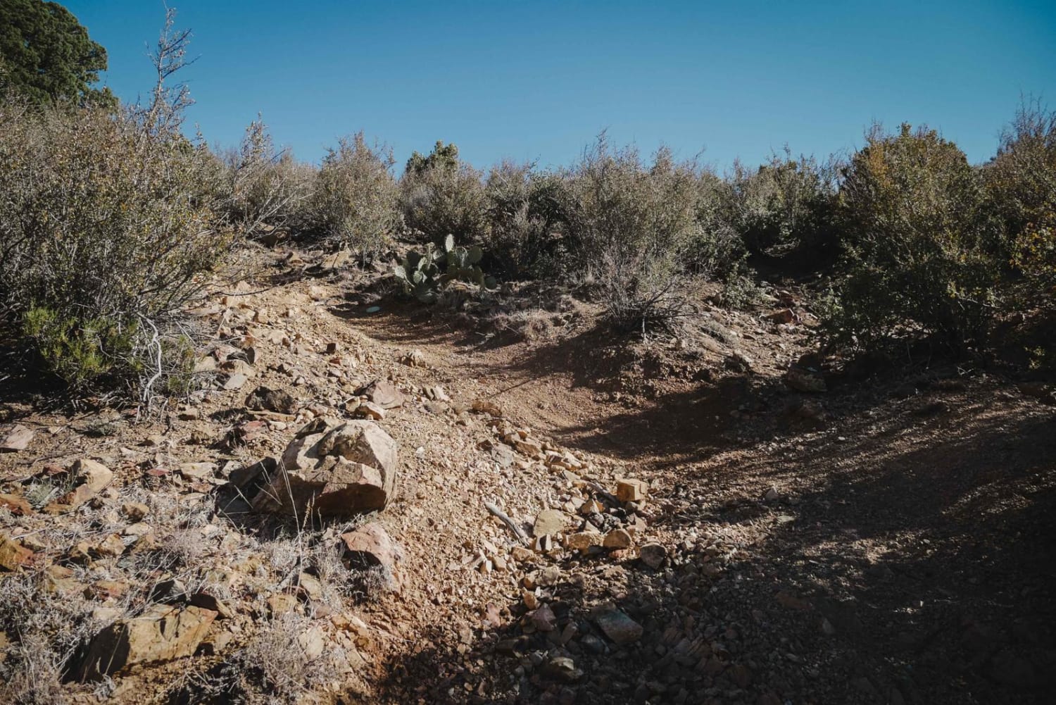
Nemo Spring is an intermediate 50-inch trail, full of small and sharp cobble rock, boulders, and chunky rock that make for a very bumpy ride. The surface of the trail is covered in rock almost the entire time. There are several very rocky and loose hill climbs and descents that sometimes are steep. There is a section in the middle of the trail that gets narrow and appears to only be ridden by dirt bikes and would be too narrow for an ATV. It narrows when the trail veers left from the main trail at an unmarked intersection (when riding north to south), and this turn probably gets missed by most ATV riders and has narrowed over time. It's helpful to have a GPS track to not miss this turn. It meets back up to a wider ATV track, followed by a really long hill climb with small rocky ledges. This climb would be really hard for the inexperienced rider or if your tires don't have good traction. It gains 1,750 feet in elevation and loses 500 feet over 5.4 miles. The trail has a few unmarked intersections that aren't obvious and has nice views of the Prescott Valley and surrounding mountains. It's overall a pretty challenging trail because of so many rocks.
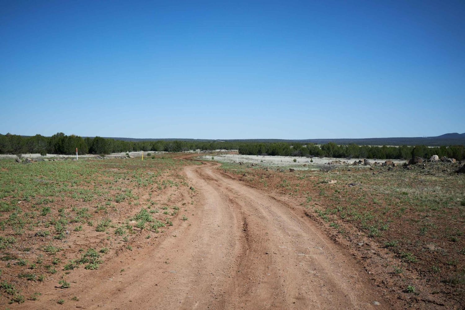
Photos of Nemo Spring
Difficulty
This trail is rated a 5 for dirt bikes and would be even more difficult for an ATV due to so many rocks, steep climbs, and rock ledges. The middle of the trail is likely not passable for an ATV due to it becoming too narrow over time.
Status Reports
Nemo Spring can be accessed by the following ride types:
- ATV (50")
- Dirt Bike
Nemo Spring Map
Popular Trails

Clear Water Springs Trail
Tri-Metals Mine
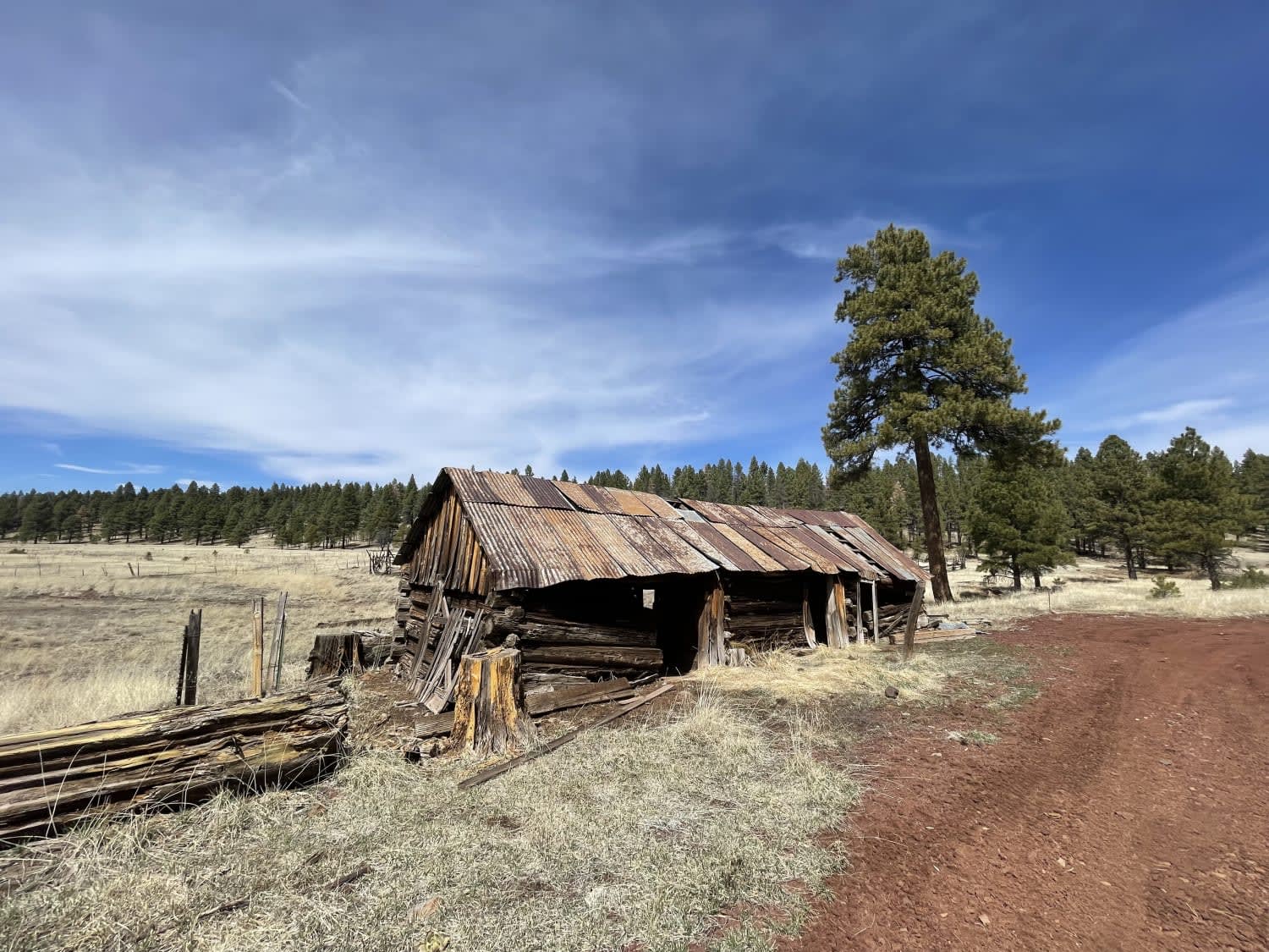
Sunflower Flat and JD Cabin
The onX Offroad Difference
onX Offroad combines trail photos, descriptions, difficulty ratings, width restrictions, seasonality, and more in a user-friendly interface. Available on all devices, with offline access and full compatibility with CarPlay and Android Auto. Discover what you’re missing today!
