North Entrance to French Lily Mine
Total Miles
0.3
Elevation
1,026.82 ft
Duration
0.5 Hours
Technical Rating
Best Time
Spring, Summer, Fall
Trail Overview
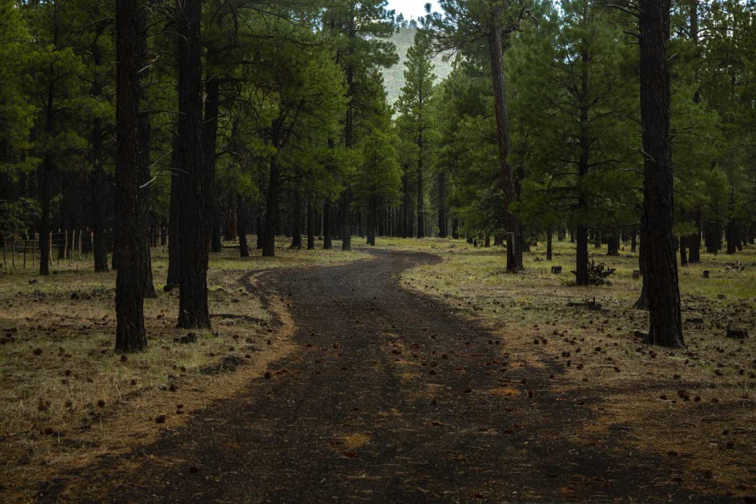
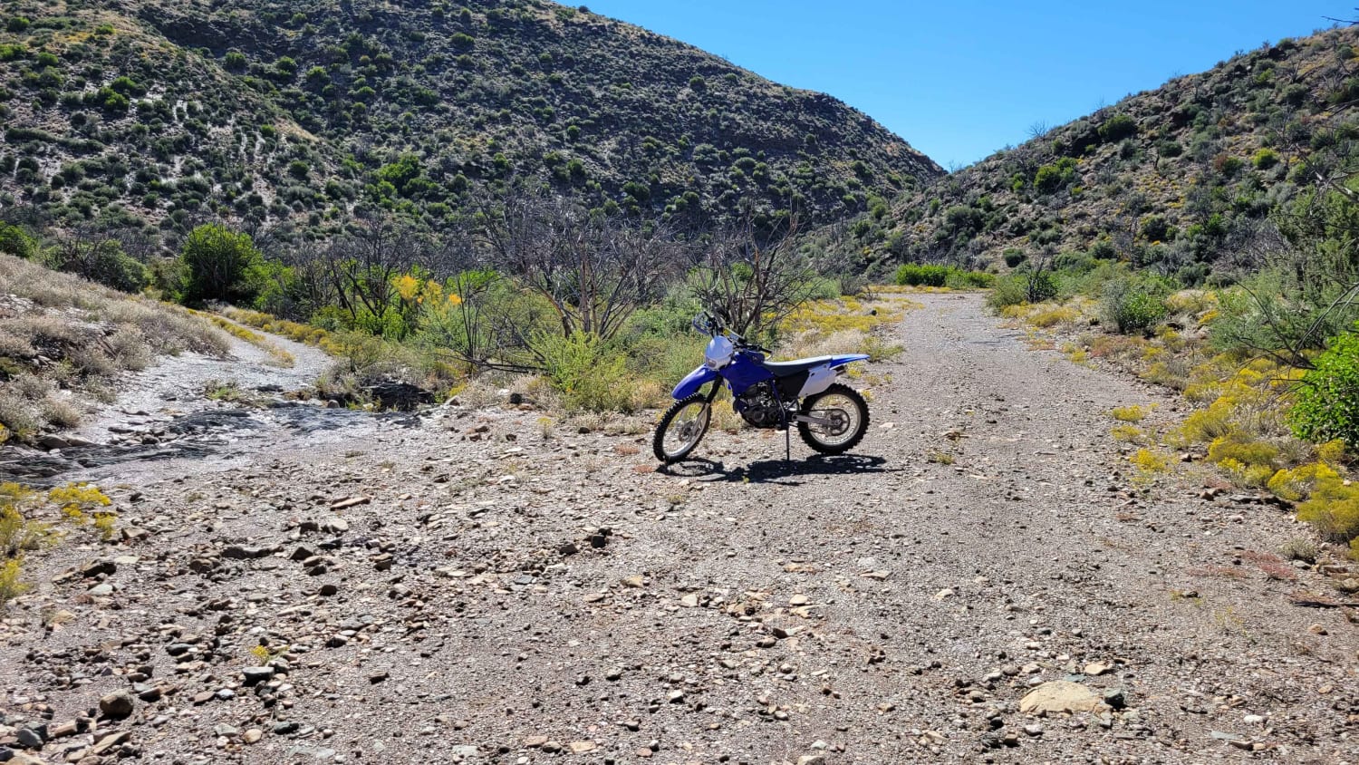
This short trail is an alternative entrance to the French Lily Mine mill site. The first part of this trail starts from the north and is easygoing until you pass a windmill and corral. After these structures, the trail then becomes more technical with a huge rut in the middle of the trail. This rut is over 18 inches deep and will cause you trouble if you slip into it. You must straddle this rut or it may high-center you. This trail is marked as Forest Service Road 688.
Photos of North Entrance to French Lily Mine
Difficulty
There's a big, long rut in the middle of the trail over 18 inches deep.
History
The French Lily Mine was in operation from 1936 to 1938 with primary ore of copper, lead, zinc, and gold. This was an underground mine that still has the main mining shaft present. This shaft is said to be 200 feet deep and 1,025 feet long.
Status Reports
Popular Trails

Section 16 Hill

Red Pockets Road & Poverty Cabin (1081)

Cramm Trail

New River Trail
The onX Offroad Difference
onX Offroad combines trail photos, descriptions, difficulty ratings, width restrictions, seasonality, and more in a user-friendly interface. Available on all devices, with offline access and full compatibility with CarPlay and Android Auto. Discover what you’re missing today!

