North FS 80
Total Miles
2.2
Technical Rating
Best Time
Spring, Summer, Fall
Trail Type
Full-Width Road
Accessible By
Trail Overview
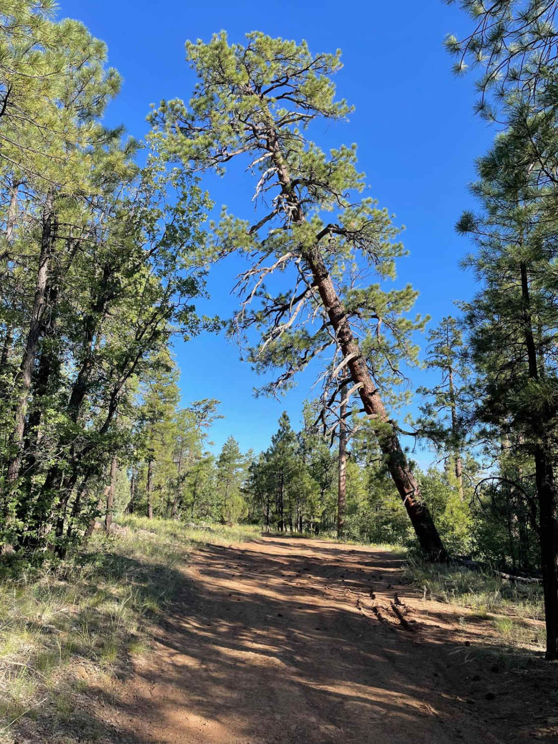
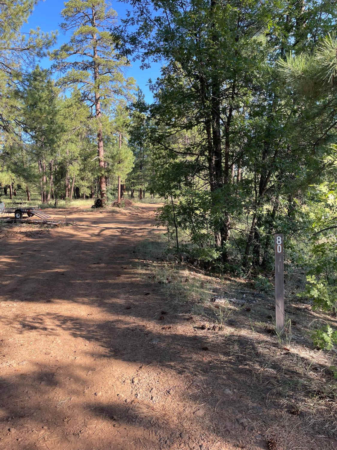
This Forest Service road starts adjacent to the I-17. The first mile you will be traveling close to the freeway that will be on your right. The trail's surface on this section is dirt with rocky sections. There are some areas in the first mile that are prone to having mud holes. As the trail veers off to the West, the width of the trail narrows and bigger rocks start peppering the trail's surface. The trail will take you past a sign called Robbers Roost. This site next to the trail looks like an old building foundation that is nearly unrecognizable. From the Robbers Roost sign, the trail goes a short way and virtually disappears, which marks the ending point.
Photos of North FS 80
Difficulty
Expect an uneven, rutted dirt trail with rocky areas and potential for mud holes.
Status Reports
North FS 80 can be accessed by the following ride types:
- High-Clearance 4x4
- SUV
- SxS (60")
- ATV (50")
- Dirt Bike
North FS 80 Map
Popular Trails
Rad Hat Tank Boulder Field
Back to the Corner

Fire Point - FR223
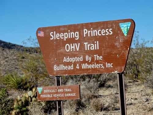
Sleeping Princess
The onX Offroad Difference
onX Offroad combines trail photos, descriptions, difficulty ratings, width restrictions, seasonality, and more in a user-friendly interface. Available on all devices, with offline access and full compatibility with CarPlay and Android Auto. Discover what you’re missing today!
