Rad Hat Tank Boulder Field
Total Miles
0.3
Technical Rating
Best Time
Fall, Spring
Trail Type
50" Trail
Accessible By
Trail Overview
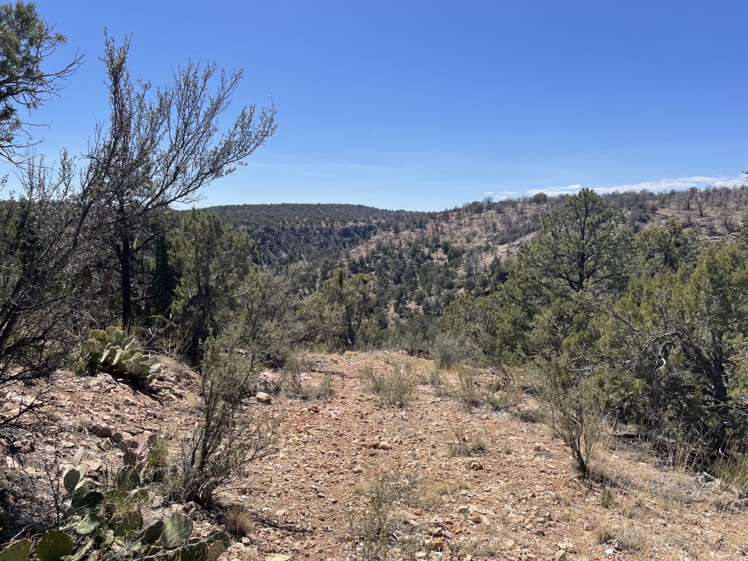
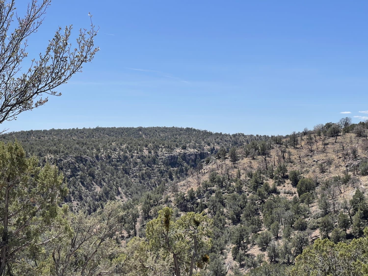
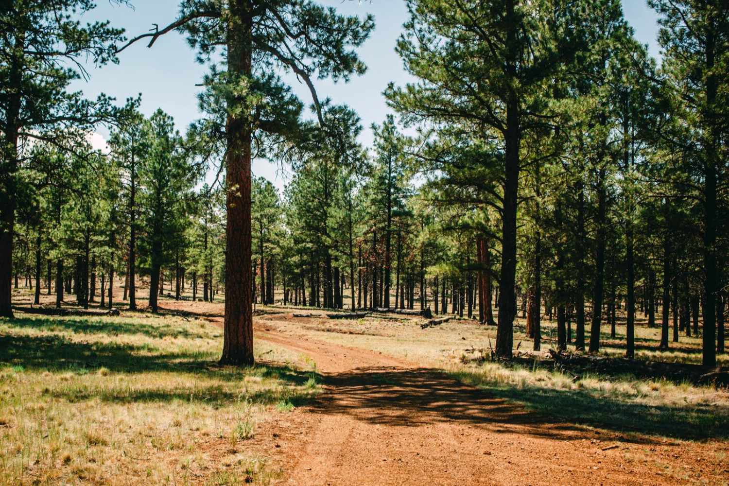
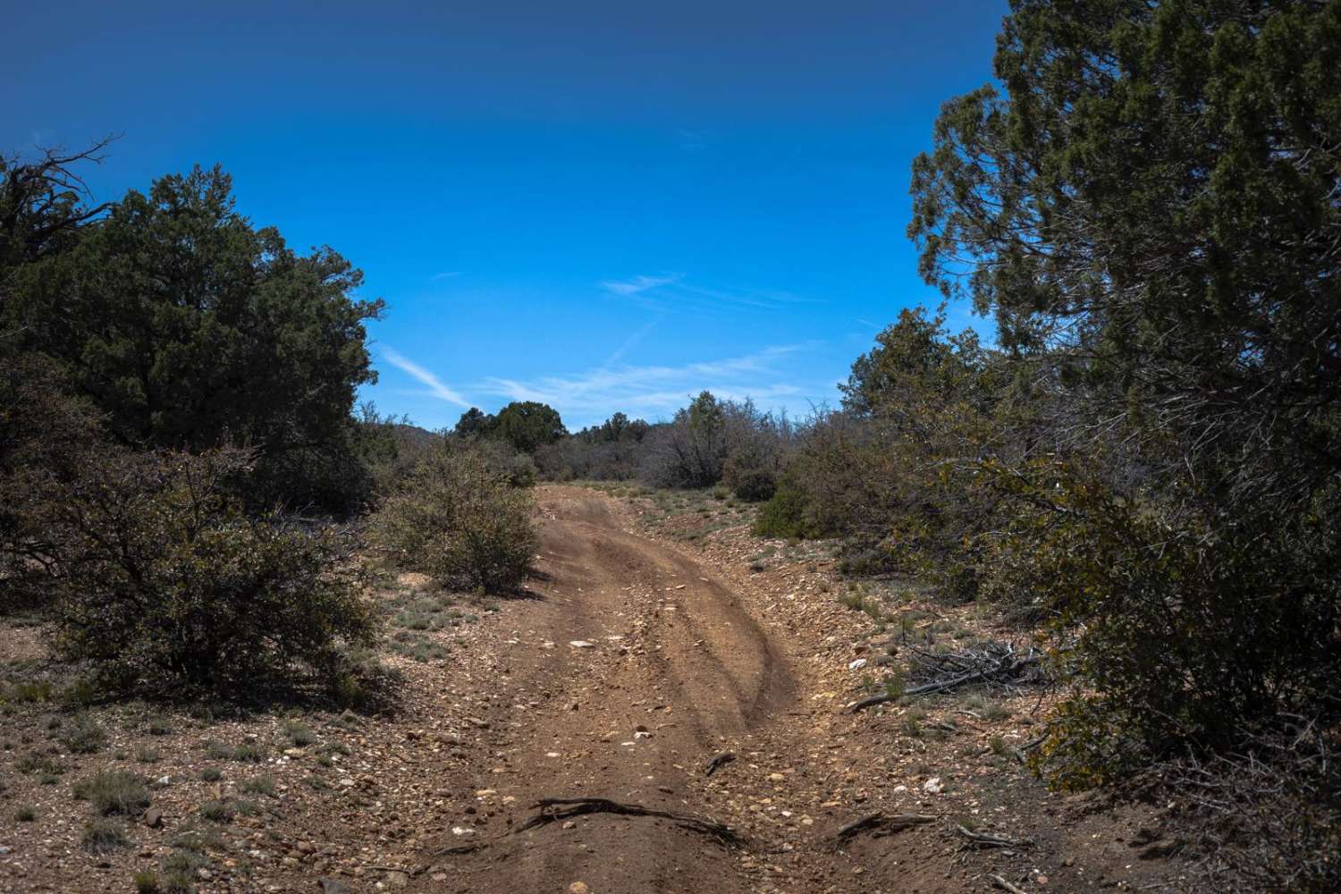
This seemingly never used out and back appears to have become the main route for livestock in the area. The turnout for the Red Hat Mine has been absorbed by the forest and no longer exists. Shrubs are beginning to grow in the middle of the trail. If the explorer is just really wanting to tear up their tires and have a difficult downhill off-camber turnaround, then go for it. Otherwise, it's probably best to pass on this trail. No cell service
Photos of Rad Hat Tank Boulder Field
Difficulty
Rocky, narrow becoming overgrown, no real reason to take this trail other than for curiosities sake.
Status Reports
Rad Hat Tank Boulder Field can be accessed by the following ride types:
- ATV (50")
- Dirt Bike
Rad Hat Tank Boulder Field Map
Popular Trails

Twin Peaks View
AZ Peace Trail Salome to Yuma
The onX Offroad Difference
onX Offroad combines trail photos, descriptions, difficulty ratings, width restrictions, seasonality, and more in a user-friendly interface. Available on all devices, with offline access and full compatibility with CarPlay and Android Auto. Discover what you’re missing today!
