Northern Last Chance Canyon Road
Total Miles
8.8
Technical Rating
Best Time
Fall, Spring
Trail Type
Full-Width Road
Accessible By
Trail Overview
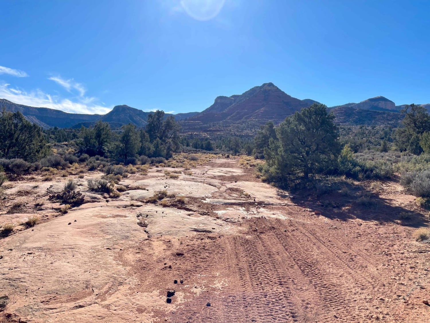
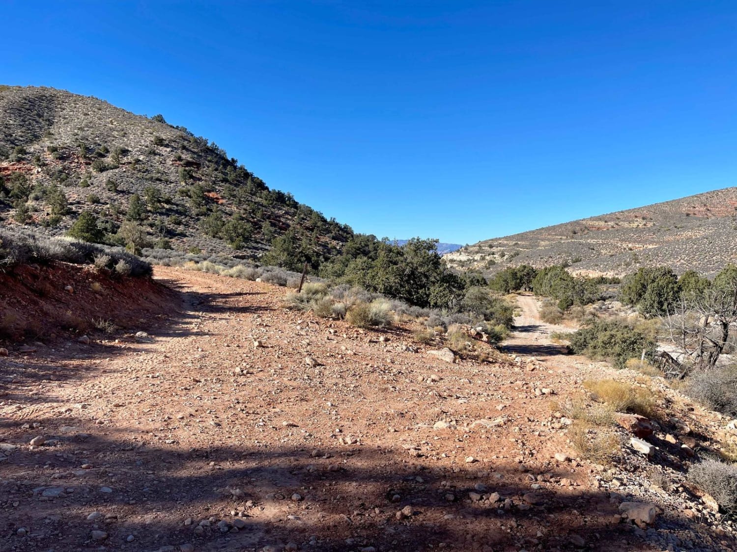
This scenic and challenging route begins at a lower elevation to the north and crosses back and forth along the wash as it begins to climb in elevation. There are loose rocky hill climbs, off-camber wash crossings, and deep washouts. The rocks are sharp and in awkward places. Wash crossings may be even more difficult after heavy rain. The canyon walls line both sides of the trail as you claw your way upward. Once out of the wash area, the route narrows, and the turns become tighter as you work your way up. Eventually, you end up in a dense forest of pines and oak. This section is easier with deep, rutted/bermed turns. The ruts become very deep as you get even higher up, and water-diversion hills are much taller. This area is very remote, and help is a long way away. Be sure to bring a satellite communication device and be sure somebody knows your travel plans. There is no cell service out here, so plan and download your offline maps and bring plenty of water. It is a desert, after all.
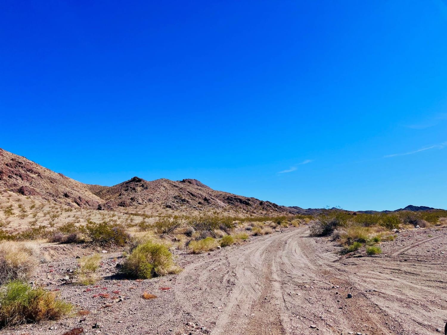
Photos of Northern Last Chance Canyon Road
Difficulty
This trail is usually appropriate for all high-clearance 4x4s. However, in winter, the canyon section can be icy due to shade from high cliffs. South of Hudson Point on top of the Shivwitz Plateau, BLM 1071 is less traveled but leads to several camping spots at the top of the Grand Wash Cliffs that offer 80-mile views to the west. This section should be passable for all high-clearance 4x4s.
History
The Arizona Strip is a vast arid region on the north side of the Grand Canyon that encompasses a variety of landscapes and climates within its nearly 3 million acres, as well as centuries of human history. It is 200 miles long and accessed only by two major highways on either end. Because of its lack of easy access, the Strip remains one of the most remote and least-visited parts of the state.
Status Reports
Northern Last Chance Canyon Road can be accessed by the following ride types:
- High-Clearance 4x4
- SUV
- SxS (60")
- ATV (50")
- Dirt Bike
Northern Last Chance Canyon Road Map
Popular Trails

High Gates North Road

Another Wash Trail BLM 9060

McNary Mine Road
The onX Offroad Difference
onX Offroad combines trail photos, descriptions, difficulty ratings, width restrictions, seasonality, and more in a user-friendly interface. Available on all devices, with offline access and full compatibility with CarPlay and Android Auto. Discover what you’re missing today!


