Oasis Trail
Total Miles
2.6
Technical Rating
Best Time
Spring, Fall, Winter
Trail Type
Full-Width Road
Accessible By
Trail Overview
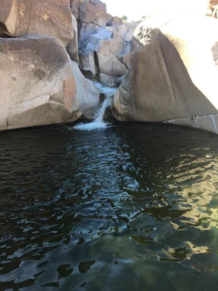
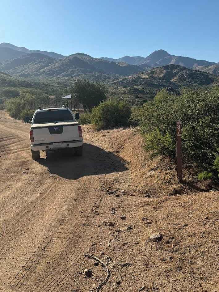
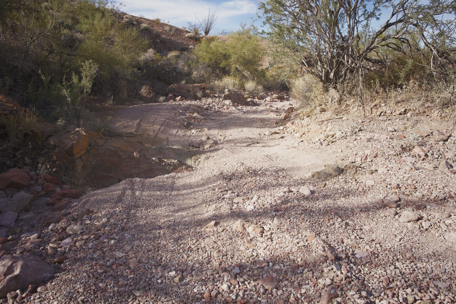
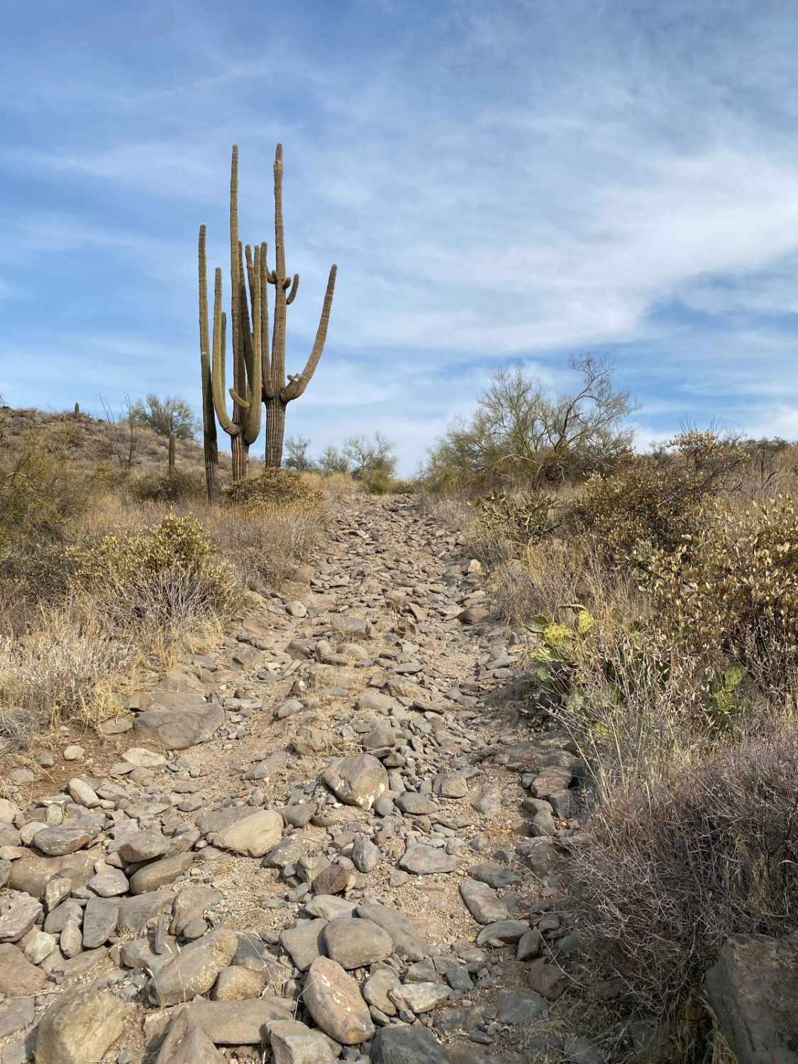
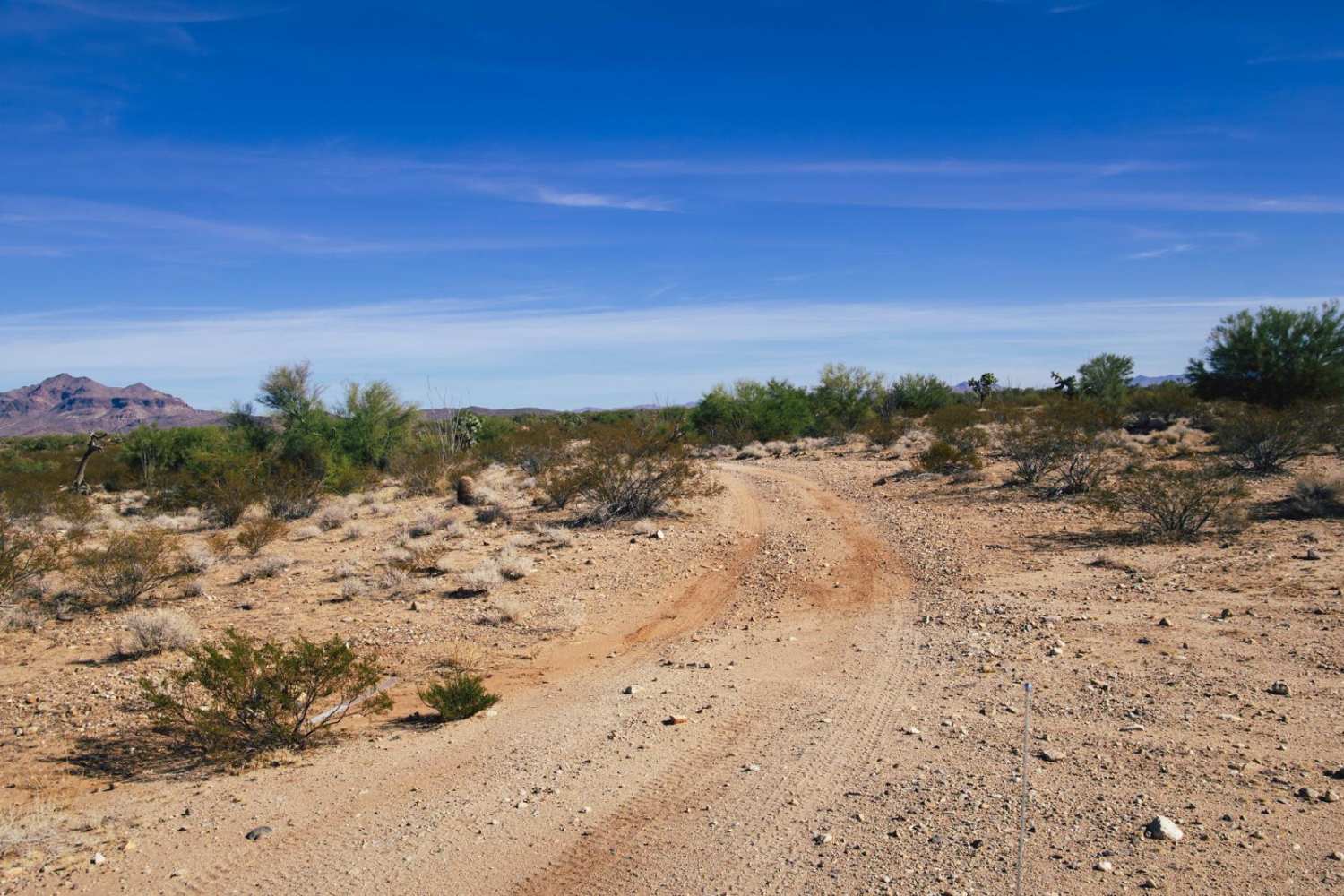
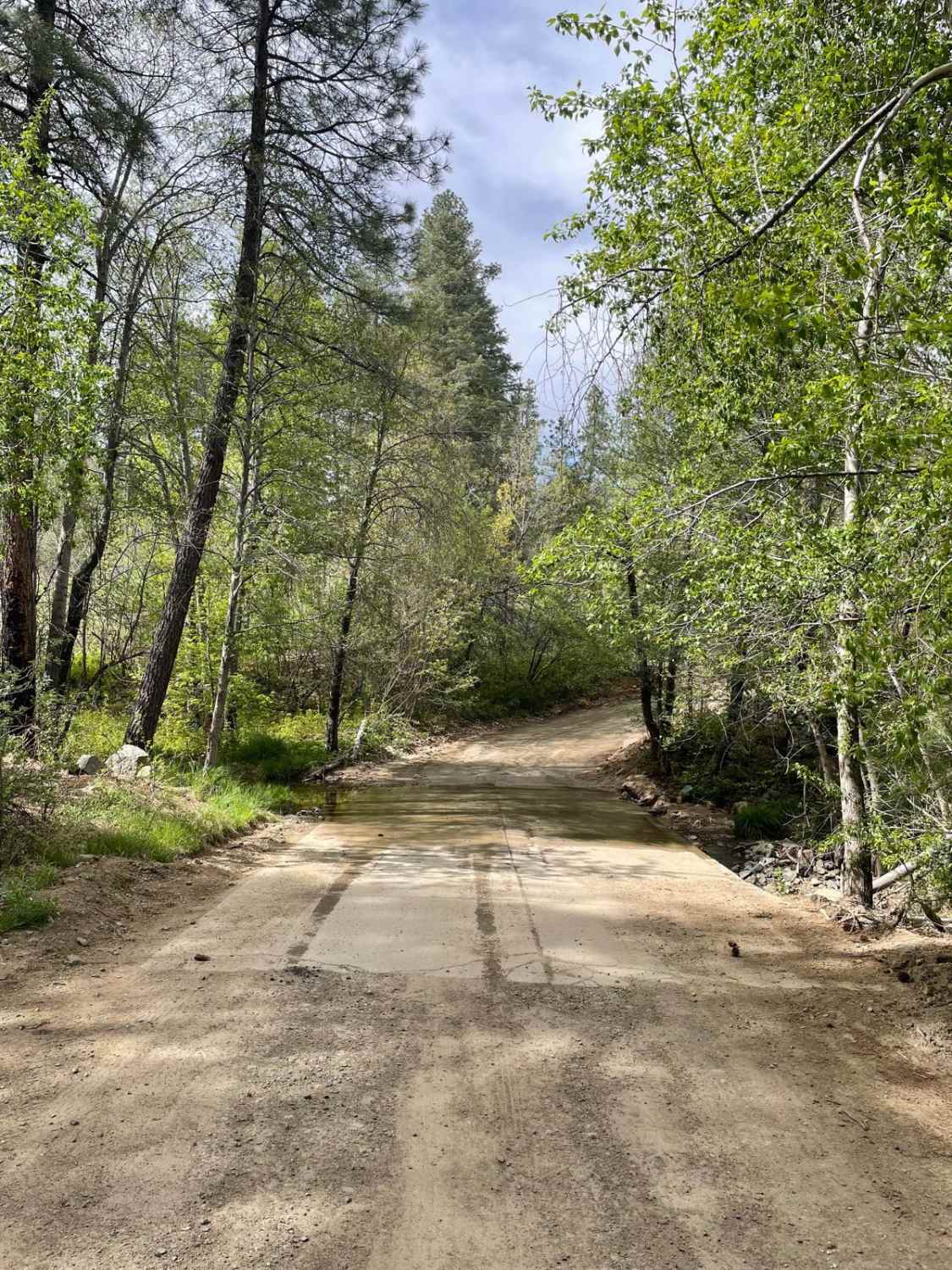
The Oasis Trail (FR37) is a 2.5-mile side trail from New River Trail (FR41). It ends at a beautiful oasis of waterfalls and pools, some of which are big enough to swim in. The trail begins at the intersection of FR41 and FR37 near a water tank with a large solar panel. On the map, this is called, "Road Junction Windmill," but the windmill has been replaced by a solar-powered pump. From there, you will head north on FR37 and immediately cross New River, which can be anywhere from completely dry to 18 inches deep. Drive directly across, and the bottom is rocky. Veer too far off to the right (upstream to the east) and it is easy to get stuck in the sandy bottom. Once you cross New River, the road continues north on a crushed granite fire road that can be rocky and washed out--nothing too severe. The entire road can be driven in 2WD. Along the west side of the road are many burnt trees from the 2017 Brooklyn Fire named after a nearby mountain peak. At about 2.5 miles, there will be a hairpin turn-off on the right that is quite easy to miss. It will briefly head backward along the road before pulling out on a hilltop where you should park. From there, the pools and waterfalls are downhill and east-southeast. Please see the image with the satellite view and two pin drops; the pin on the left is where you park. The pin on the right is where the largest pool is located. There is no trail, so you will just have to find your way down to the river, which will require going through some brush and climbing rock formations. It is quite strenuous and requires great balance to reach the water and climb along it as it weaves through rock formations. It is not recommended to go alone as it would be easy to slip and need help. The payoff is amazing, with many small to large waterfalls and pools of varying depths. There are hundreds of yards of them as the creek wraps around a large rock formation. Water flows much of the winter and spring but will usually dry up in the summer. The best time to visit would be March and April for a good flow of water and warm enough temperatures to take a dip in the pools. There is no cell service. There is a ranch to the north where the trail dead-ends. Other than the ranchers, you will find there is little traffic, so travel with a second vehicle if possible. This is especially true in the summertime when the area can reach extremely hot temperatures.
Photos of Oasis Trail
Difficulty
The most difficult thing can be crossing New River, which after rains can be up to 18 inches deep.
Status Reports
Oasis Trail can be accessed by the following ride types:
- High-Clearance 4x4
- SUV
- SxS (60")
- ATV (50")
- Dirt Bike
Oasis Trail Map
Popular Trails
King Road to Pipeline
160C - Eagle Viewpoint
The onX Offroad Difference
onX Offroad combines trail photos, descriptions, difficulty ratings, width restrictions, seasonality, and more in a user-friendly interface. Available on all devices, with offline access and full compatibility with CarPlay and Android Auto. Discover what you’re missing today!