Oquer Canyon
Total Miles
1.5
Elevation
2,738.64 ft
Duration
0.5 Hours
Technical Rating
Best Time
Spring, Summer, Fall
Trail Overview
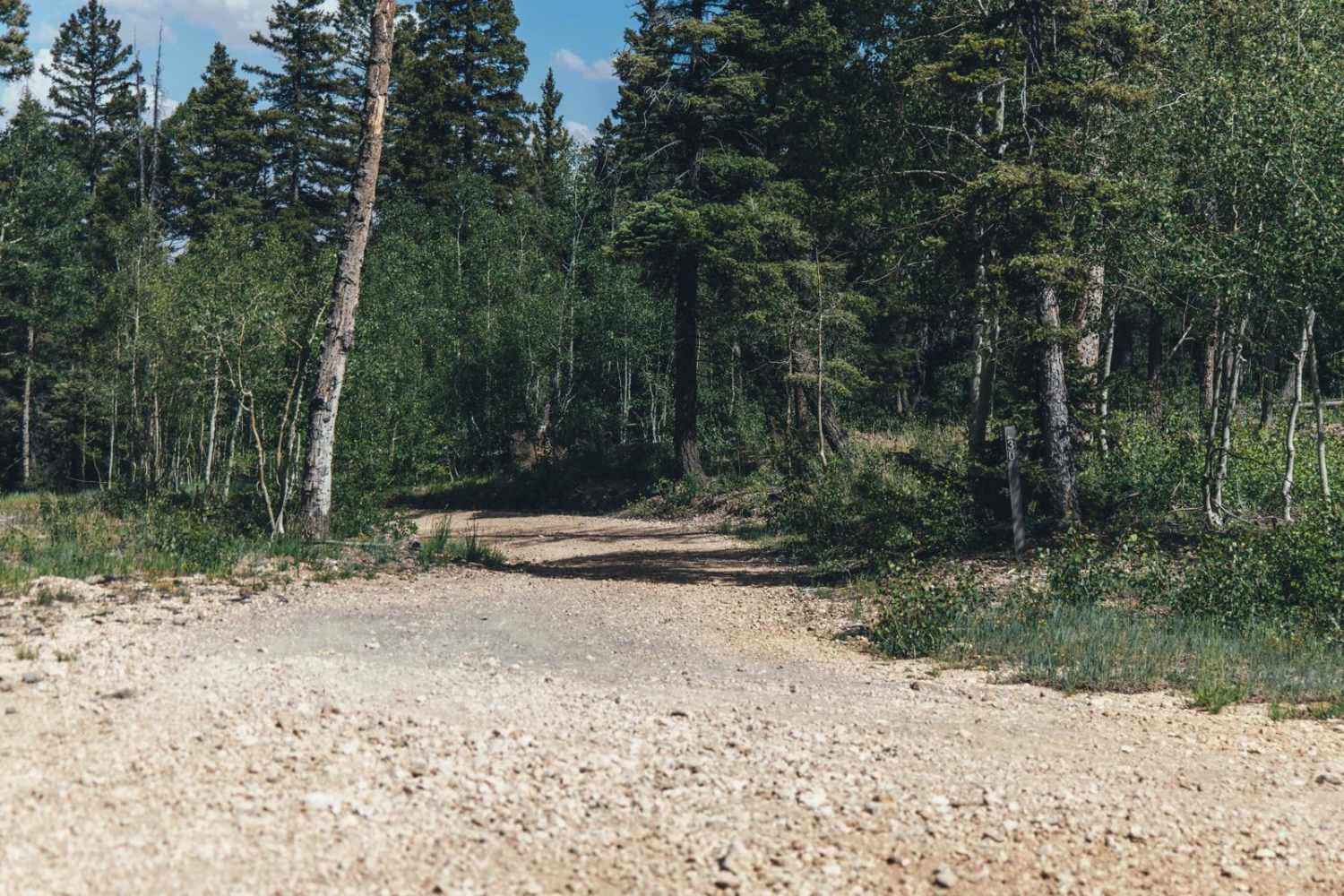
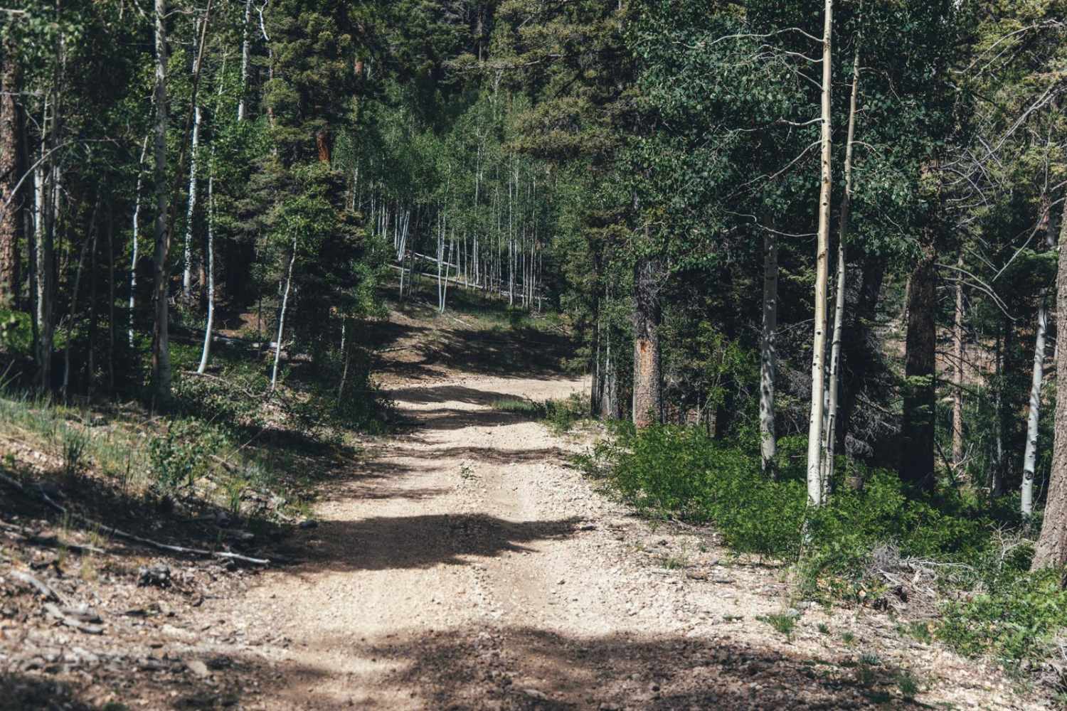
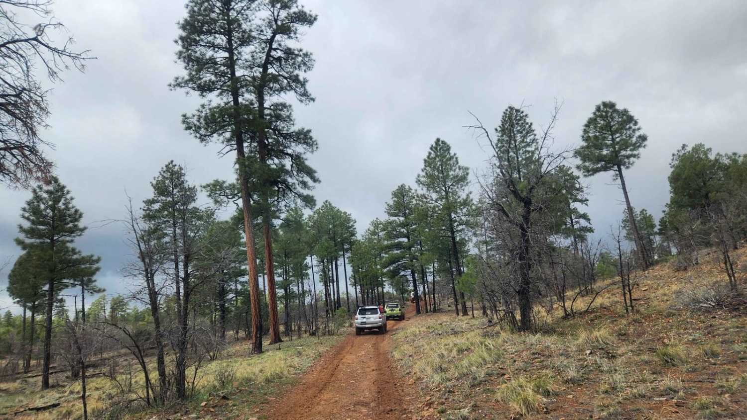
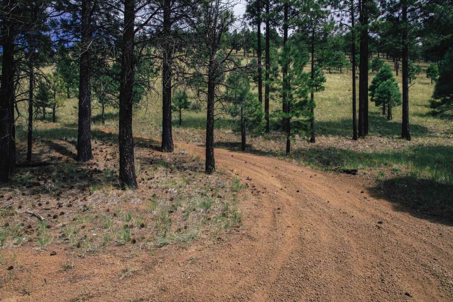
Oquer Canyon is an interesting dirt and gravel trail that heads from the inner Kaibab National Forest towards Arizona Highway 67 leading to Grand Canyon National Park, North Rim. The trail itself is one lane with minimal places to pass. You're on a not-so-scary shelf road to the canyon bottom, where you're greeted by a large open grassy campsite. The trail is lined by ponderosa pines and has many offshoots into the woods. With no service, you'll want offline maps downloaded. There are no obstacles on this trail, but the downslope still might prove challenging during monsoon season or after a rain event.
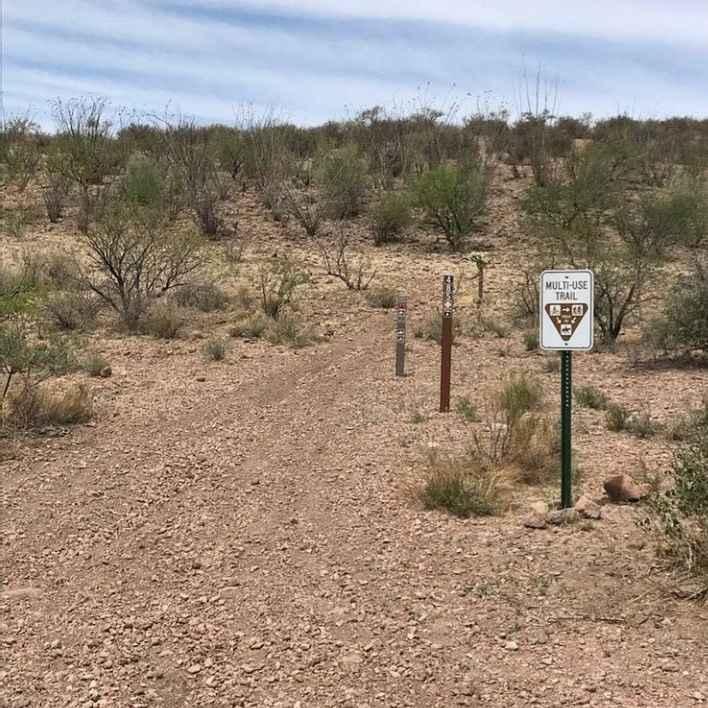
Photos of Oquer Canyon
Difficulty
This is an unmaintained road that has a downslope to it. One lane, with minimal places to pass, this road might erode and have rain damage during monsoon season. This is a canyon, so expect water to gather and flow.
Status Reports
Popular Trails
Hole-n-Wall Canyon - Segmiller Mountain
The onX Offroad Difference
onX Offroad combines trail photos, descriptions, difficulty ratings, width restrictions, seasonality, and more in a user-friendly interface. Available on all devices, with offline access and full compatibility with CarPlay and Android Auto. Discover what you’re missing today!
