Palomas Flats
Total Miles
6.2
Technical Rating
Best Time
Spring, Winter
Trail Type
Full-Width Road
Accessible By
Trail Overview
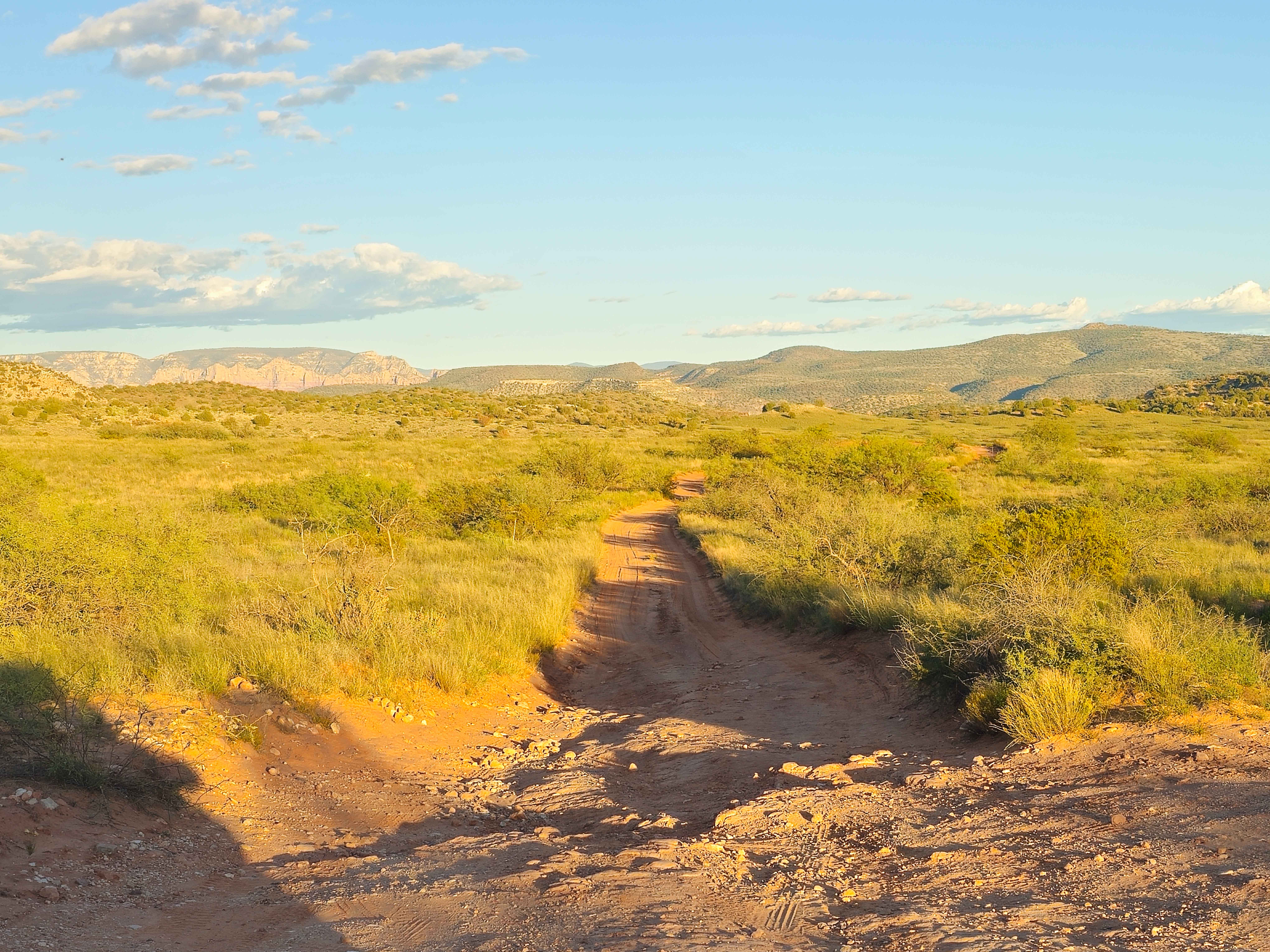
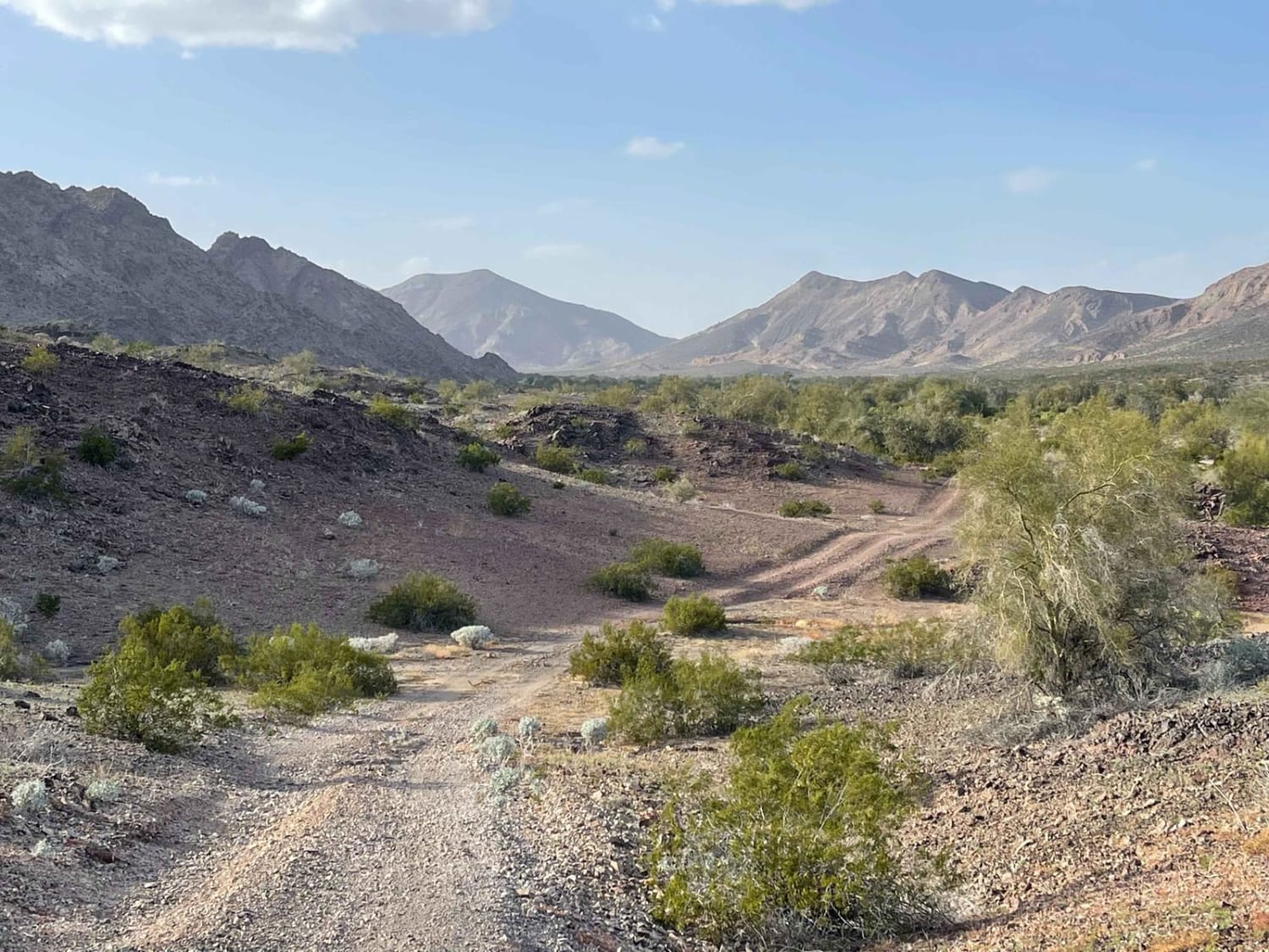
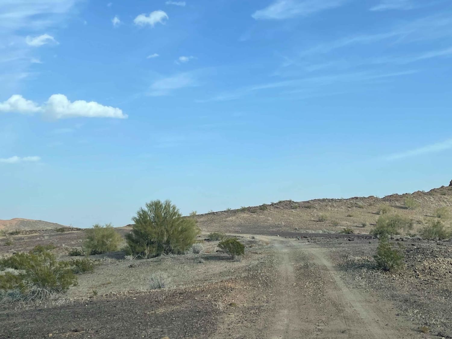
This is the main access route to get back toward the Paloma mountains area that borders the Naval Warfare Range. The trail begins in farmland access passing right by the WWII memorial for the 81st infantry division of 1943. "The Wildcats" Once past this pyramid-shaped memorial, there is a decently graded trail around the farms and the old irrigation ditches. Be on the lookout for sharp metal hiding in the bushes. Once past the farms, the trail becomes more interesting with sandy washes and rocky sections. It begins in Arizona state land trust land where a use permit is required. Once passed, it becomes open BLM land as it continues into the hills. There are a few old fire rings with dispersed camping spots along the way. The further one travels along the trail, the more magnificent the mountains become. Be on the lookout for old mines along the route and red-tailed hawks hunting the area. A few bars of Verizon LTE fade in and out along the way. some of the deeper sandy sections and off-camber transitions
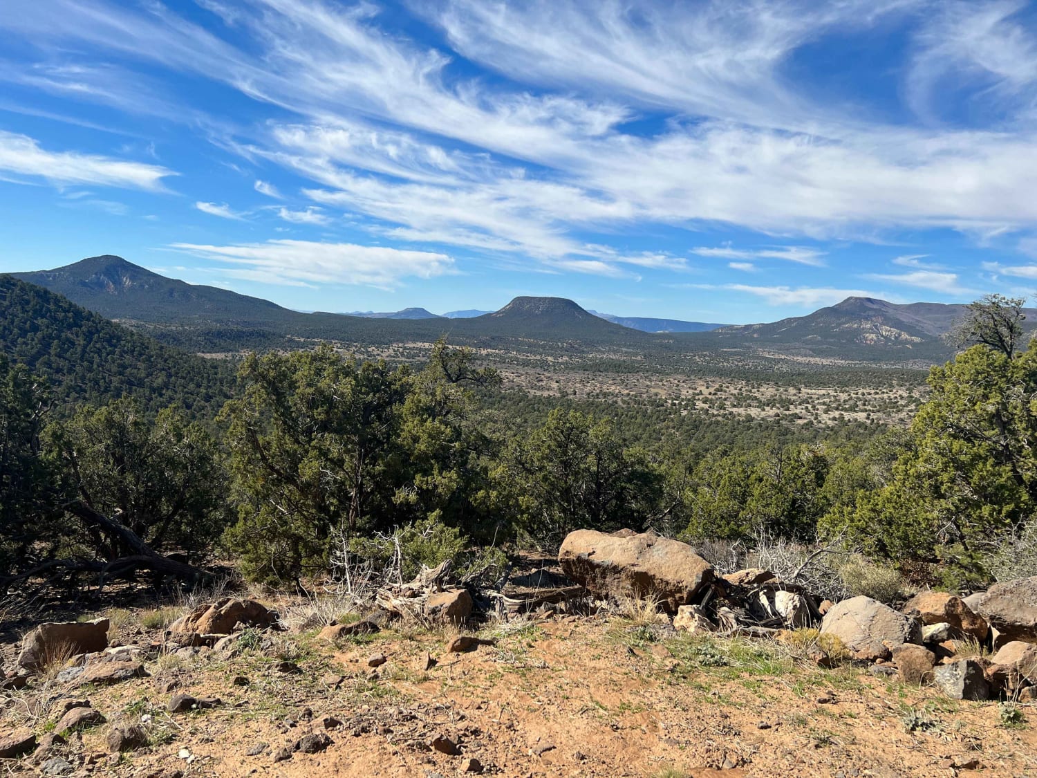
Photos of Palomas Flats
Difficulty
Expect some of the deeper sandy sections and off-camber transitions.
Status Reports
Palomas Flats can be accessed by the following ride types:
- High-Clearance 4x4
- SUV
- SxS (60")
- ATV (50")
- Dirt Bike
Palomas Flats Map
Popular Trails

Windmill Cross

Powerline Perimeter

Sheepshead Trail - FS 9541
The onX Offroad Difference
onX Offroad combines trail photos, descriptions, difficulty ratings, width restrictions, seasonality, and more in a user-friendly interface. Available on all devices, with offline access and full compatibility with CarPlay and Android Auto. Discover what you’re missing today!


