Powerline Road
Total Miles
6.9
Technical Rating
Best Time
Spring, Fall, Summer, Winter
Trail Type
Full-Width Road
Accessible By
Trail Overview
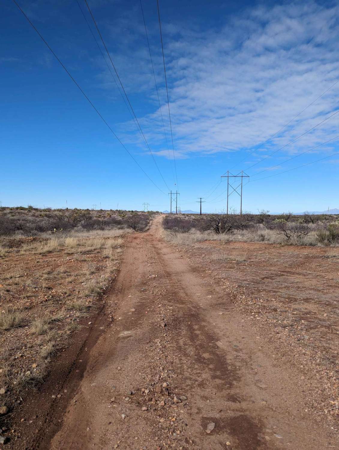
The Powerline Road is a rugged trail that begins just off of Old Sonoita Highway and runs eastward along I-10 towards the Whetstone Mountains. The Powerline trail is popular with ATVs, dirt bikes, SxSs, and other off-road vehicles. Back-road travel can be hazardous, so be aware of weather and road conditions. Carry plenty of water. Don't travel alone, and let someone know where you are going and when you plan to return. Cell service is patchy, so download your map before your trip. The time to complete and the difficulty listed are subject to many factors, including the vehicle type used and the rider's capabilities.
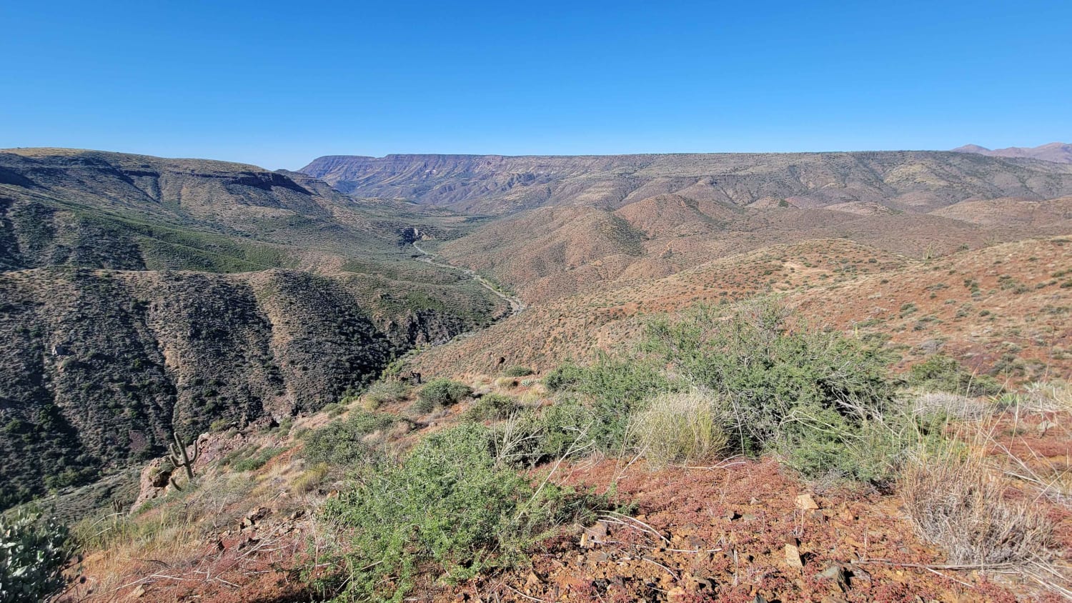
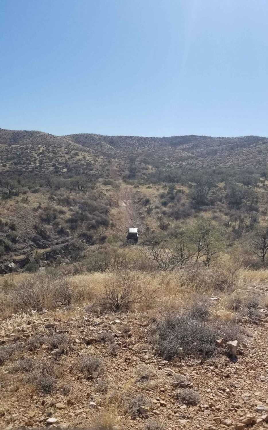
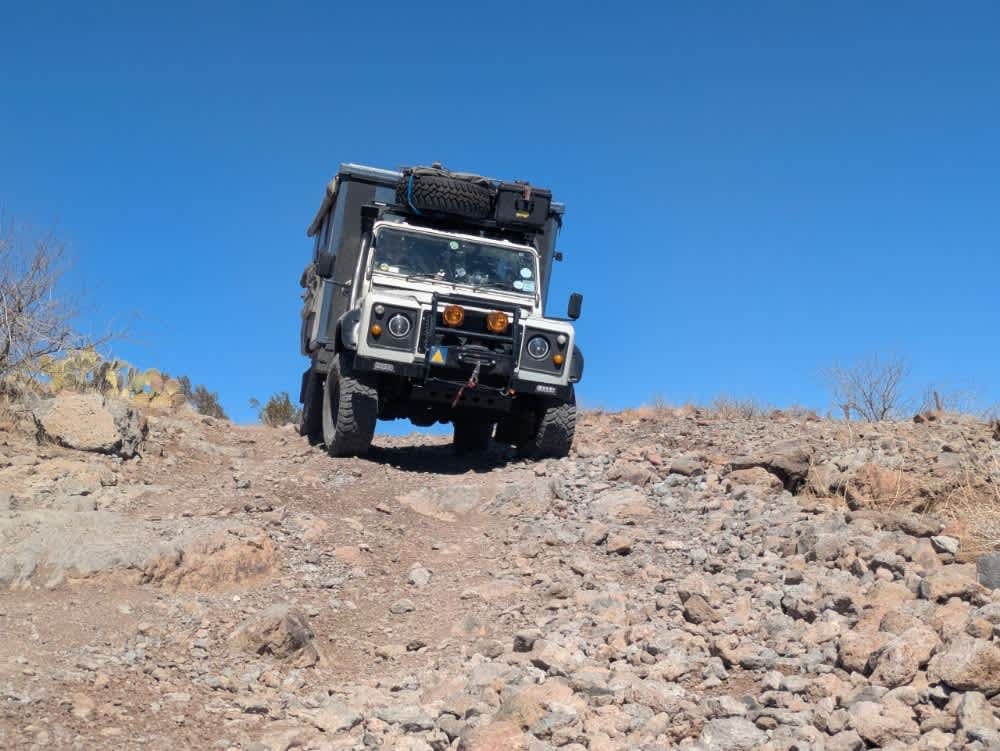
Photos of Powerline Road
Difficulty
This trail features several wash crossings that may have water present depending on the recent rainfall. The trail also has several steep and rocky hill climbs, where having at least a rear locker will be beneficial. Several large to medium ruts will be encountered. Rain or snow could affect the road, so definitely check the weather conditions before you head out and pack plenty of water.
Powerline Road can be accessed by the following ride types:
- High-Clearance 4x4
- SUV
- SxS (60")
- ATV (50")
- Dirt Bike
Powerline Road Map
Popular Trails

Pyeatt Draw

Cramm Mountain Loop

Buffalo Crossing - Lost Cienega Rd
The onX Offroad Difference
onX Offroad combines trail photos, descriptions, difficulty ratings, width restrictions, seasonality, and more in a user-friendly interface. Available on all devices, with offline access and full compatibility with CarPlay and Android Auto. Discover what you’re missing today!


