Rincon Mine Road
Total Miles
1.7
Technical Rating
Best Time
Spring, Summer, Fall
Trail Type
Full-Width Road
Accessible By
Trail Overview
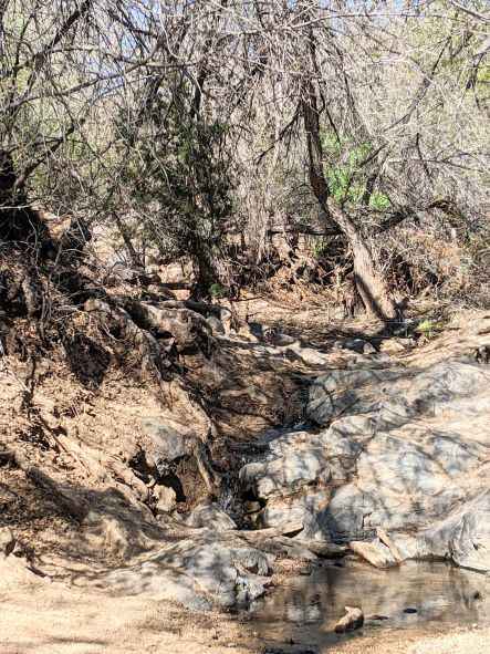
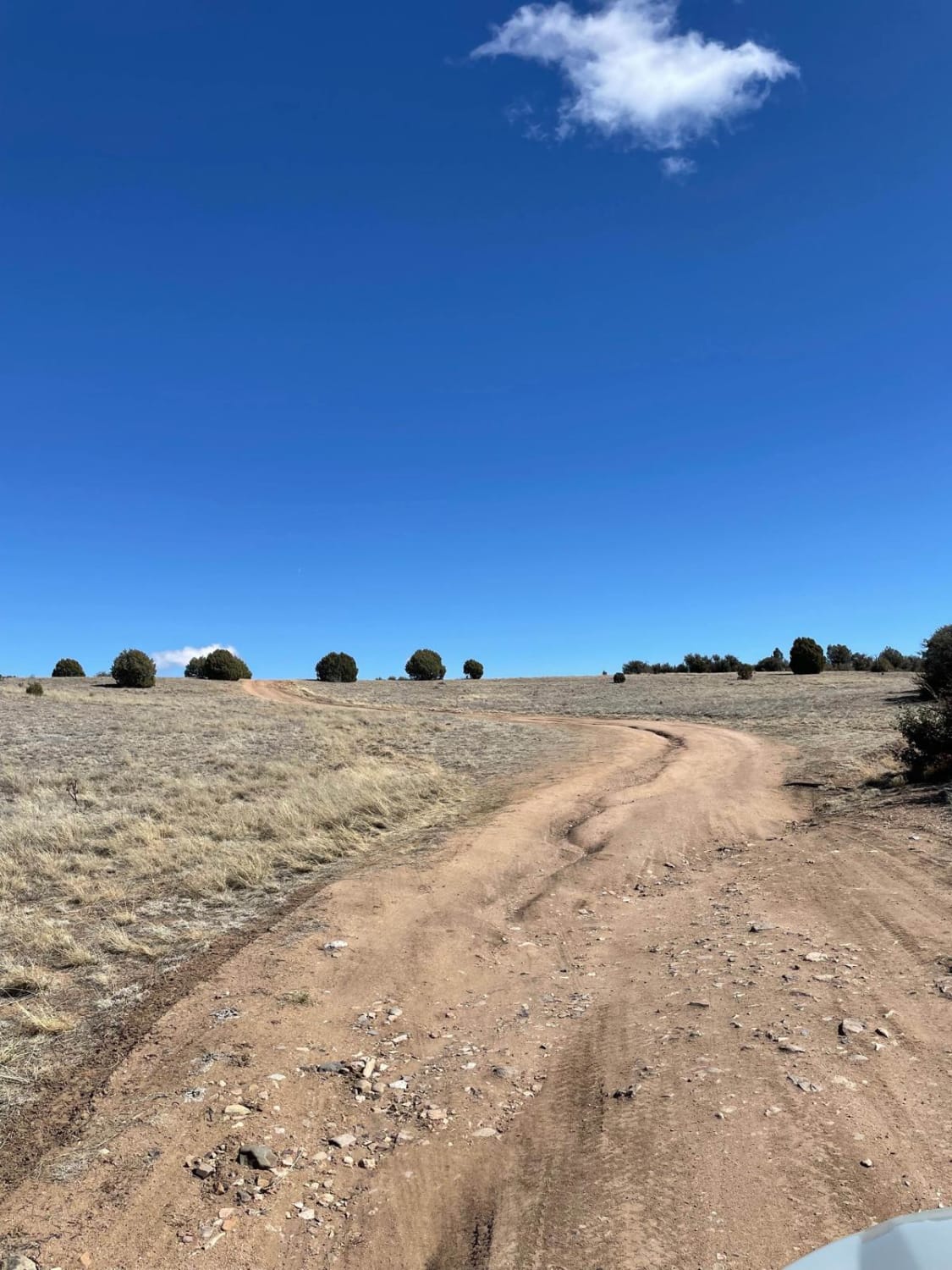
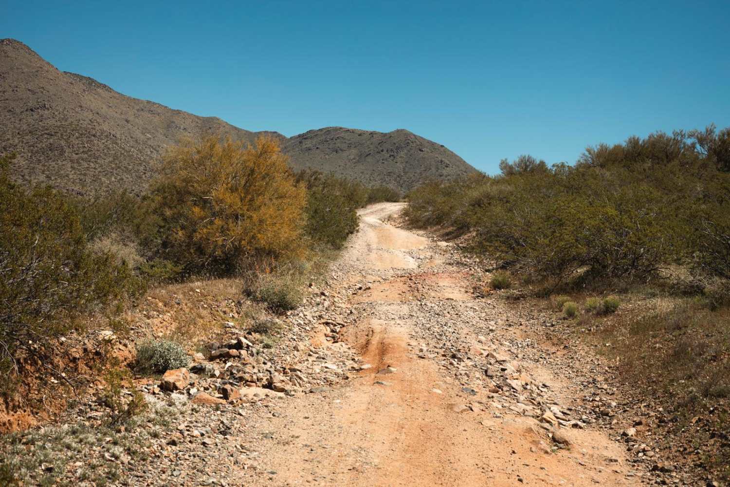
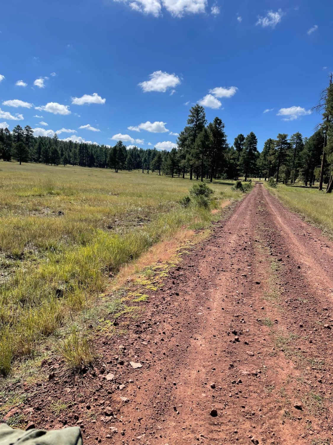
The Rincon Mine Road is a one-lane dirt road that heads uphill with its final destination at the Rincon Mine. Parts of this road are on a rock shelf and the majority of it is rocky. There is one major obstacle on this road, aside from the erosion and possible growing washouts. A double-shelf set makes this road a bit of a challenge; proper line choice is essential. There is a large camping area with primitive fire pits along this trail, as well as stunning views that show the various forms of cactus in the area. This trail starts on Arizona State Trust Land which requires a yearly permit that can be purchased and printed online. The permit allows certain recreational activities, including camping, bicycling, bird watching, GPS-based recreational activities (geocaching), hiking, horseback riding, off-highway vehicle (OHV) usage, photography, picnicking, and sightseeing.
Photos of Rincon Mine Road
Difficulty
This is an unmaintained mining road that has obstacles, off-camber, and erosion along it. Caution is urged on the steep grades of loose rock.
Status Reports
Popular Trails

Log Corral Thrill Ride to the Beach

Dodging Junipers

Belmont Mountain to Blue Wash Mine
The onX Offroad Difference
onX Offroad combines trail photos, descriptions, difficulty ratings, width restrictions, seasonality, and more in a user-friendly interface. Available on all devices, with offline access and full compatibility with CarPlay and Android Auto. Discover what you’re missing today!


