Road to the Mountain's Foot
Total Miles
4.8
Elevation
1,345.78 ft
Duration
0.75 Hours
Technical Rating
Best Time
Spring, Summer, Fall
Trail Overview
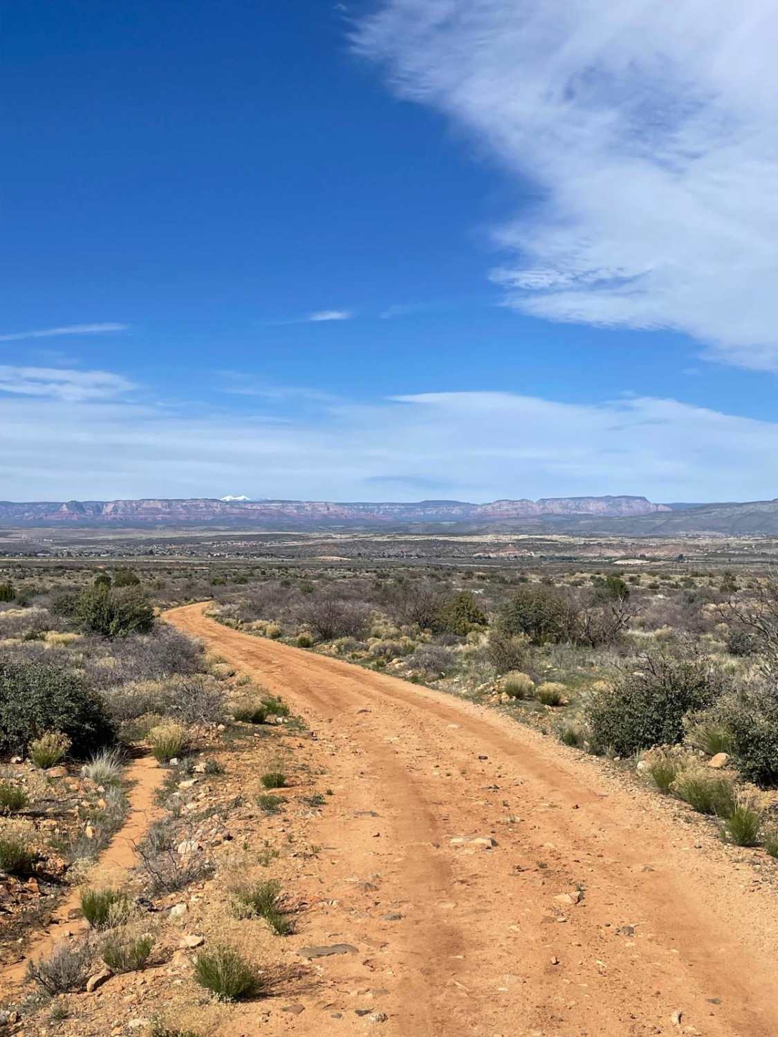
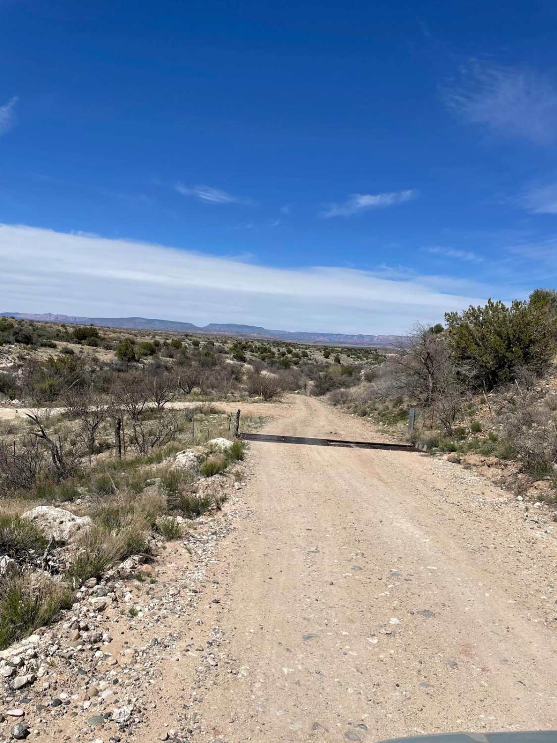
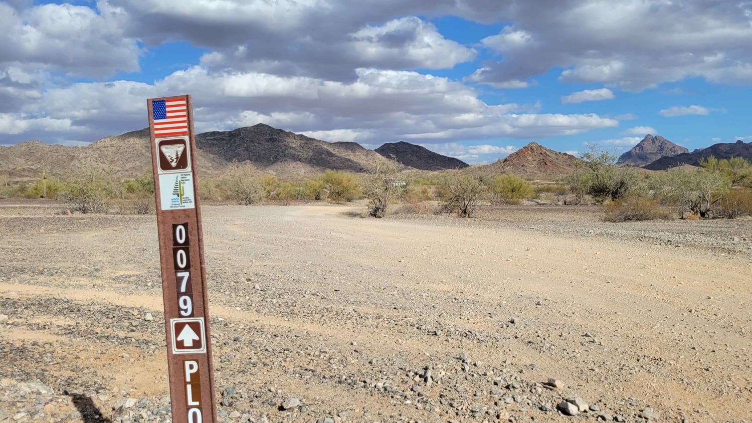
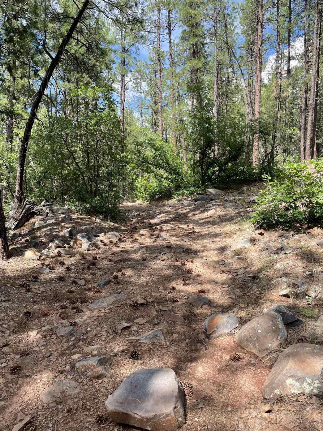
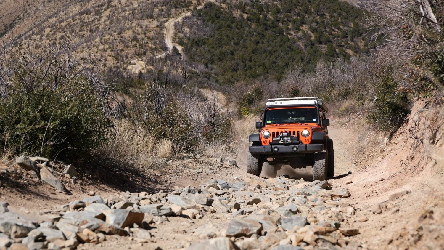
Measuring just shy of 5 miles, this trail takes you from the lower elevation desert to the base of the Black Hills. The first part of this trail is a dirt road with small rock gardens here and there. After the first section, there is a long straightaway that becomes a mixture of small rock gardens, loose rocks, and several small erosion ruts. The trail then takes a left and starts the final climb to the base of the Black Hills. This last section of the trail crosses two sandy washes and consists of some small hill climbs with loose rocks all over the road. This final section of the trail is very overgrown with cat claw bushes, so be aware of possible paint damage. At the end of this trail, you will see a campsite on your right and the road comes to a halt at the mountain's foot. There is plenty of room to turn around at the end of the road. The end of this trail is a great place to get out and admire the landscape. The ending elevation tally is just over 1,000 feet of elevation gain.
Photos of Road to the Mountain's Foot
Difficulty
Expect a rutted dirt road with loose rocks, small hill climbs, and sandy washes.
Status Reports
Popular Trails
Road to the Summit of Rice Peak

Arrowhead Cove Road - 2A
The onX Offroad Difference
onX Offroad combines trail photos, descriptions, difficulty ratings, width restrictions, seasonality, and more in a user-friendly interface. Available on all devices, with offline access and full compatibility with CarPlay and Android Auto. Discover what you’re missing today!
